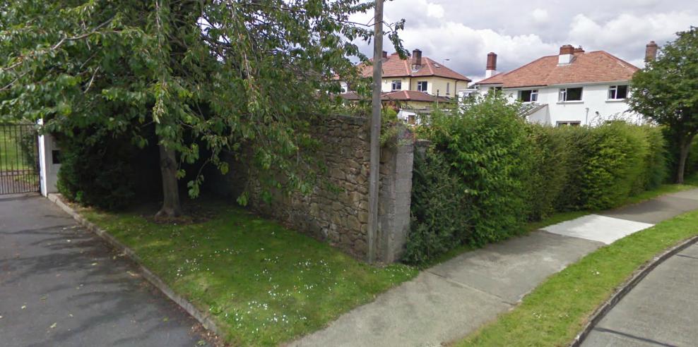
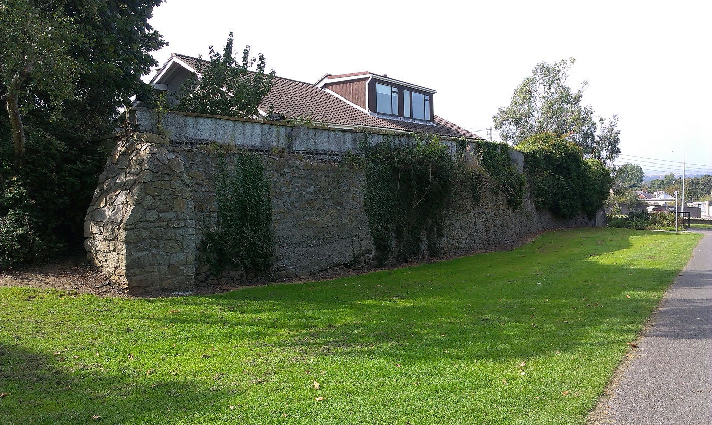
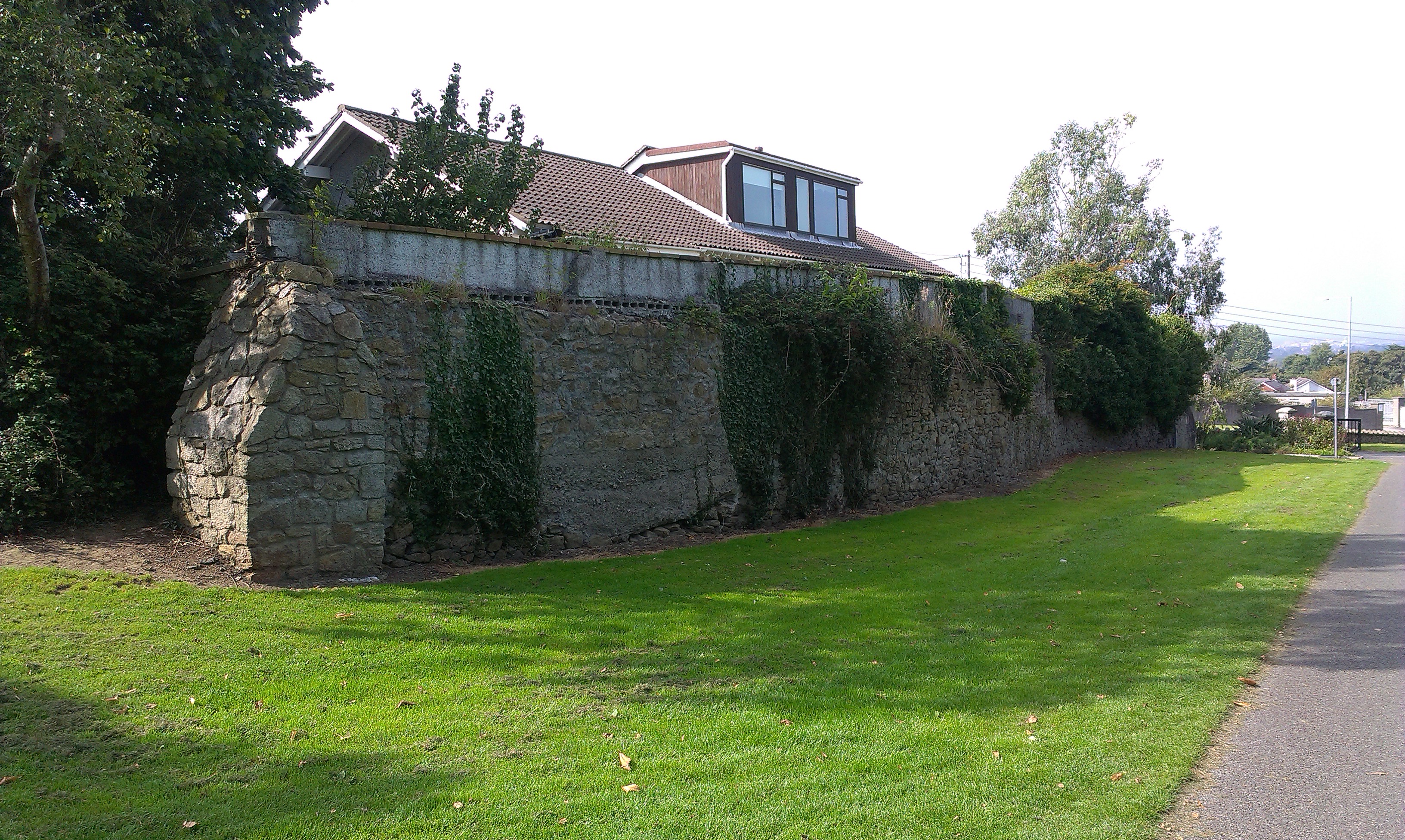
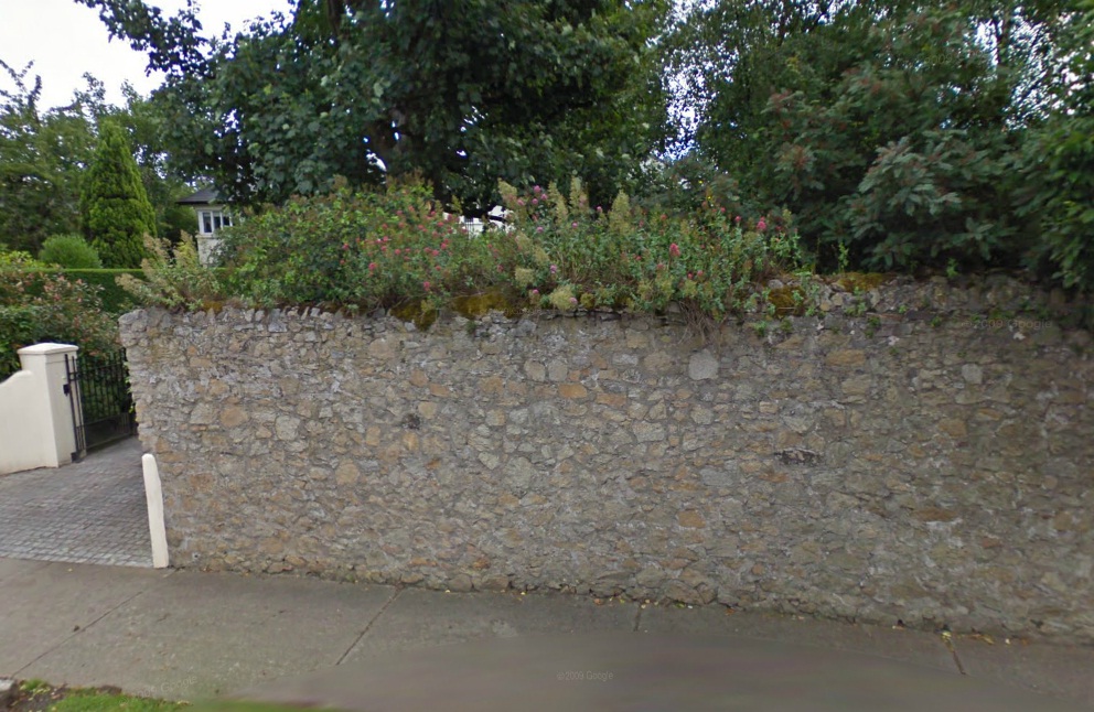
Part of the old Mount Merrion demesne wall
survives as the back wall of all houses along the S side of Trees Rd.
(Part of it forms the N wall of Oatlands school grounds.)
Above is the intersection with Cherry Garth.
From Google street view.
See 1829 to 1842 map
(turn Overlay on and off).
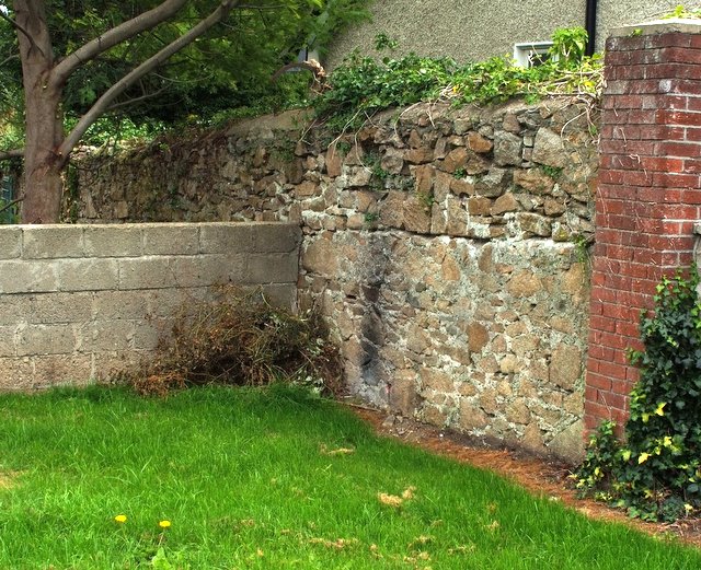
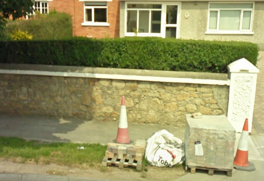
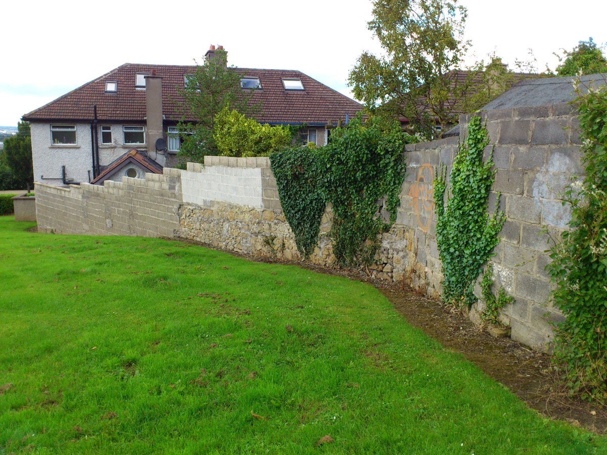
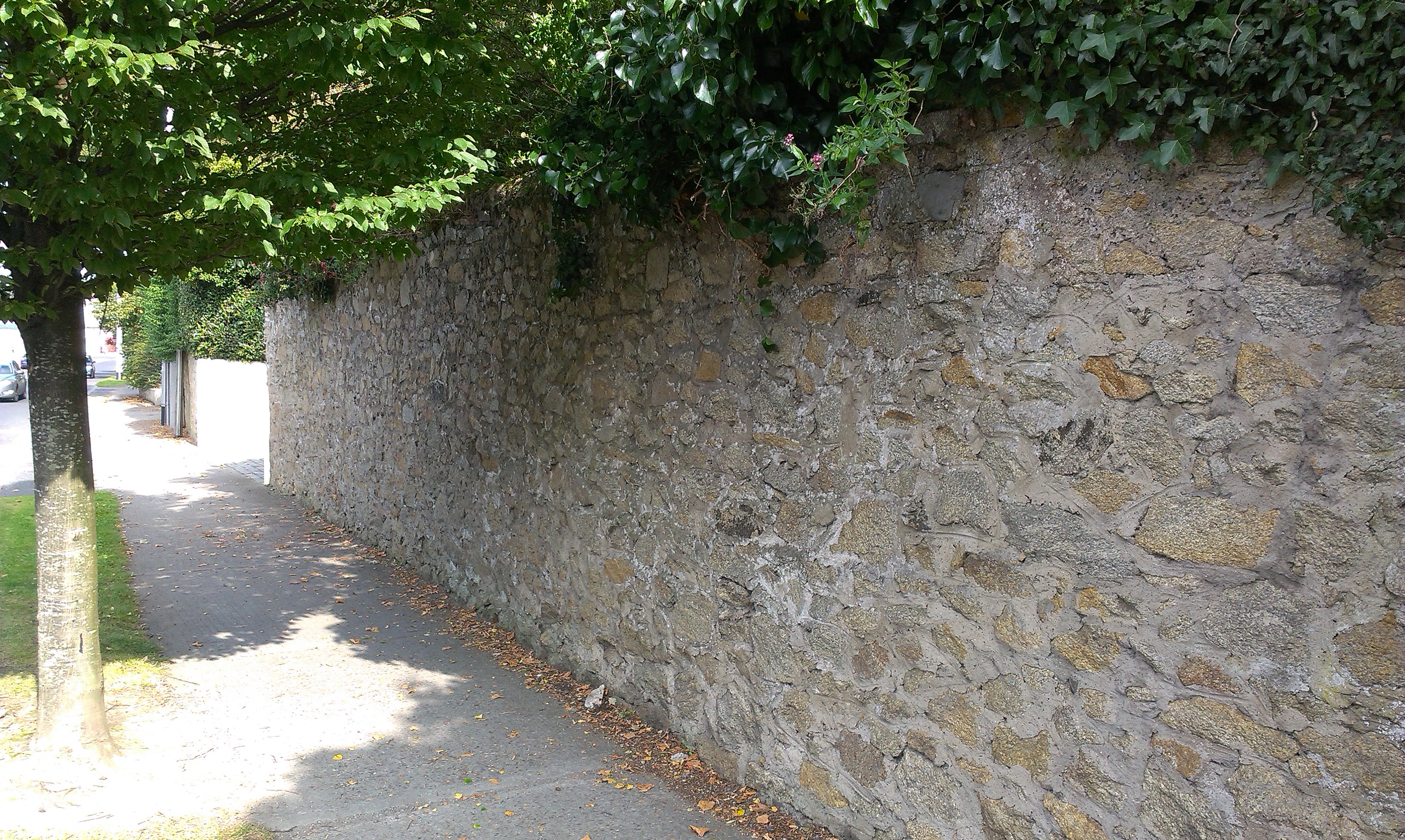
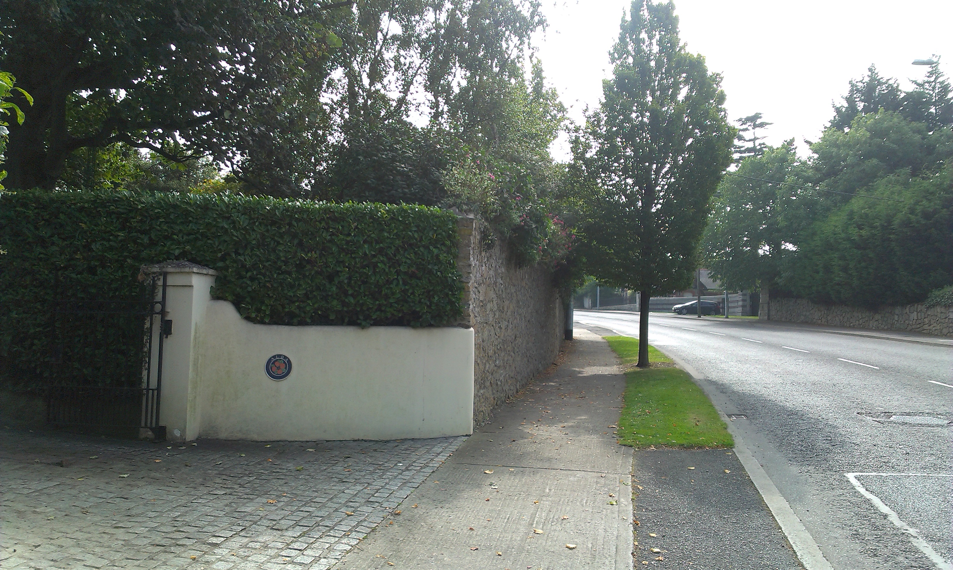
The old wall intersecting with Cherry Garth. Across the road from the above.
Not visible on 2009 street view
because overgrown, but quite visible in real life at this spot in 2012.
From Mount Merrion 300.
Used with permission.
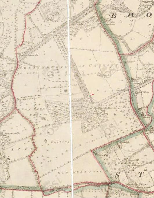
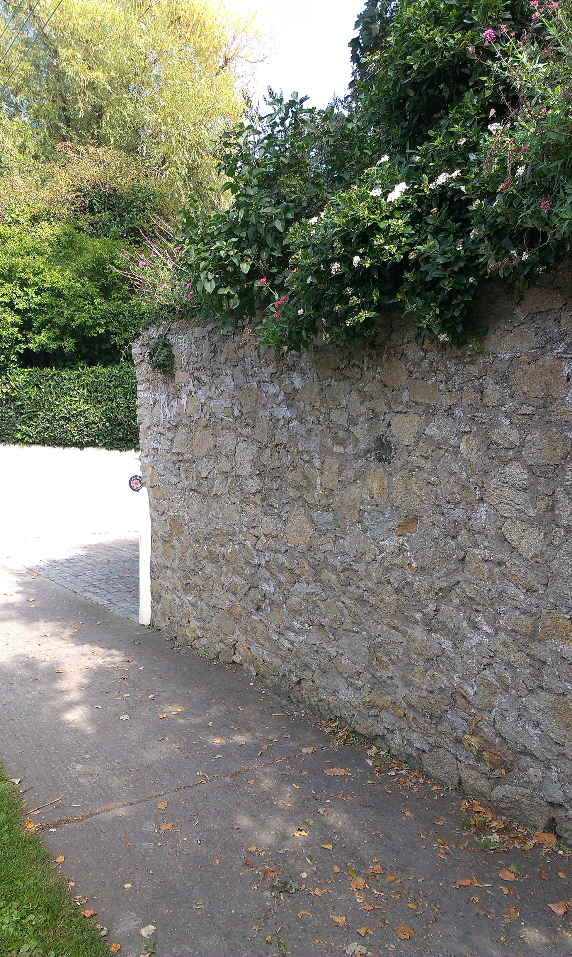
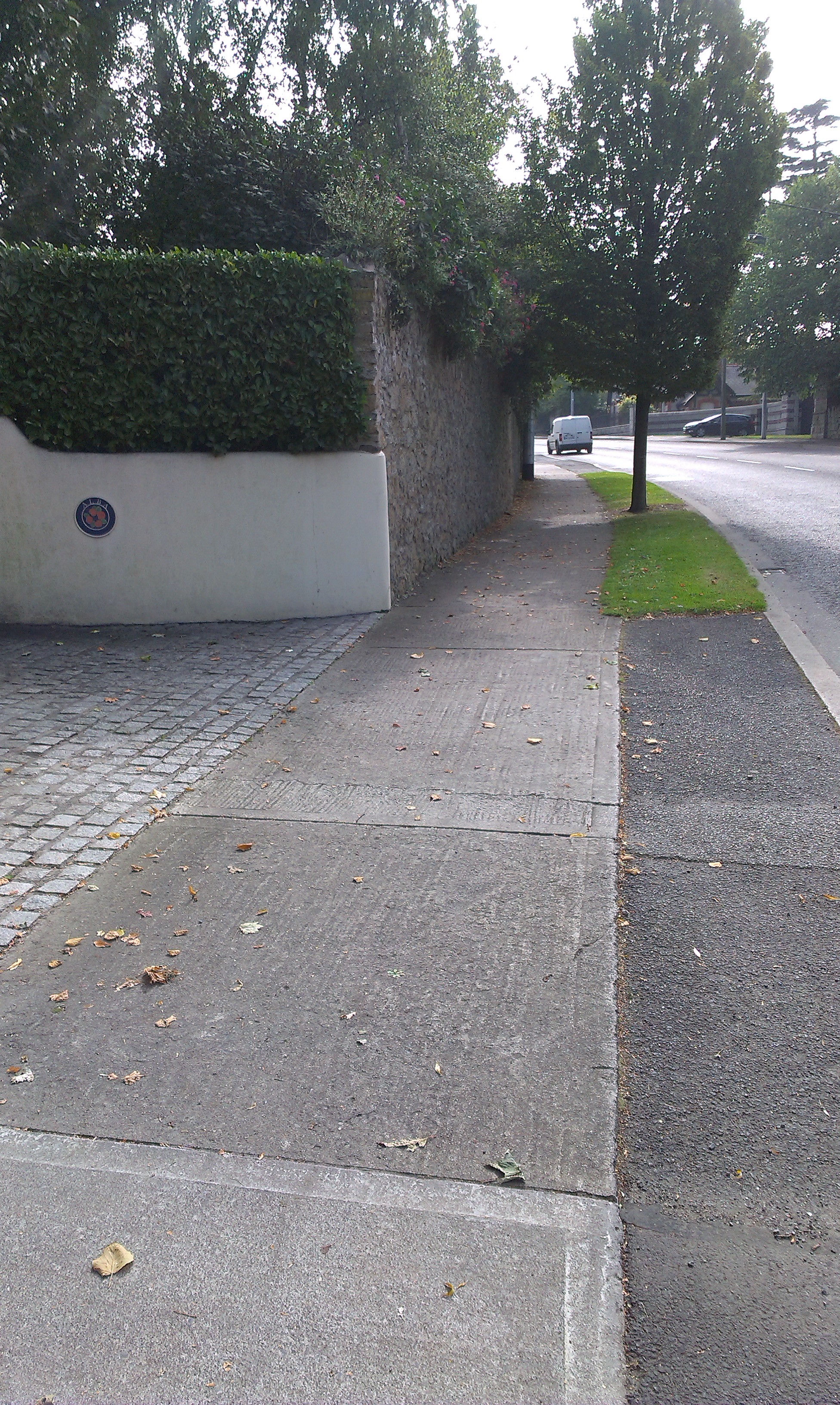
Near the top of Trees Rd
the old Mount Merrion demesne wall turns south and forms the back wall of houses on the E side of South Avenue
and houses on the W side of Cherry Garth.
Above is the intersection with Kilmacud Rd.
From Google street view.
See 1829 to 1842 map
(turn Overlay on and off).
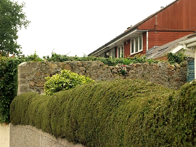
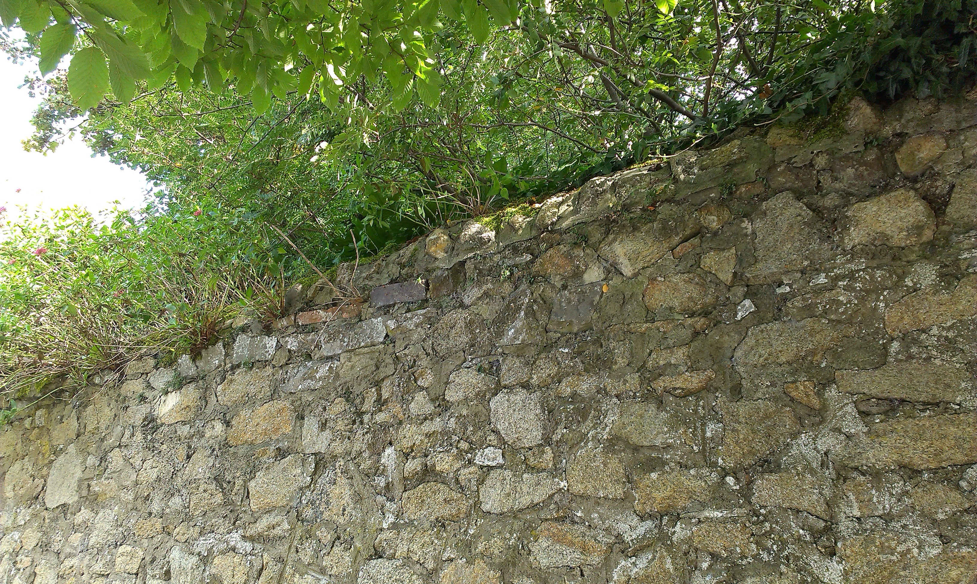
Photo of above.
From Mount Merrion 300.
Used with permission.
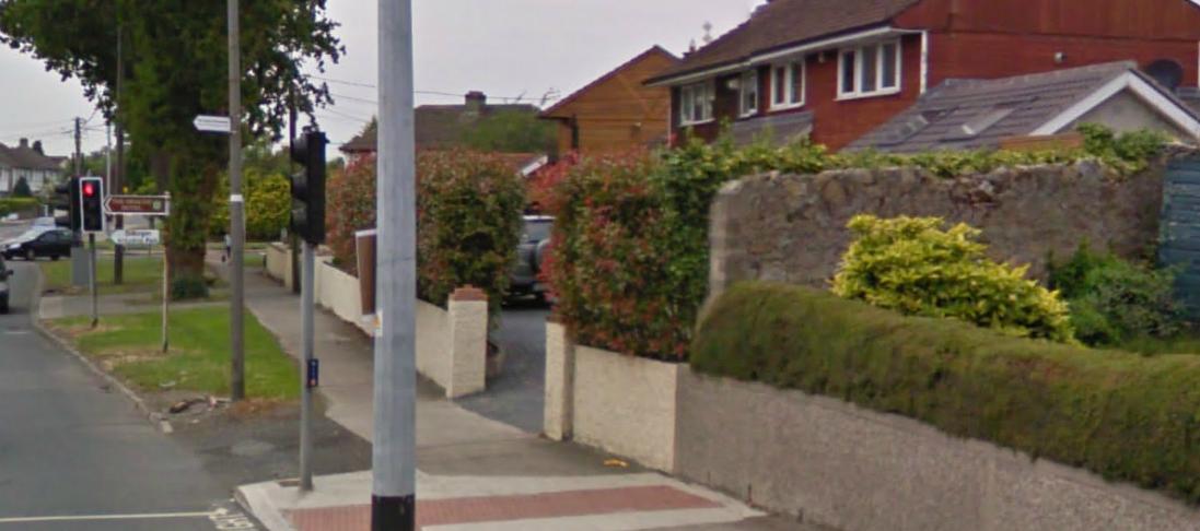
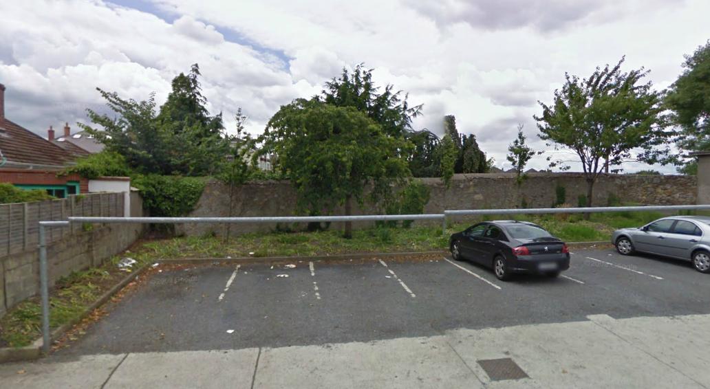
At Kilmacud Rd the wall turned W along the road for a distance.
There are segments like the above along Kilmacud Rd today,
which look like the old wall reduced in height.
From Google street view.
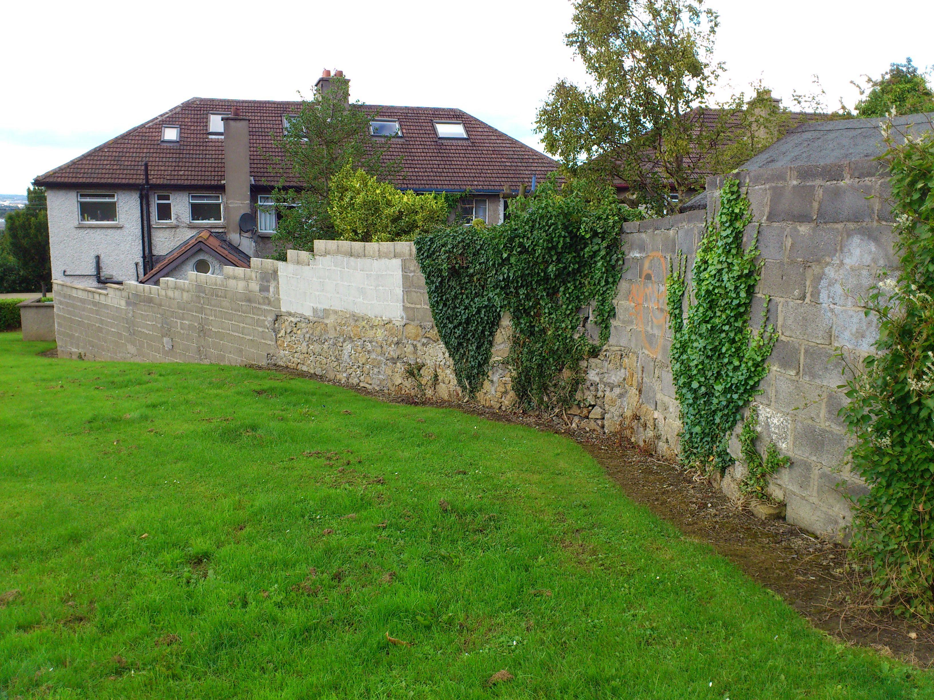
At what is now Redesdale Rd the wall turned N, to form the W boundary of the estate.
See 1829 to 1842 map
(turn Overlay on and off).
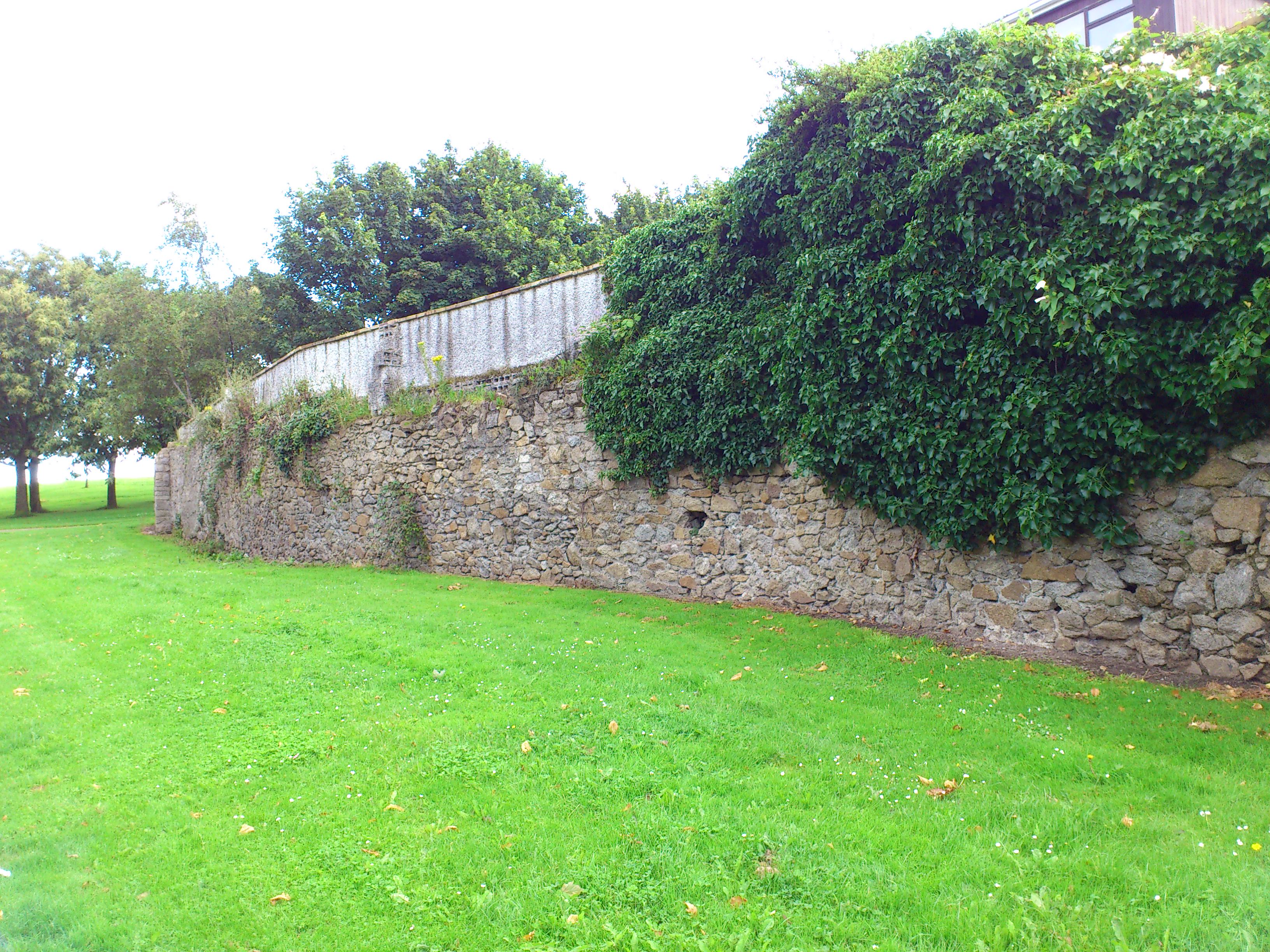
Much of the W boundary wall here survives,
forming the back walls of houses on the W side of Redesdale Rd.
The above is part of the W boundary wall at the top of Redesdale Rd, near the park entrance.
From Google street view.
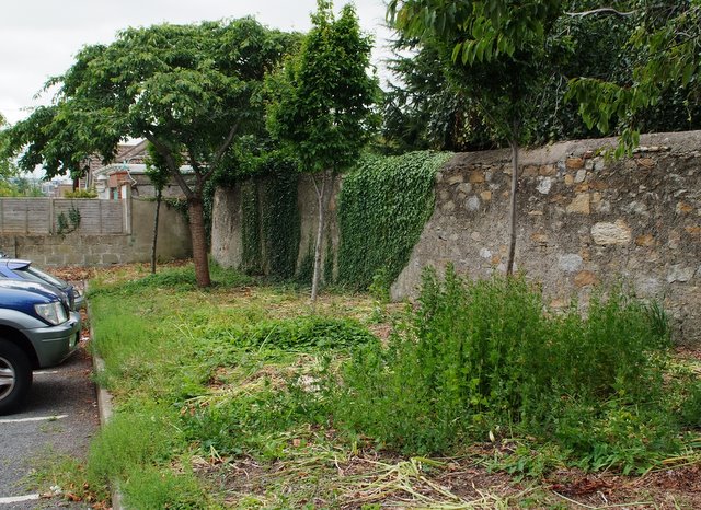
Photo of above.
From Mount Merrion 300.
Used with permission.

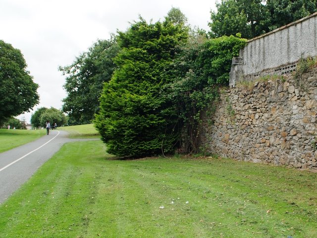
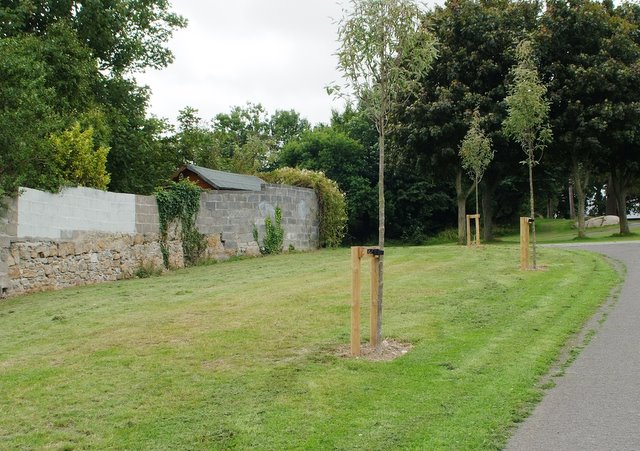
Part of the W boundary wall.
In the park. Near Mount Anville gate.
Photo 2012.
See full size.
See satellite view.
See another shot
from Mount Merrion 300.
Used with permission.
Another view of the same stretch of wall.
Photo 2014.
See larger
and full size.

The wall then runs up the E side of Mt Anville Rd towards Foster's Ave.
Some of the wall survives at the front of houses along the E side of Mt Anville Rd.
Above is view looking away from Deerpark.
Photo 2014.
See larger
and full size.
See other shot.
See close-up
of stonework.
See screenshot
from Google street view.

View from further down looking back towards Deerpark.
Photo 2014.
See larger
and full size.
See other shot.
Old wall inside park at exit to Deerpark Road.
This is an internal wall inside the Mount Merrion estate.
See 1887 to 1913 map
and street view.
Photo 2012.
See full size.
See another shot
from Mount Merrion 300.
Used with permission.
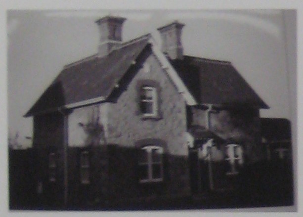
The Chief Steward's Lodge.
From Mount Merrion 300 exhibition.
Used with permission.
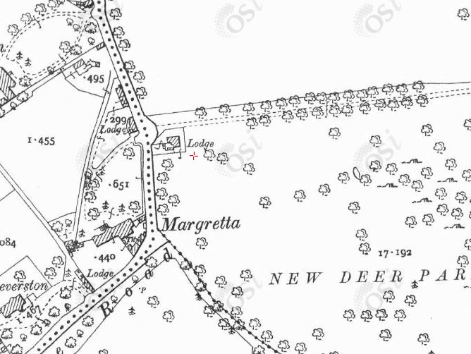
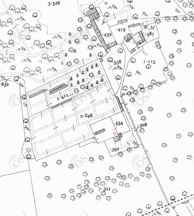
The Deerpark Road lodge (red cross) on
1887 to 1913 map.

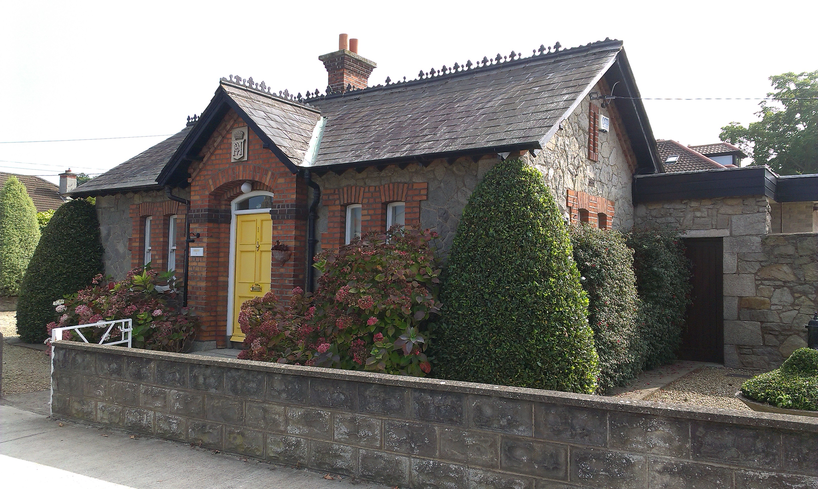
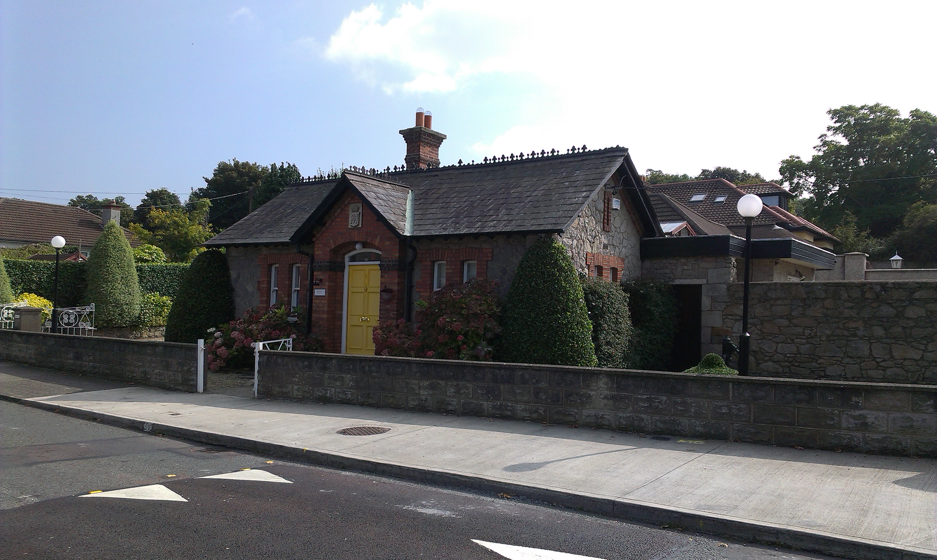
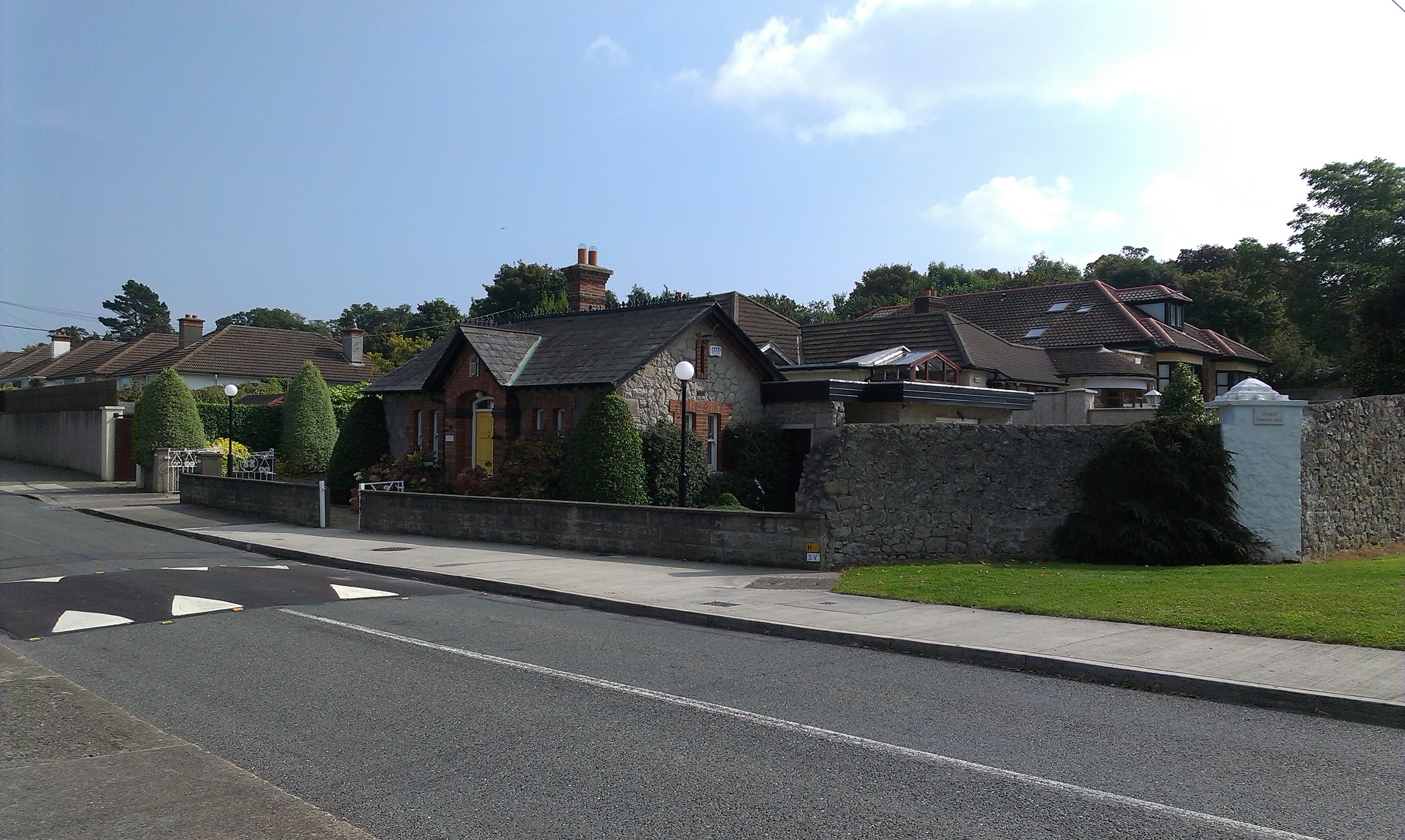
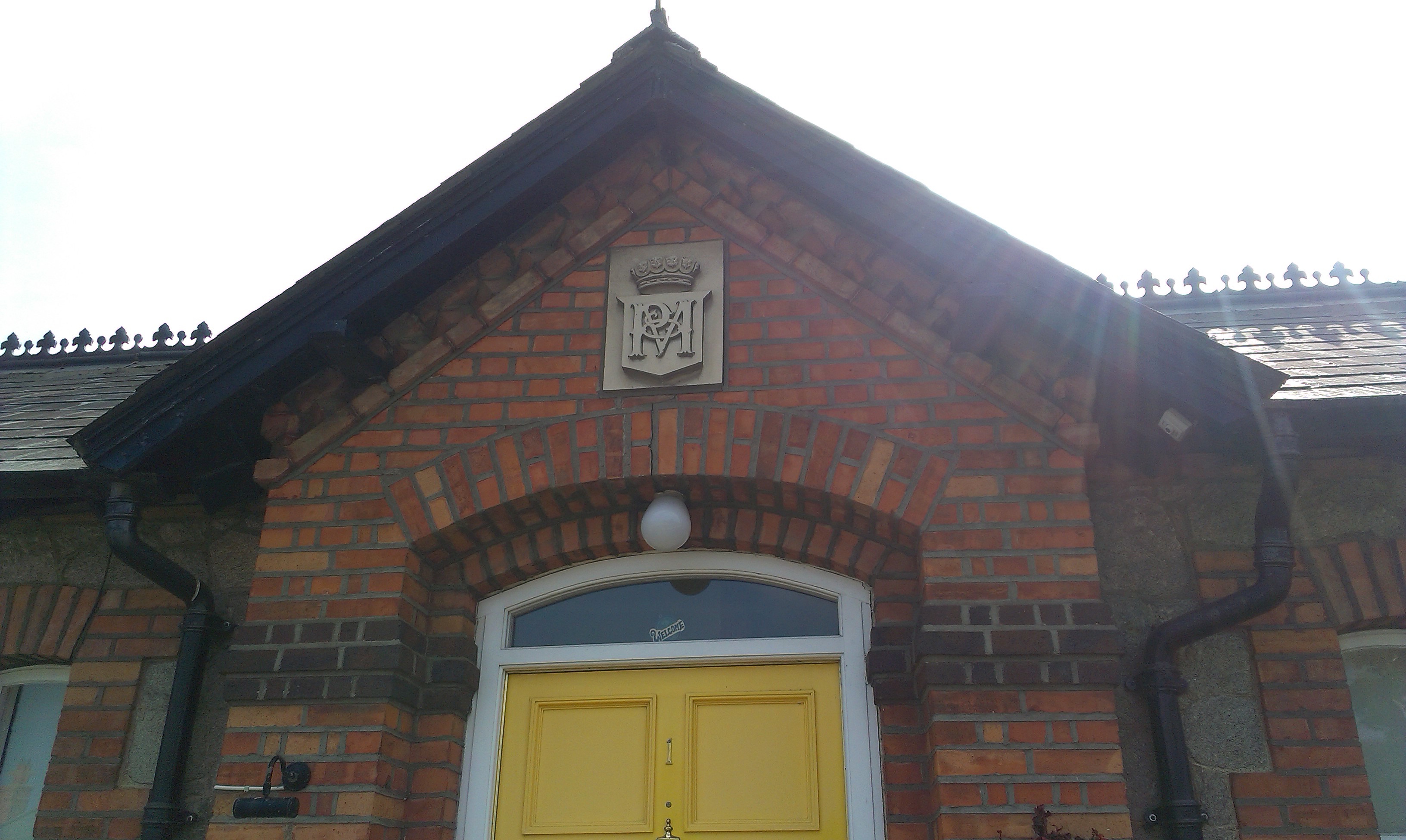
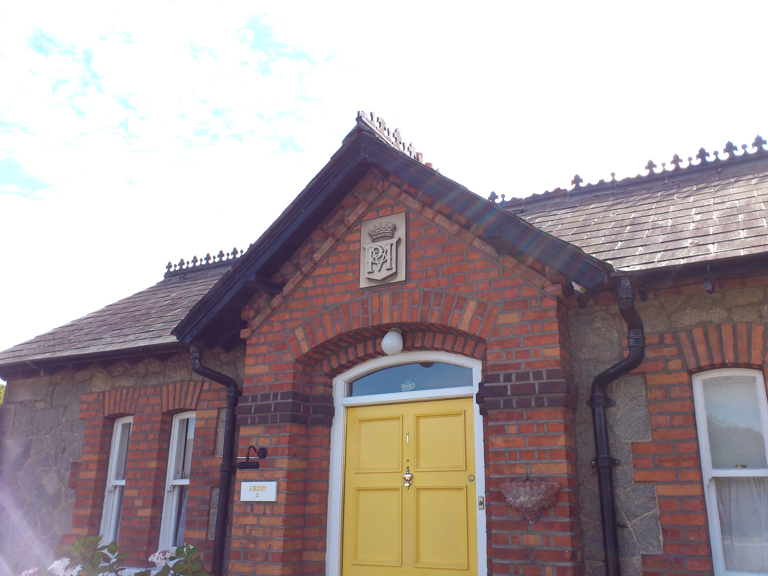
Lodge at corner of Deerpark Rd and Mt Anville Rd.
Note Pembroke and Montgomery crest.
Photo 2014.
See larger
and full size.
See wider shot
and wider shot.
See Google street view.
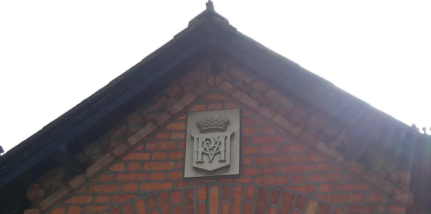
Pembroke and Montgomery crest on the lodge above.
Photo 2014.
See larger
and full size.
See 2012 shot.
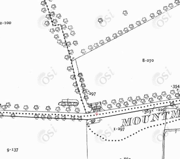
The Kilmacud Road lodges (red cross) on
1887 to 1913 map.
Redesdale Road does not yet exist.
The W boundary wall of the Mount Merrion estate runs North-South here beside the lodges.
Much of this wall survives.
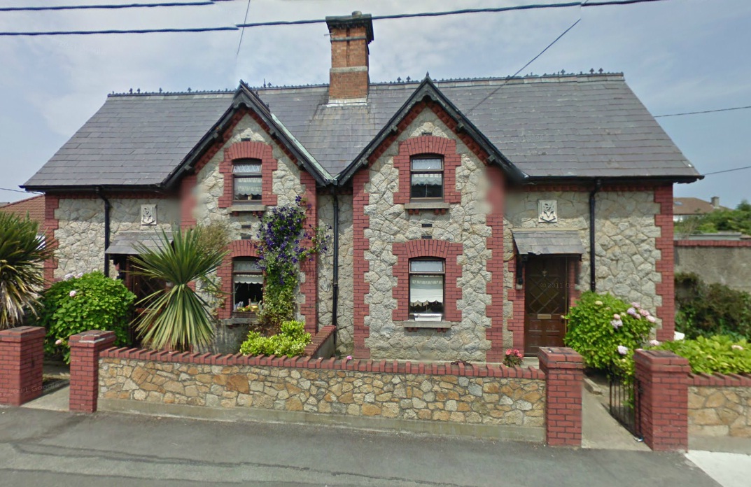
The two lodges at corner of
Redesdale Rd and Lr Kilmacud Rd.
Note Pembroke and Montgomery crests.
From Google street view.
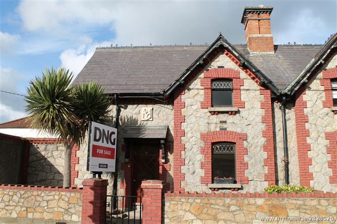
The LHS lodge (171 Lower Kilmacud Road).
For sale as at 2015 here.
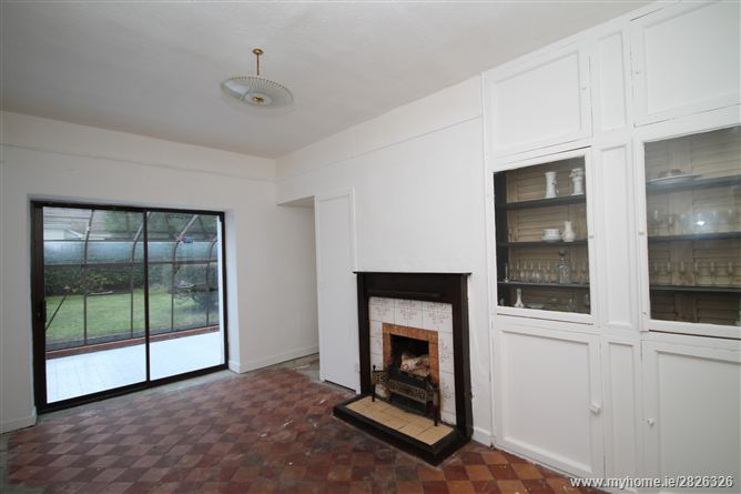
Interior of the LHS lodge. From above.
Return to
Mount Merrion House.
Please donate to support this site.
I have spent a great deal of time and money on this research.
Research involves travel and many expenses.
Some research "things to do"
are not done for years, because I do not have the money to do them.
Please Donate Here
to support the ongoing research and
to keep this website free.
