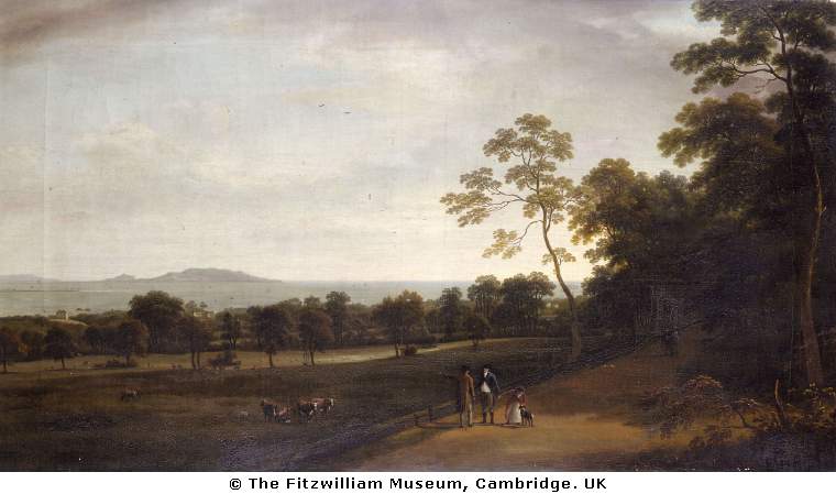
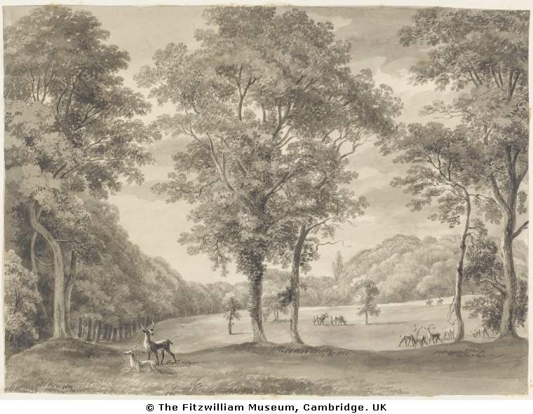
The Deer Park, Mount Merrion, must be c.1800, by William Ashford.
Used here with the kind permission of the
Fitzwilliam Museum, Cambridge.
Looking E to the sea. Dublin Bay and Howth Head in distance.
This might be the modern Deerpark Rd.
Or it might be the modern path inside Deer Park that runs along the N boundary of the trees
from the church to the Mount Anville gates.
Also here.
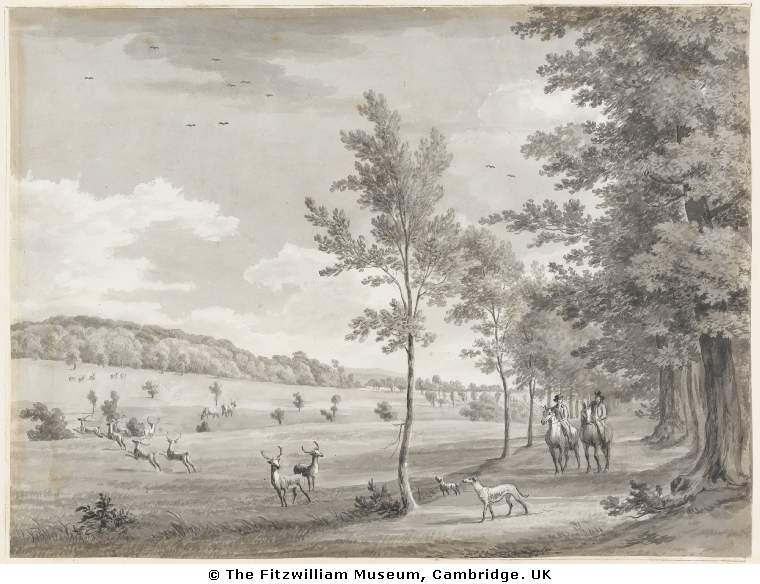
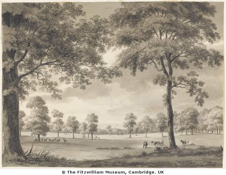
"Mount Merrion: view from the gate in Owenstown avenue", 1806,
by William Ashford.
Used here with the kind permission of the
Fitzwilliam Museum, Cambridge.
"Owenstown avenue" must be Foster's Ave, so this would be the modern N avenue.
But then the hill doesn't seem right.
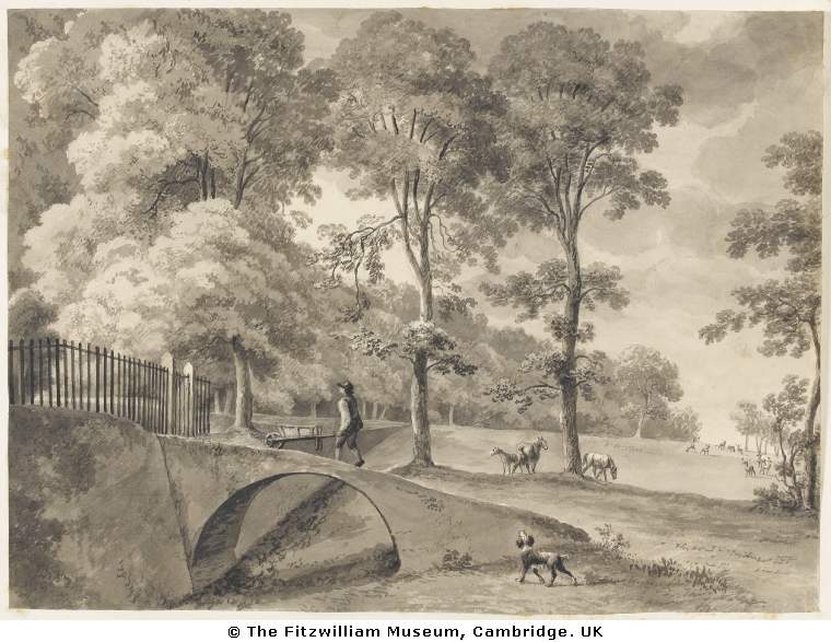
"Mount Merrion: view of the north terrace from the upper end of the north avenue", 1806,
by William Ashford.
Used here with the kind permission of the
Fitzwilliam Museum, Cambridge.
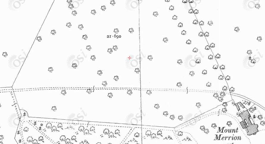
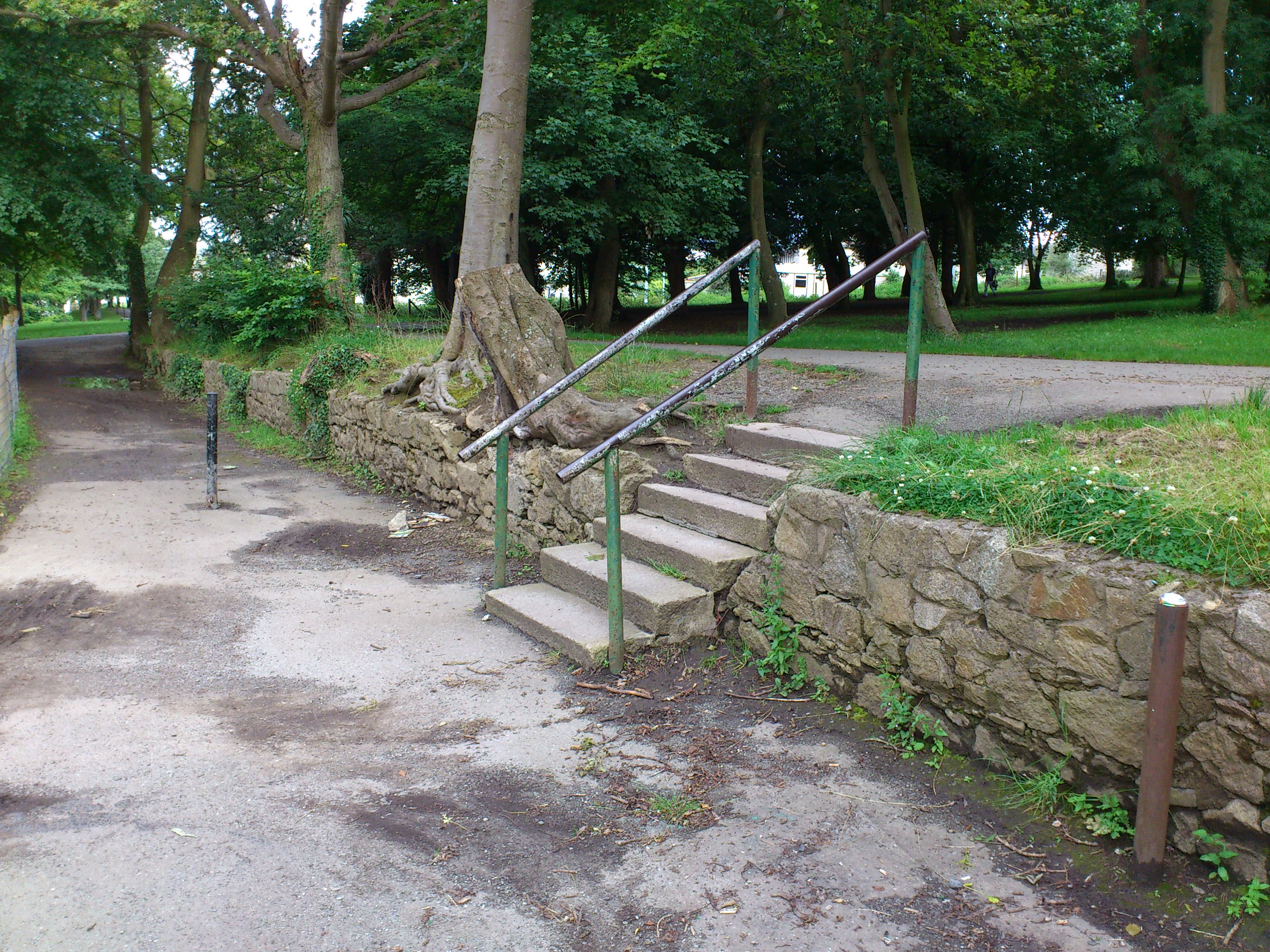
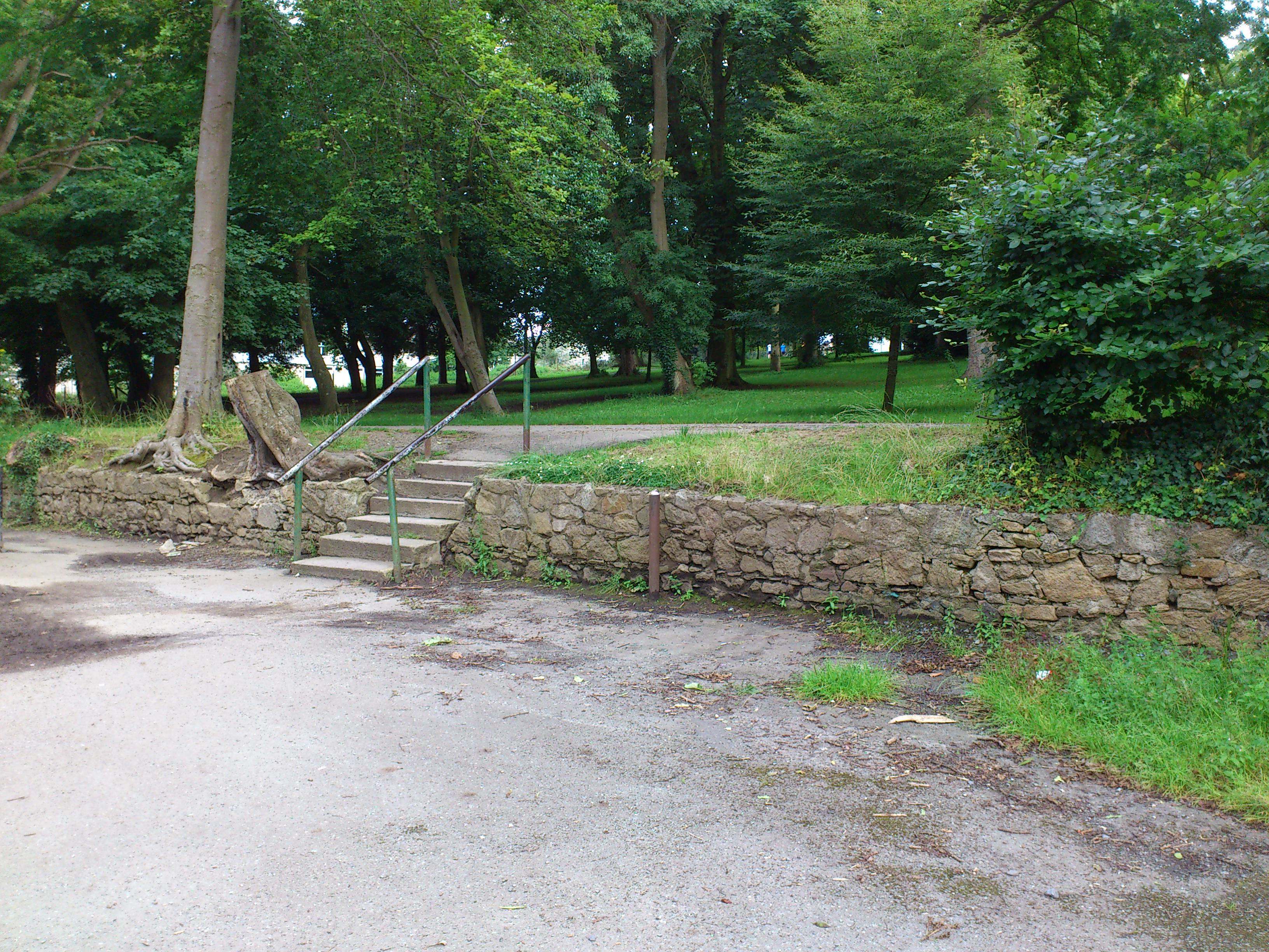
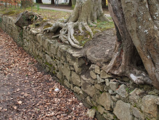
This is the ha-ha wall, which survives today.
This is around the lane between the playground and the shops on Deerpark Rd.
See street view.

The ha-ha wall today.
Photo 2012.
See full size
and other shot.
See another shot
from Mount Merrion 300.
Used with permission.
"Mount Merrion: view of the fir grove from the west side of the north avenue", 1806,
by William Ashford.
Used here with the kind permission of the
Fitzwilliam Museum, Cambridge.
"Mount Merrion: view of the bay from the upper end of the north avenue", 1806,
by William Ashford.
Used here with the kind permission of the
Fitzwilliam Museum, Cambridge.
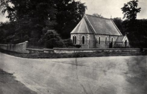
St.Thomas' church,
Foster Ave.
From [Mount Merrion Estates, 1925-26].
See 1887 to 1913 map
and modern
street view.
Return to
Mount Merrion House.
Please donate to support this site.
I have spent a great deal of time and money on this research.
Research involves travel and many expenses.
Some research "things to do"
are not done for years, because I do not have the money to do them.
Please Donate Here
to support the ongoing research and
to keep this website free.
