|
The gable end (the E end of the house)
The "folly" (probably just the W end of the house) |
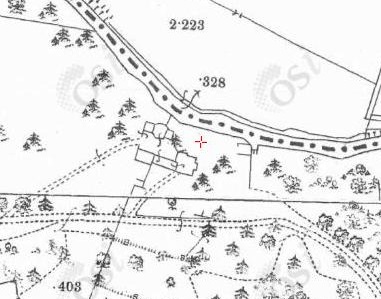
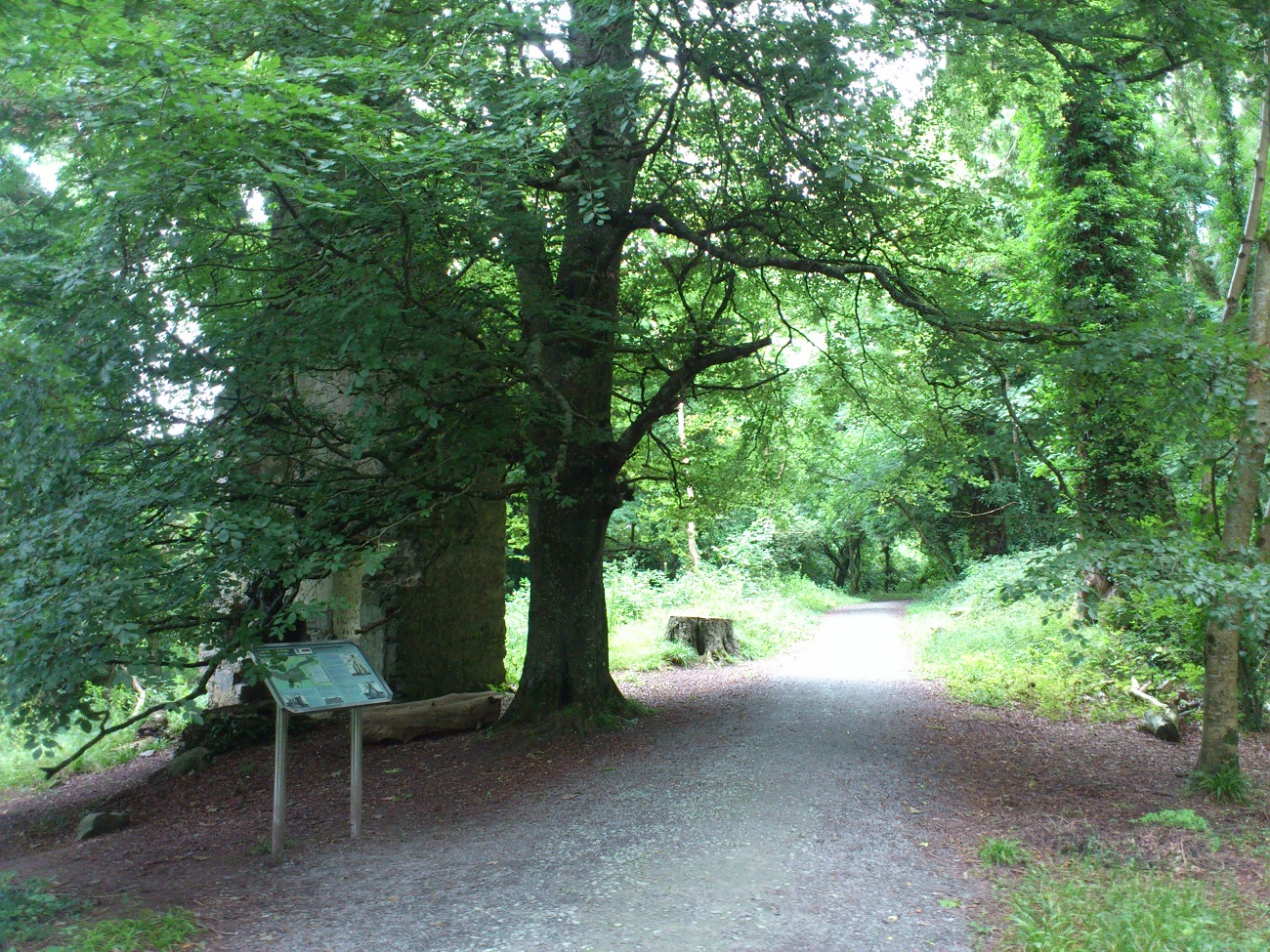
The gable end of the house.
From the SW (inside) side.
Photo 2013.
See larger
and full size.
See other shot.
See 2016 shot
and 2016 shot.
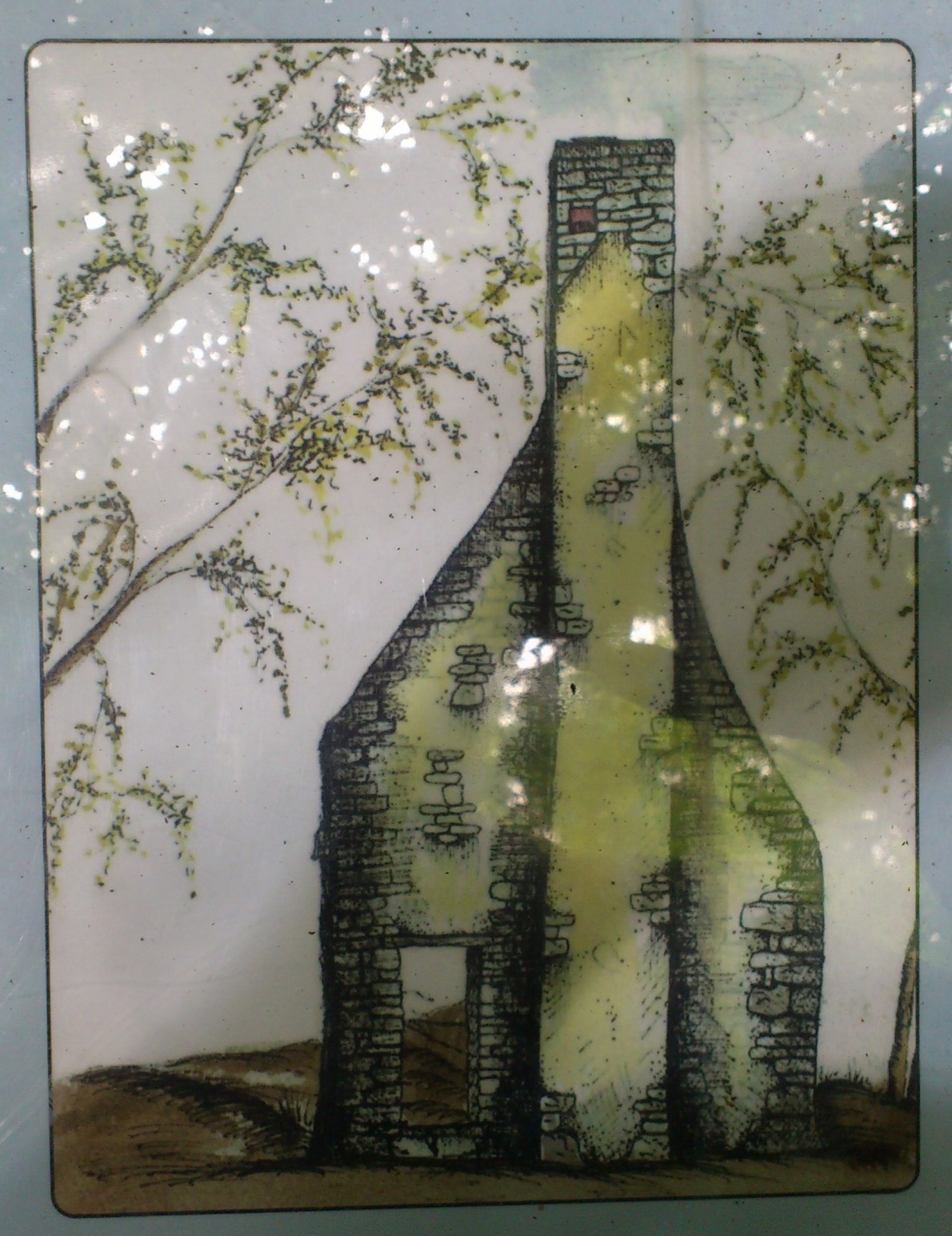
Drawing on the sign at the location.
Shows the outside (E side).
Photo 2013.
See larger
and full size.
See text.
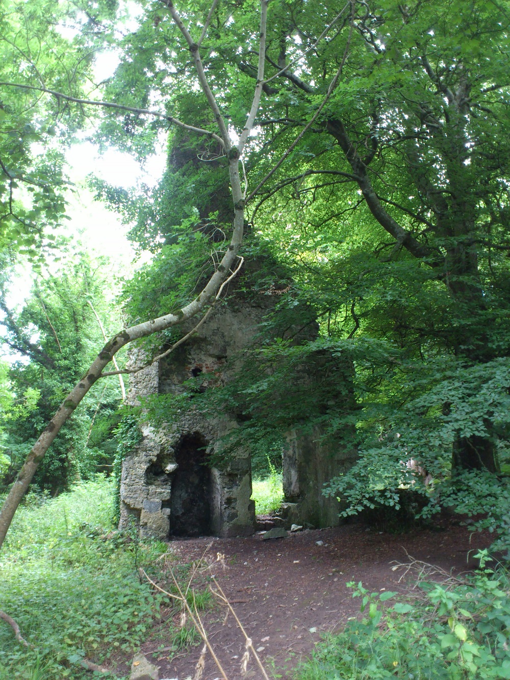
The gable end. The inside (W side).
Photo 2013.
See larger
and full size.
See closer
and closer.
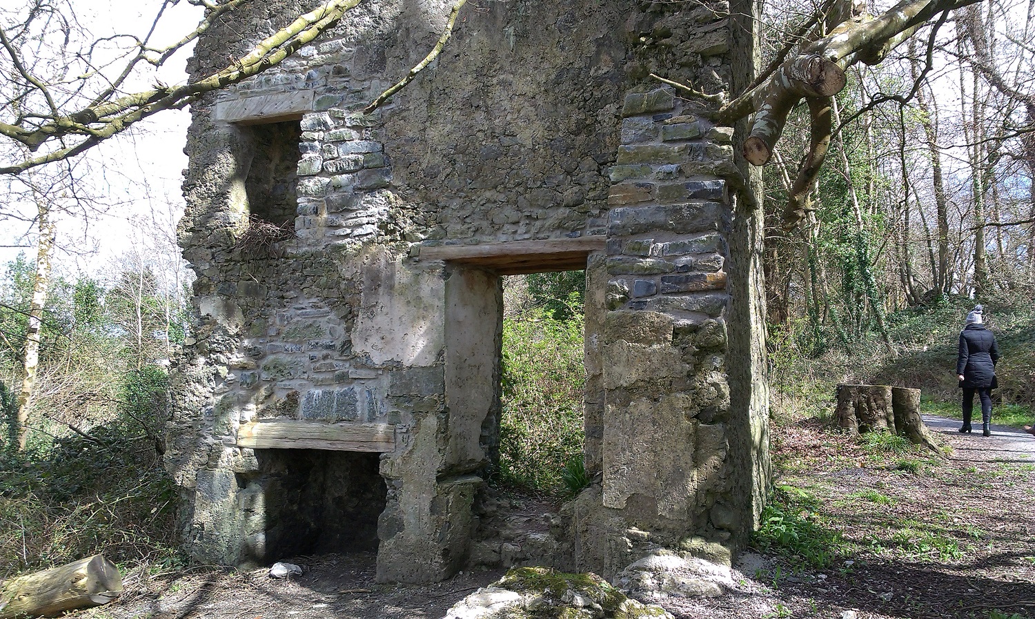
The gable end. The inside (W side).
There have been some repairs since 2013.
Photo 2016.
See larger
and full size.
See other shot.
See 2024 photo.

View up the chimney.
Photo 2013.
See larger
and full size.

The outside. (E side.)
Photo 2013.
See larger
and full size.
See other shot.
See 2016 shot.

Wonder if these marks on the chimney mean anything.
Photo 2013.
See full size.
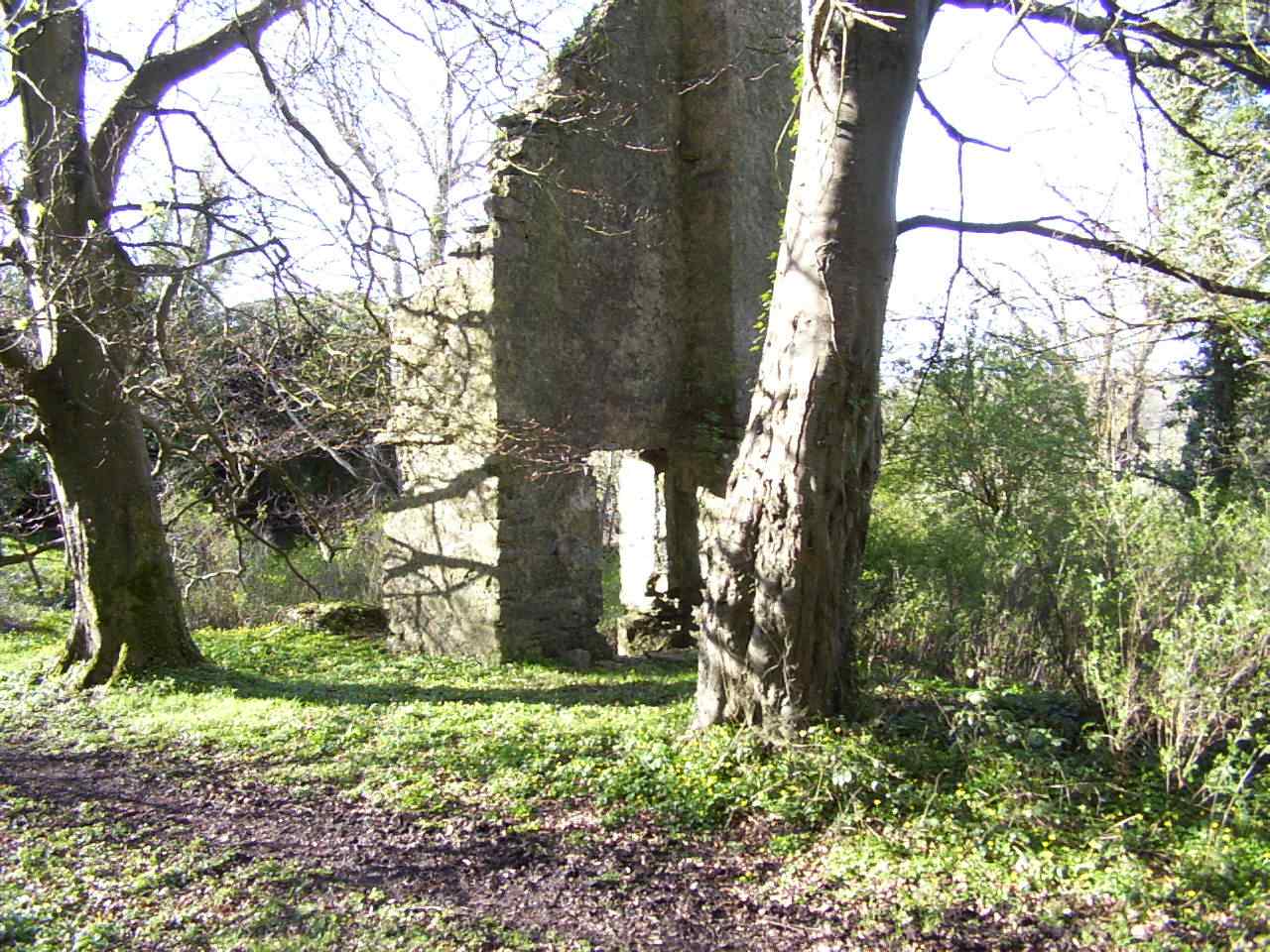
Photo 2004 by
Bill Jehan,
before the path was restored.
See full size
and hi-res.
See top of chimney.
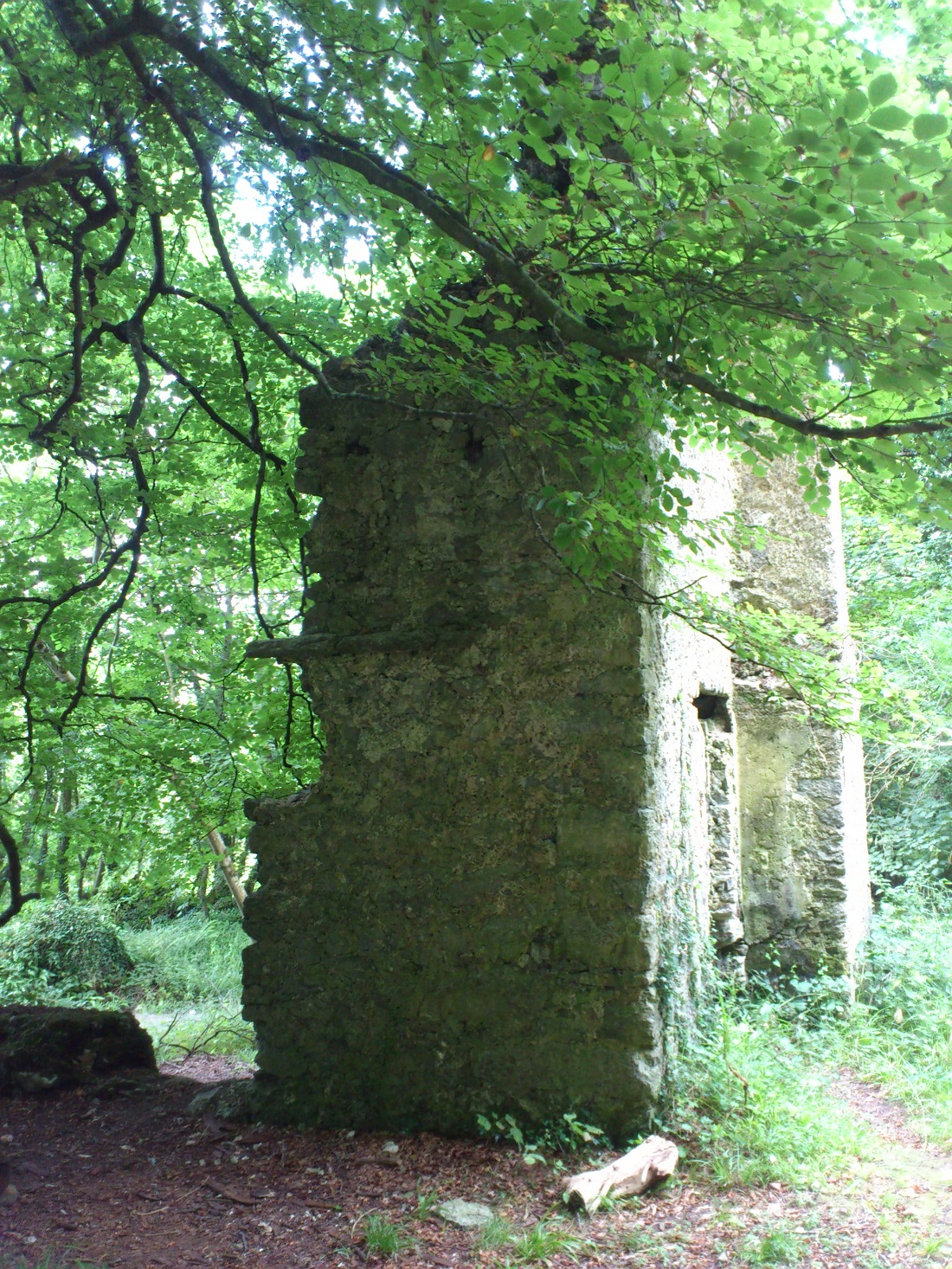
The side.
Photo 2013.
See larger
and full size.
See other shot.
The walls of the two ruins ("folly" and gable end)
do approximately line up.
One problem with the theory is that there is ground excavated between them, with a big slope.
There could not have been a house across this slope.
The creation of the slope could have happened since the house was abandoned though,
for some reason, perhaps to do with access to the mill,
and this would explain
why the middle of the house has been removed.

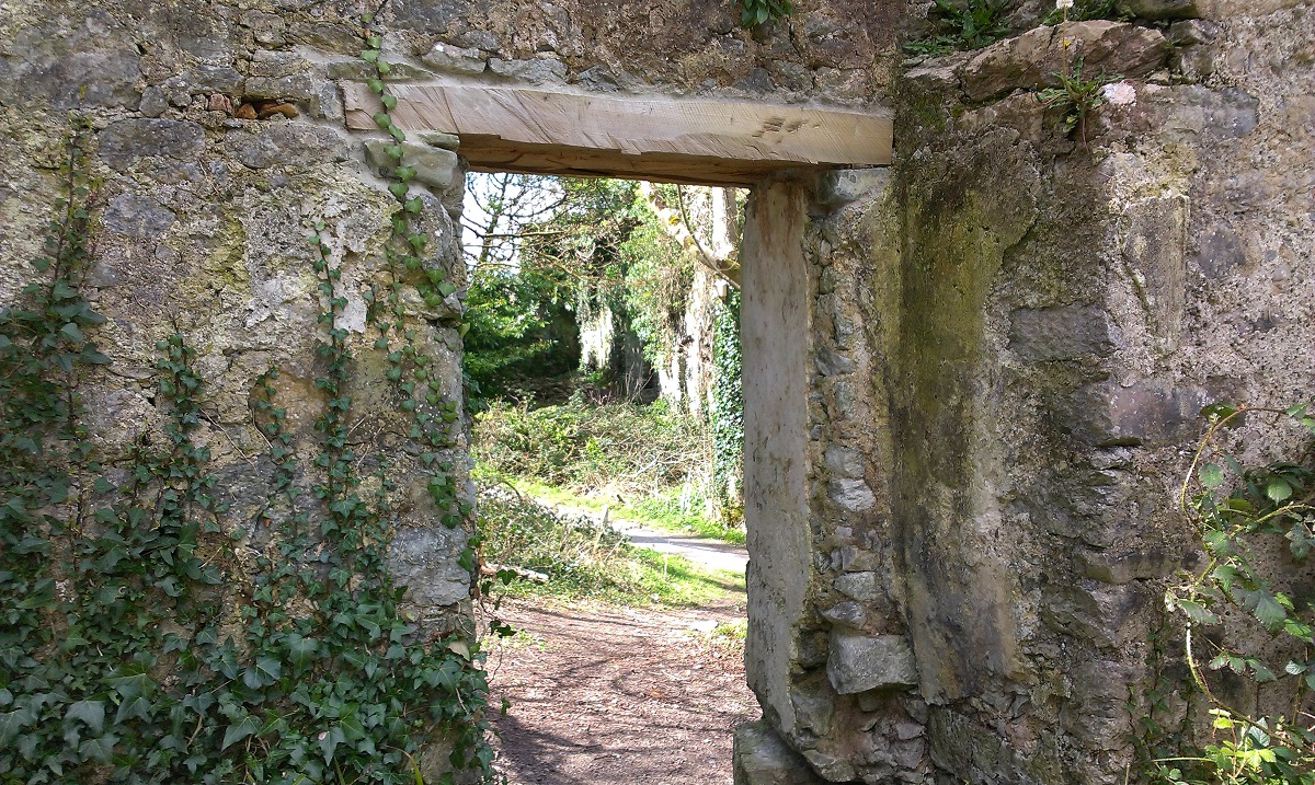
View through the door of the gable end looking W towards the "folly".
Shows that the two ruins roughly line up.
The "folly" must be just the W end of the house.
Photo 2016.
See larger
and full size.
See wider view.
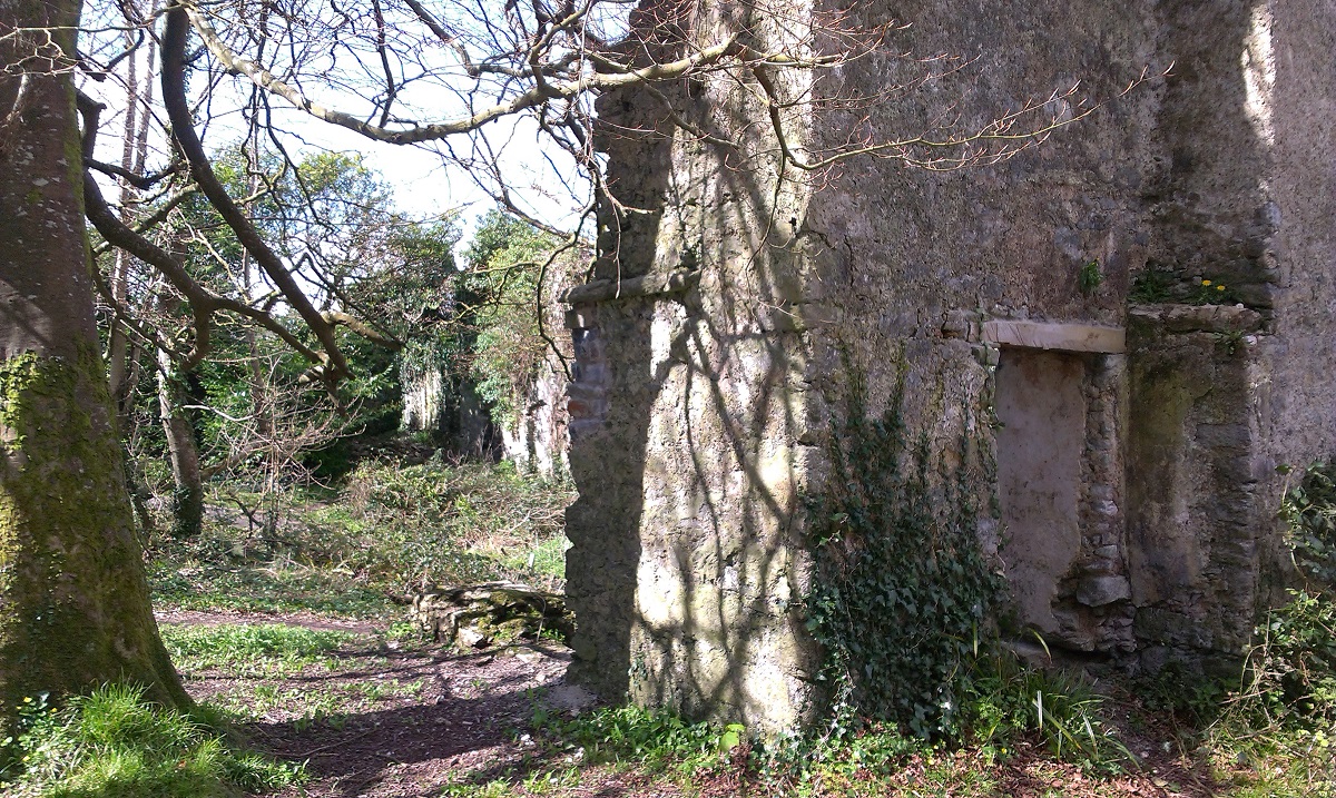
The "folly" (LHS) and the gable end (RHS).
They clearly line up.
Photo 2016.
See larger
and full size.
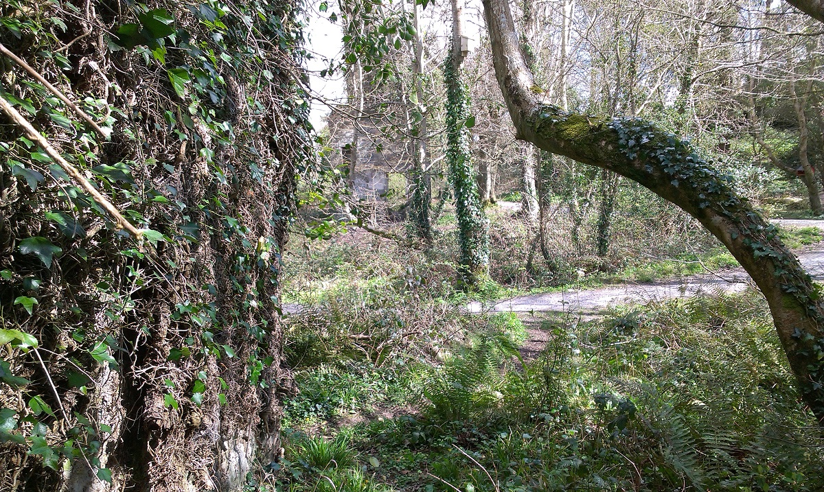
View along the N wall of the "folly" looking E towards the gable end.
They clearly line up.
Photo 2016.
See larger
and full size.
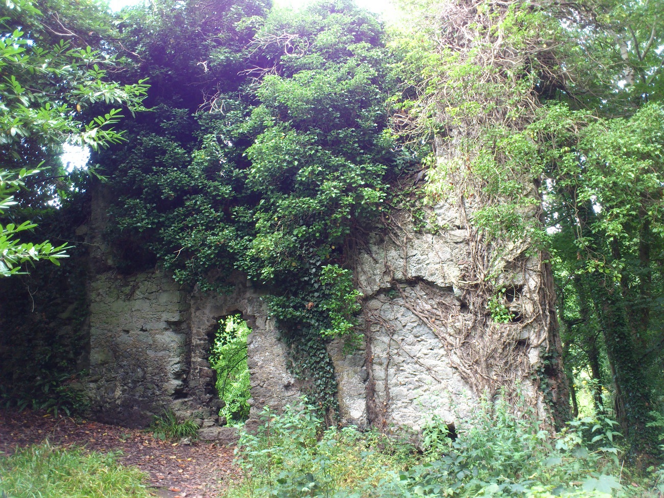
The N wall of the "folly".
Photo 2013.
See larger
and full size.
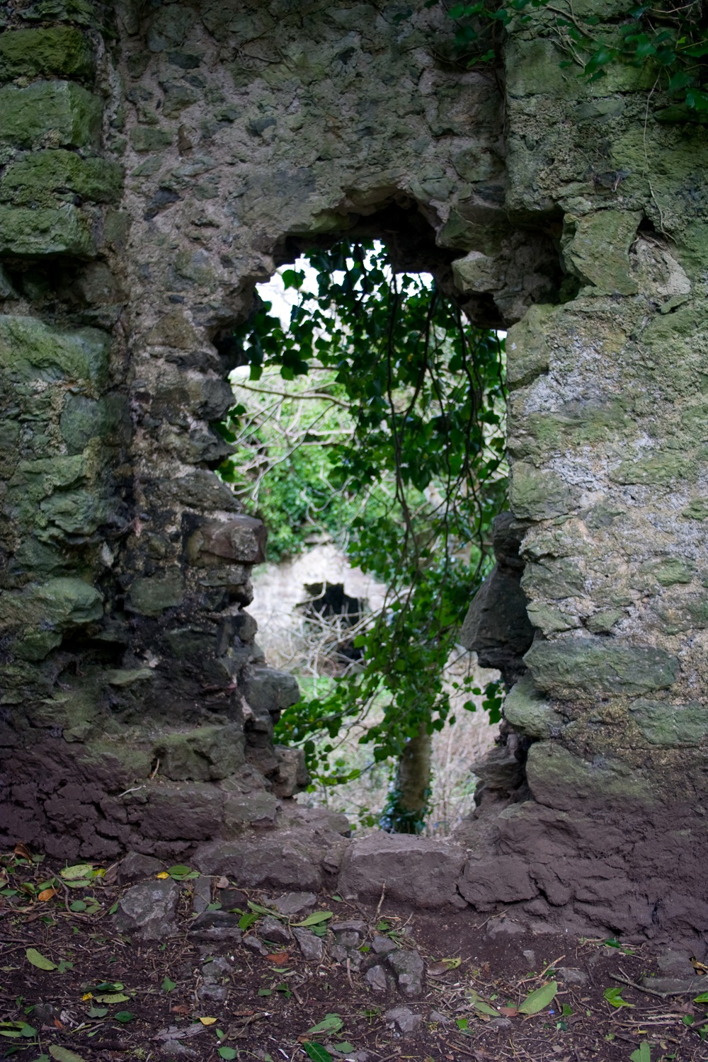
View through the hole.
In the background is the outbuilding to the N.
Photo 2004 by
Bill Jehan.
See larger
and full size.
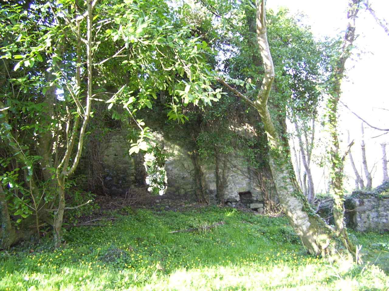
The N wall.
Photo 2004 by
Bill Jehan.
See full size
and hi-res.

The N wall.
Photo 2004 by
Bill Jehan.
Light adjusted.
See larger
and full size
and original.
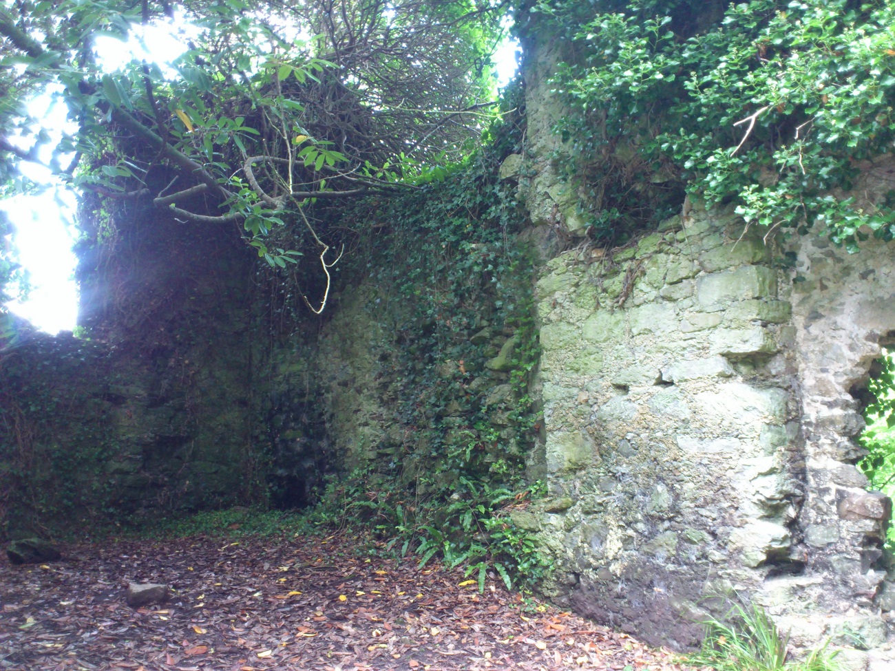
View from inside.
The NW corner.
Photo 2013.
See larger
and full size.
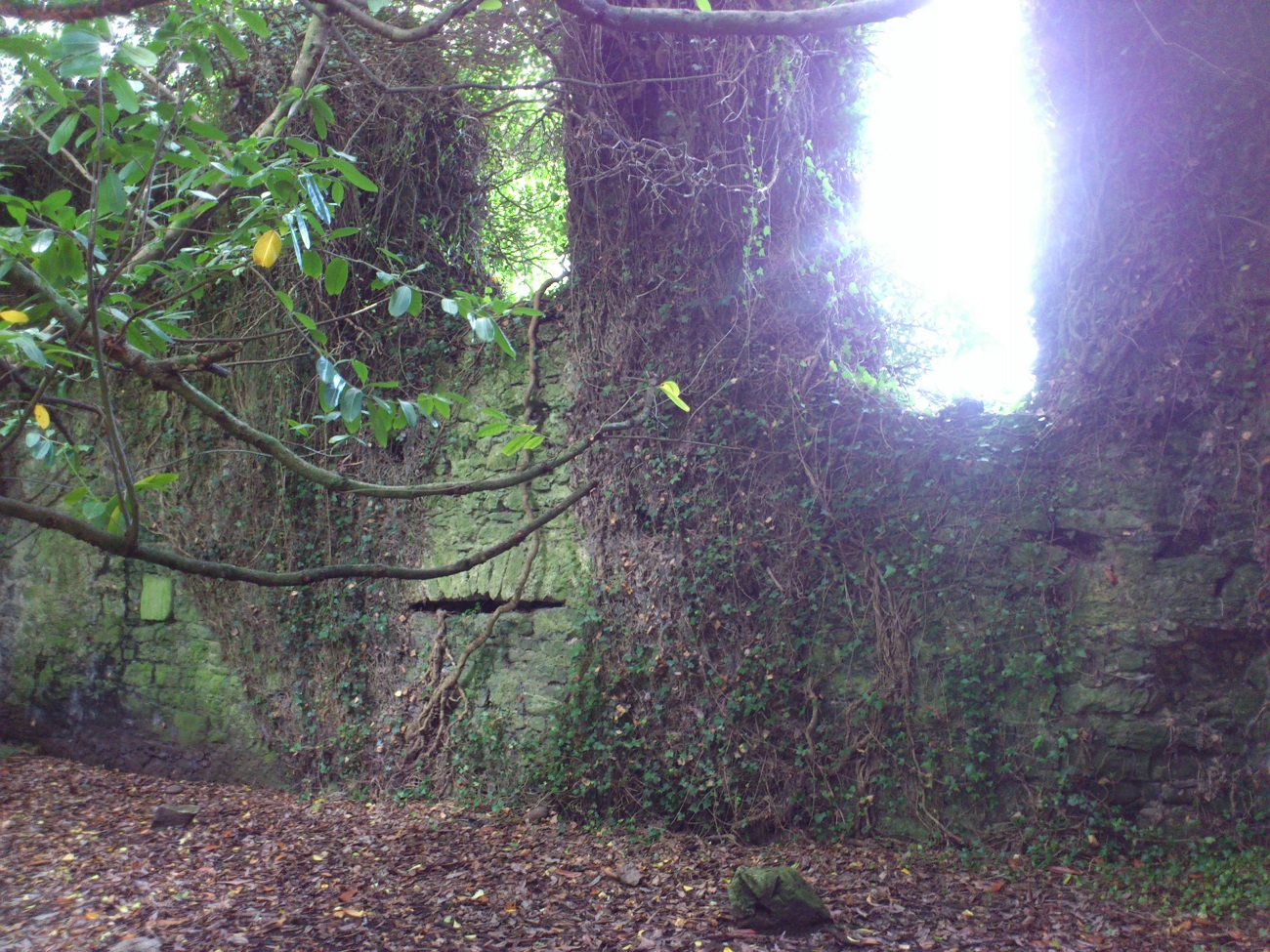
The W wall.
Photo 2013.
See larger
and full size.
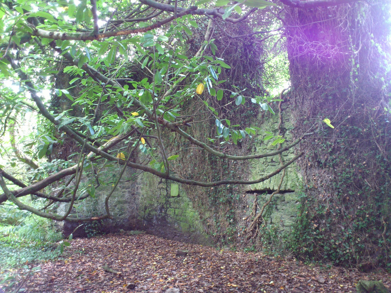
The SW corner.
Photo 2013.
See larger
and full size.
See other shot.
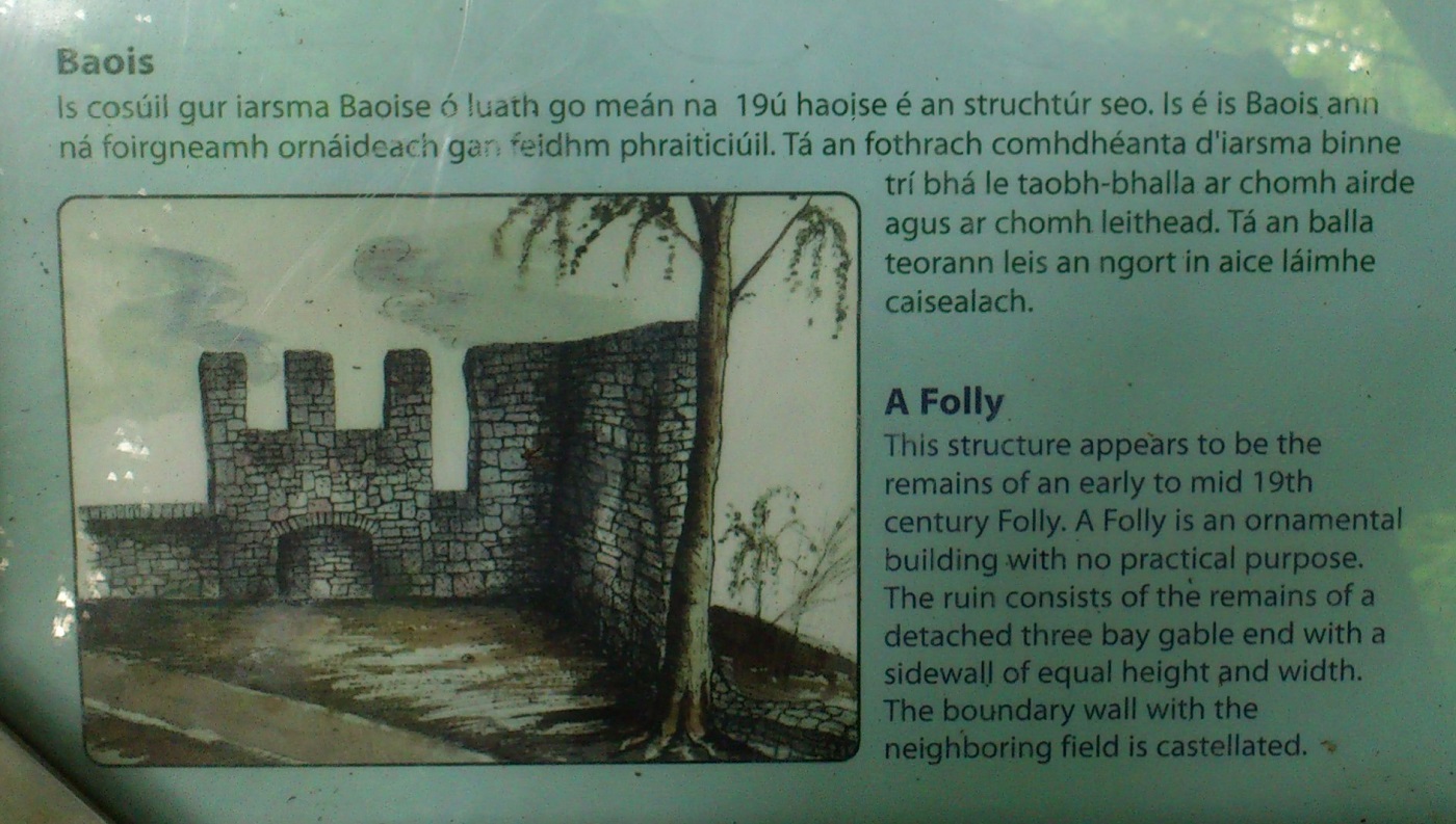
The sign says this building is a folly, but as discussed, this seems unlikely.
N wall to the right.
W wall straight ahead.
Photo 2013.
See larger
and full size.
Video 2016 starting with the N wall of the "folly",
and rotating round to see the gable end to the E.
Please donate to support this site.
I have spent a great deal of time and money on this research.
Research involves travel and many expenses.
Some research "things to do"
are not done for years, because I do not have the money to do them.
Please Donate Here
to support the ongoing research and
to keep this website free.