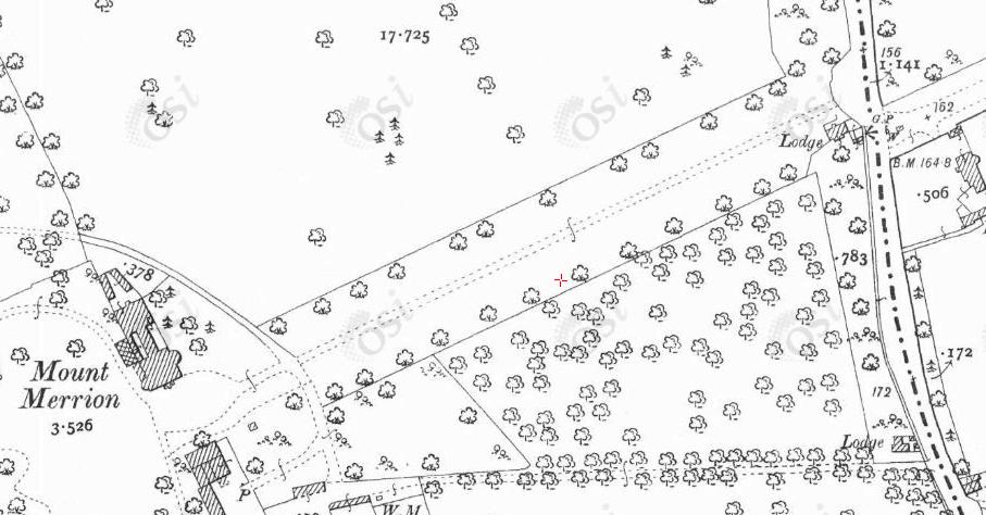
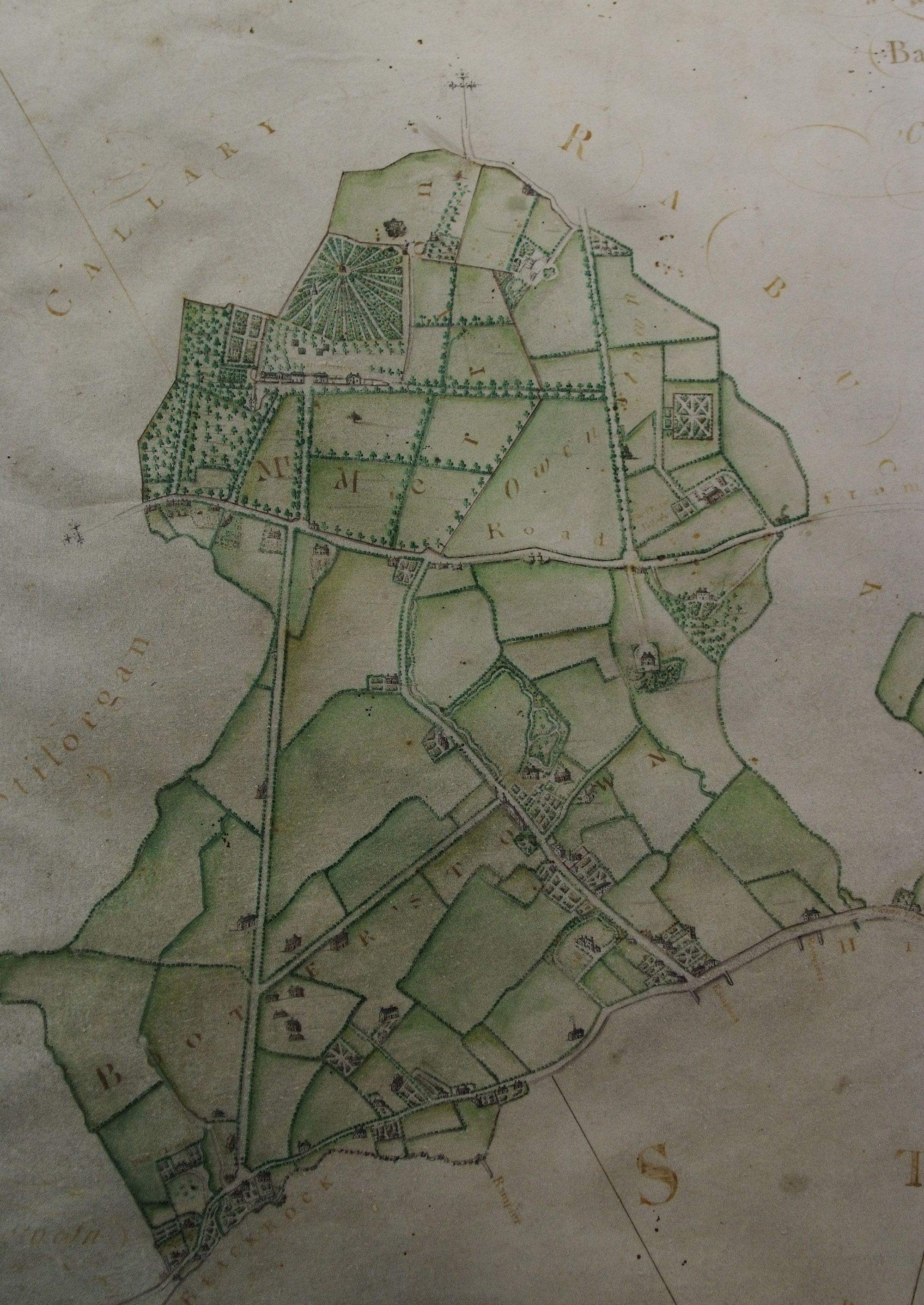
"Mount Merrion, the Irish seat of the Earl of Pembroke and Montgomery, can compare in the beauty of its demesne with many of the great places in England, and has few rivals in Ireland. Entering by the high gates on the road from Dublin to Stillorgan, which face the broad avenue from Blackrock, a straight drive with wide borders of closely cut grass, and rows of lofty elms on either side, leads to the house, which is covered with creepers." [Ball, vol.2, 1903]
"A double avenue of beech trees shades the roadway which runs, straight as a rule, for a full quarter of a mile to the entrance gates on the Stillorgan road. This roadway, whose immaculate pebbled surface was raked daily, had a broad border of century old shaven turf, the pride of the Scottish gardener" [Wilkinson, 1925].
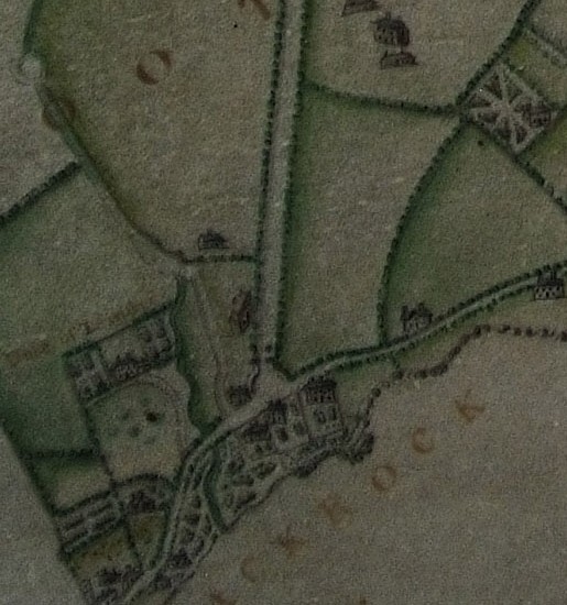
The old E Avenue (now "Sycamore Crescent")
leading up to Mount Merrion House.
Click to rotate and move.
From
Google Street View.
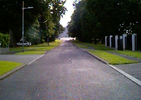
The old E Avenue (now "Sycamore Crescent")
leading up to Mount Merrion House.
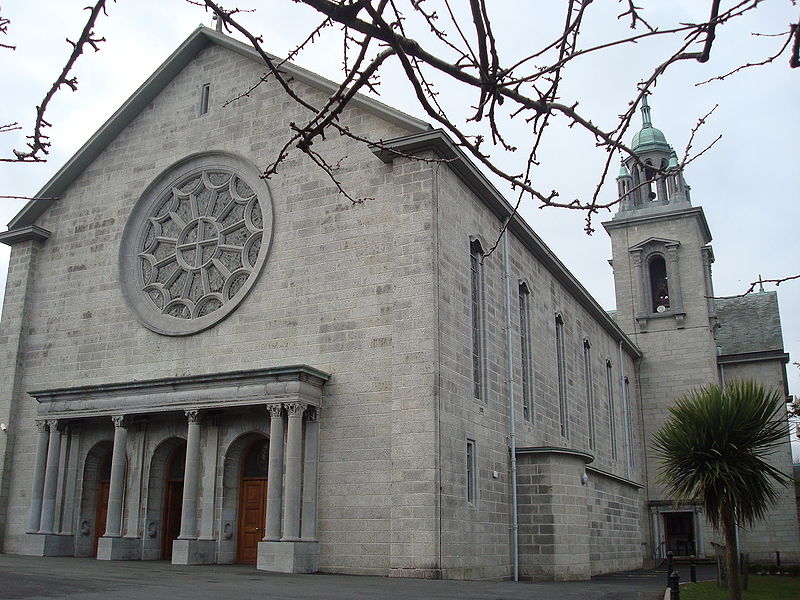
In 1956 a grand Catholic church almost symbolically displaced the old Anglo-Irish house
at the top.
The new church is not actually built on the site of any of the old buildings though,
and 2 blocks survive up there
beside the church.
Photo 2012.
See full size
and other shot.
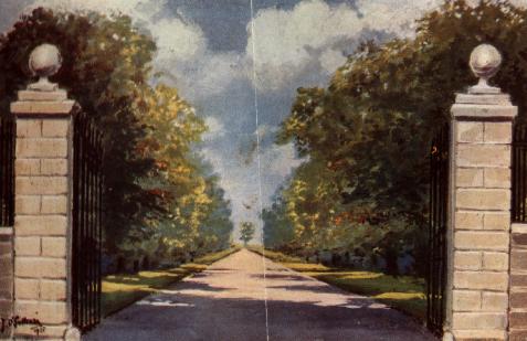
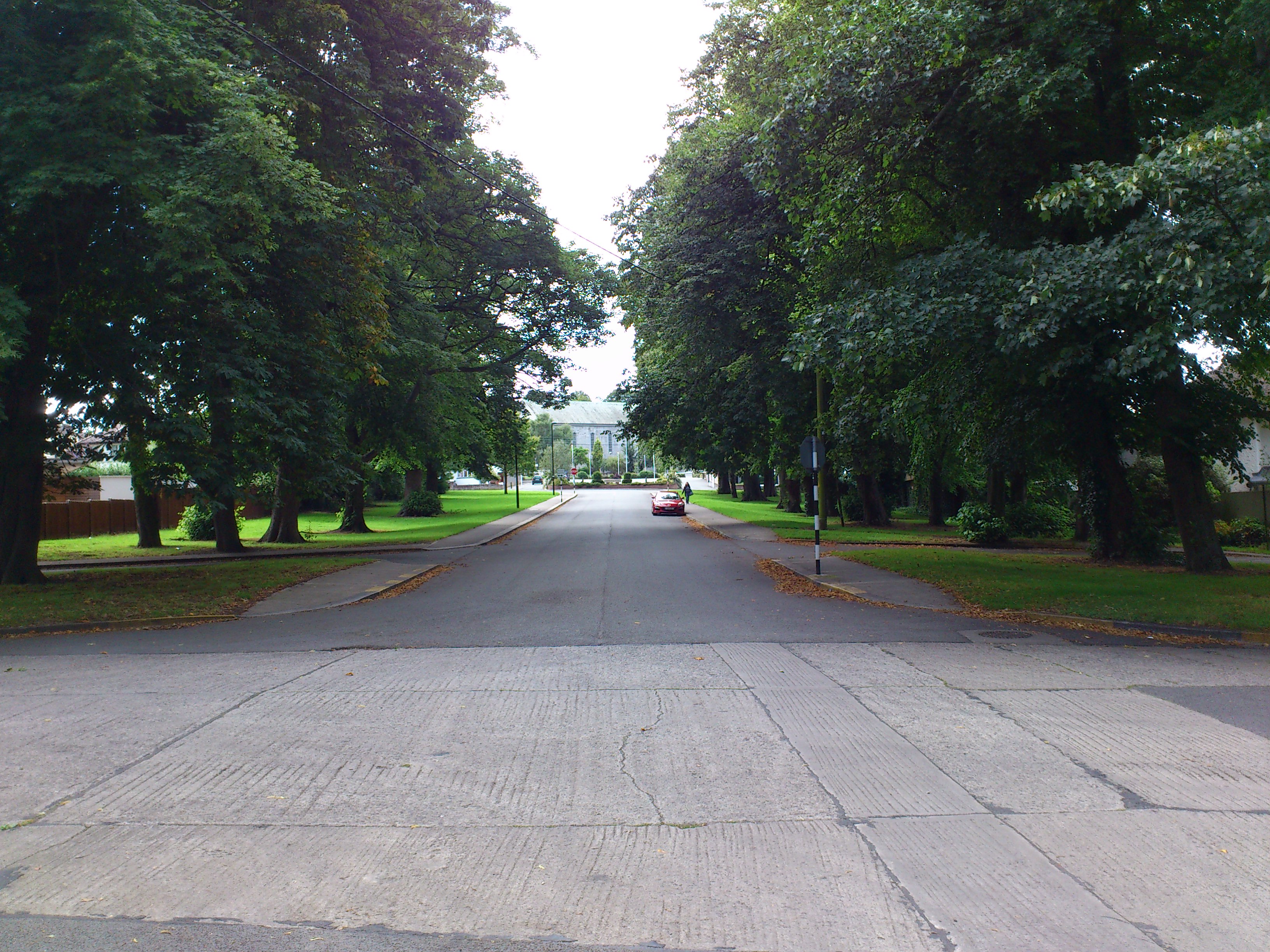
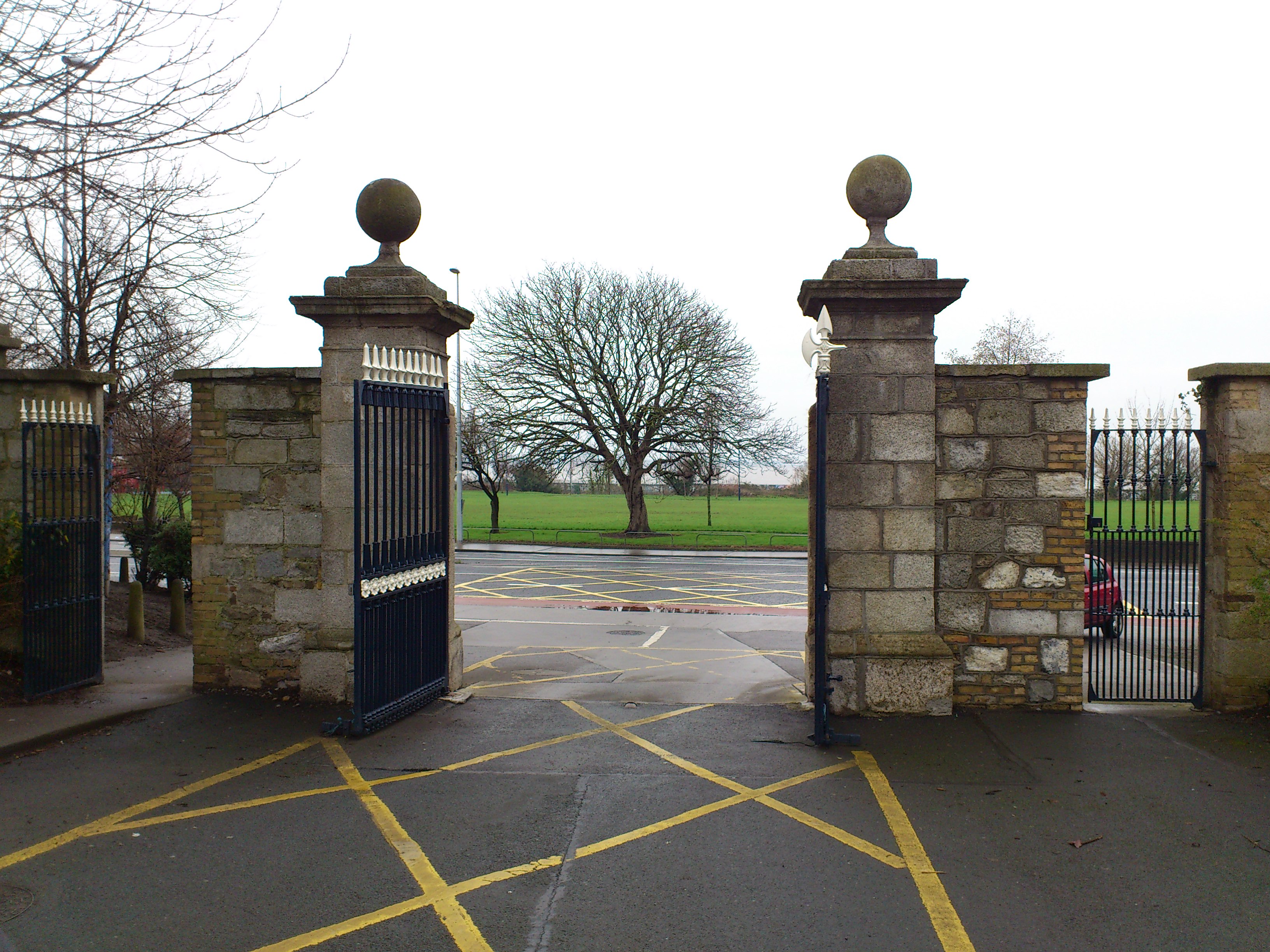
The old E Avenue.
Photo 1999.
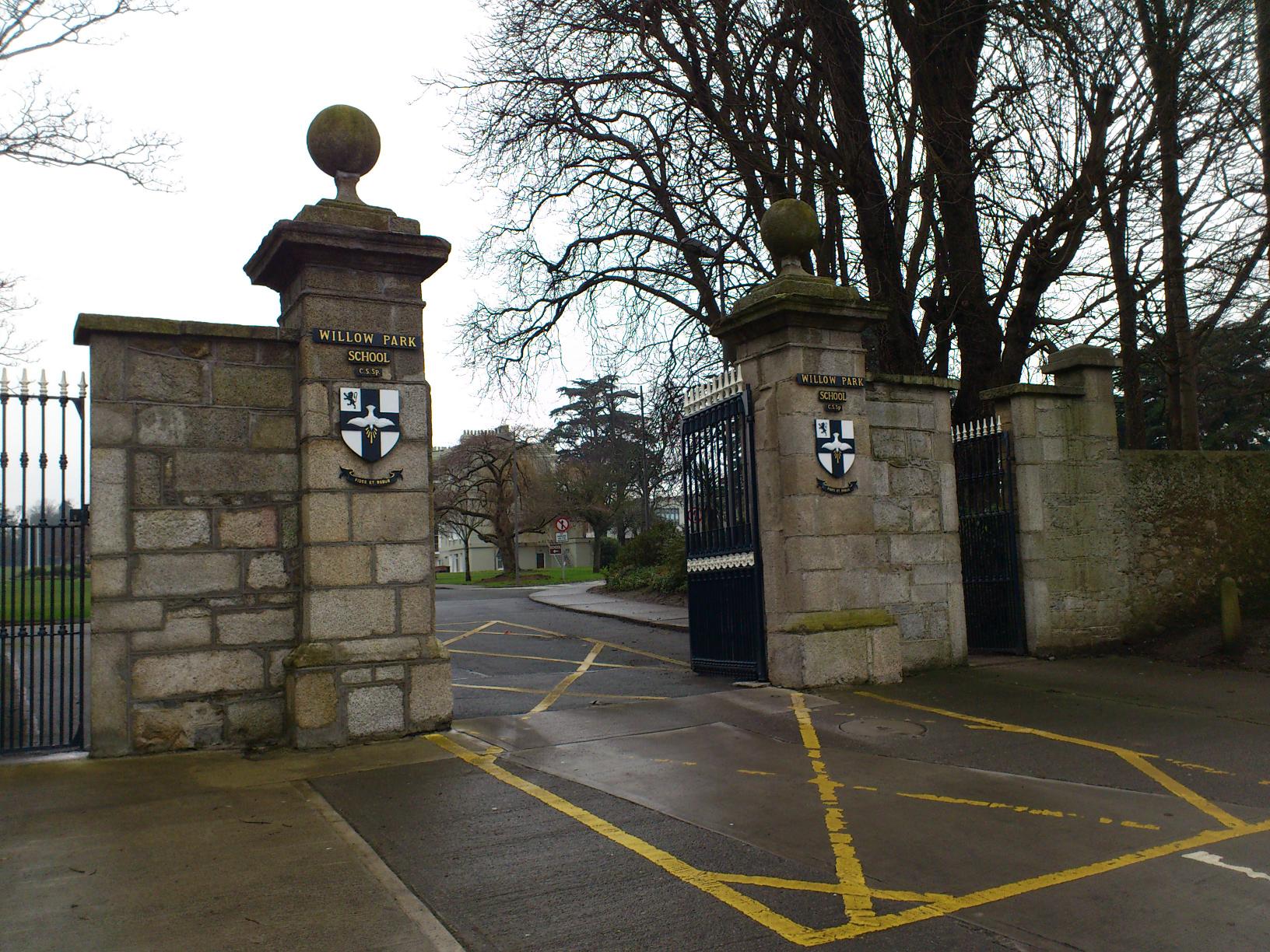

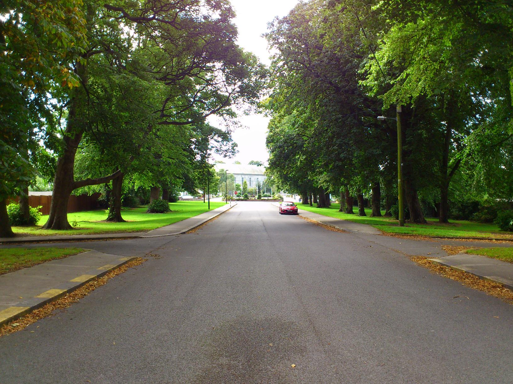
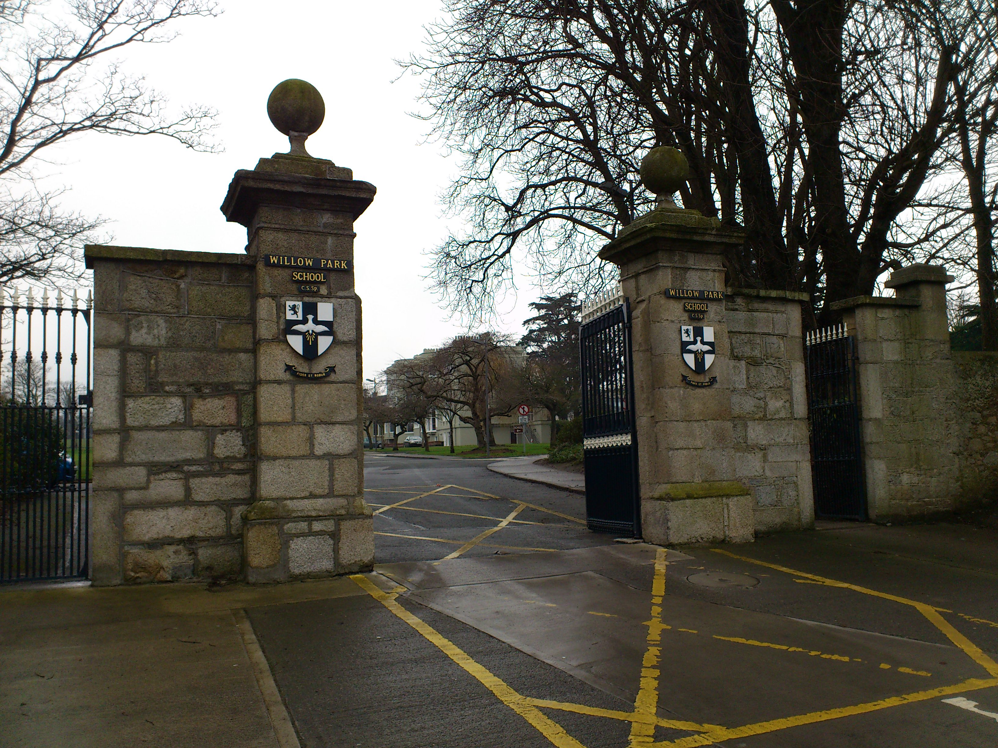
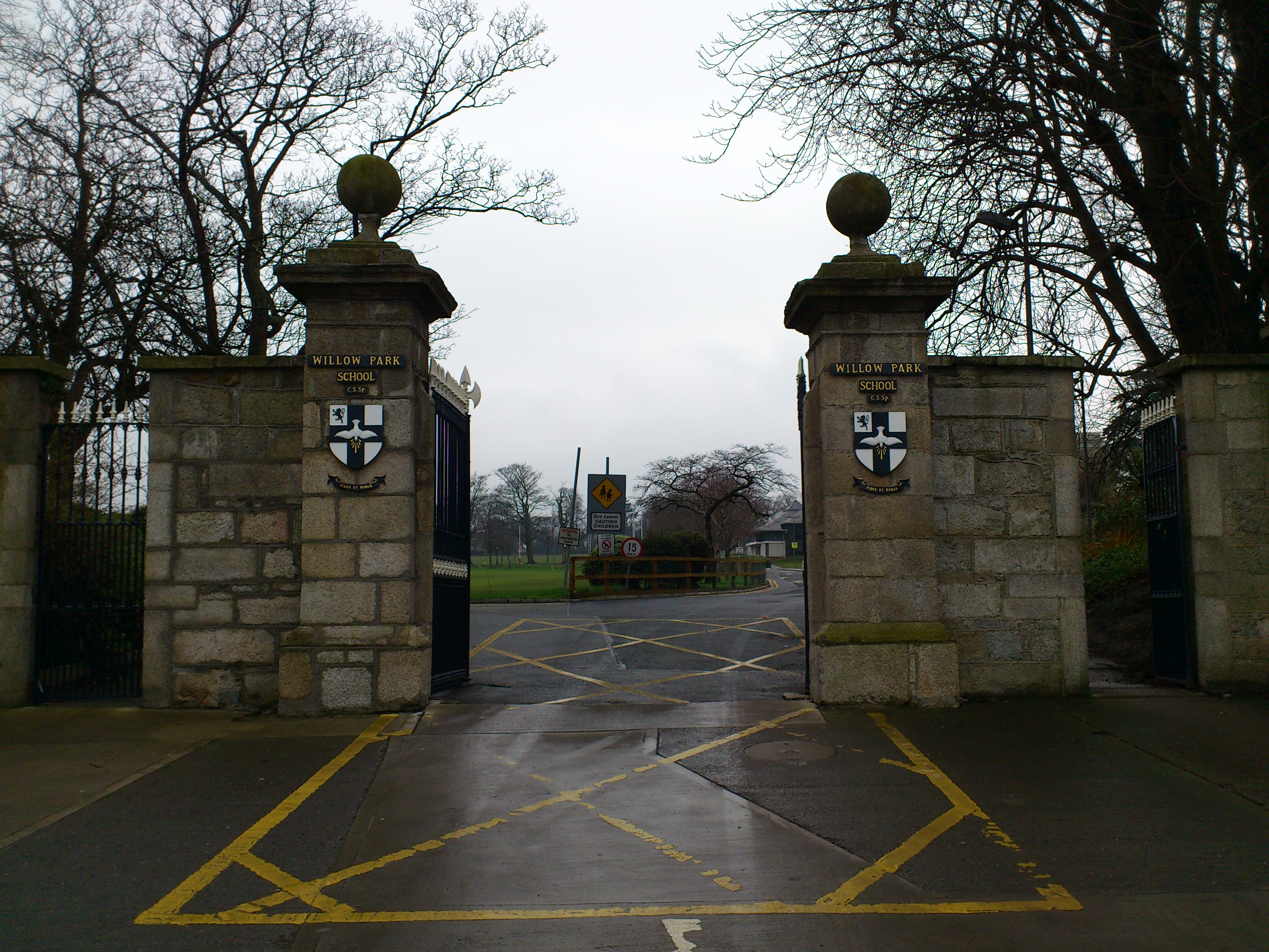
View from Willow Park looking out.
Photo 2013.
See full size
and other shot.
Return to
Mount Merrion House.
Please donate to support this site.
I have spent a great deal of time and money on this research.
Research involves travel and many expenses.
Some research "things to do"
are not done for years, because I do not have the money to do them.
Please Donate Here
to support the ongoing research and
to keep this website free.
