
The Deer Park at Mount Merrion was landscaped by the 6th Viscount.

Mount Merrion House.
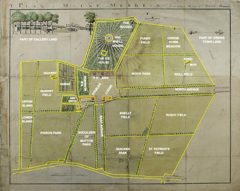
Detail of Pat Roe's map of 1774.
In the deer park we see the 'Shell House' (where paths converge).
Below it to the left is the 'Obelisk' (which survived until 1960).
See full map.
From Mount Merrion 300.
Used with permission.

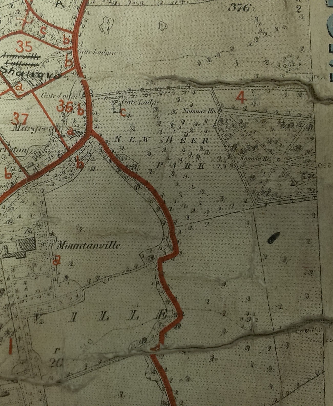
Deerpark on
1829 to 1842 map.
Visible is the octagonal Summer House in the woods ("The Shell House").
Note the woods here come right up to Mount Merrion House.
On earlier and later maps
there is a lawn between the woods and the house.
It may be that this map is inaccurate here.
Some of the paths in the park could be over 200 years old.
W end of Deerpark on map in
[VO]
of unclear date.
See full size.
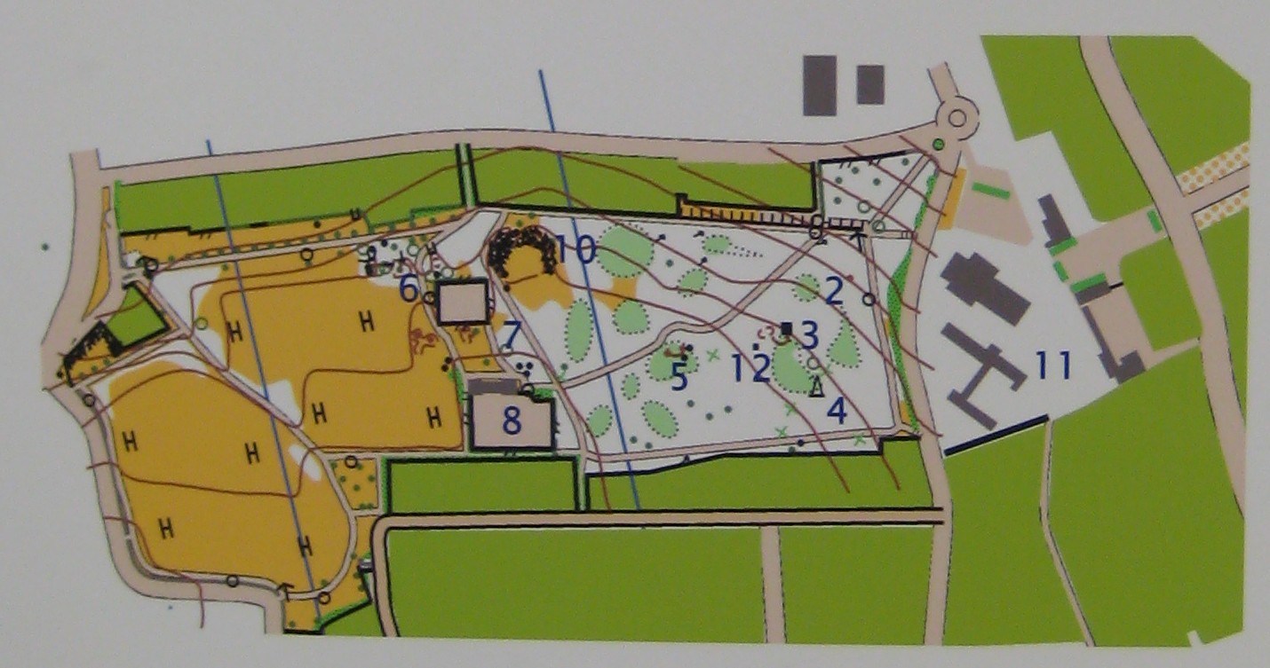
Photo of
Mount Merrion 300 exhibition
map of park.
2 - Tunnel.
3 - Ice house.
4 - Obelisk.
5 - Shell house.
6 - Rocks drawn by William Ashford.
7 - Water tank.
8 - Tennis courts.
10 - Tallest tree.
11 - Tree outside church.
12 - Water pipe.
Pillar from the Shell House, Deer Park.
From Mount Merrion 300.
Used with permission.

Site of the ice house, Deer Park.
From Mount Merrion 300.
Used with permission.
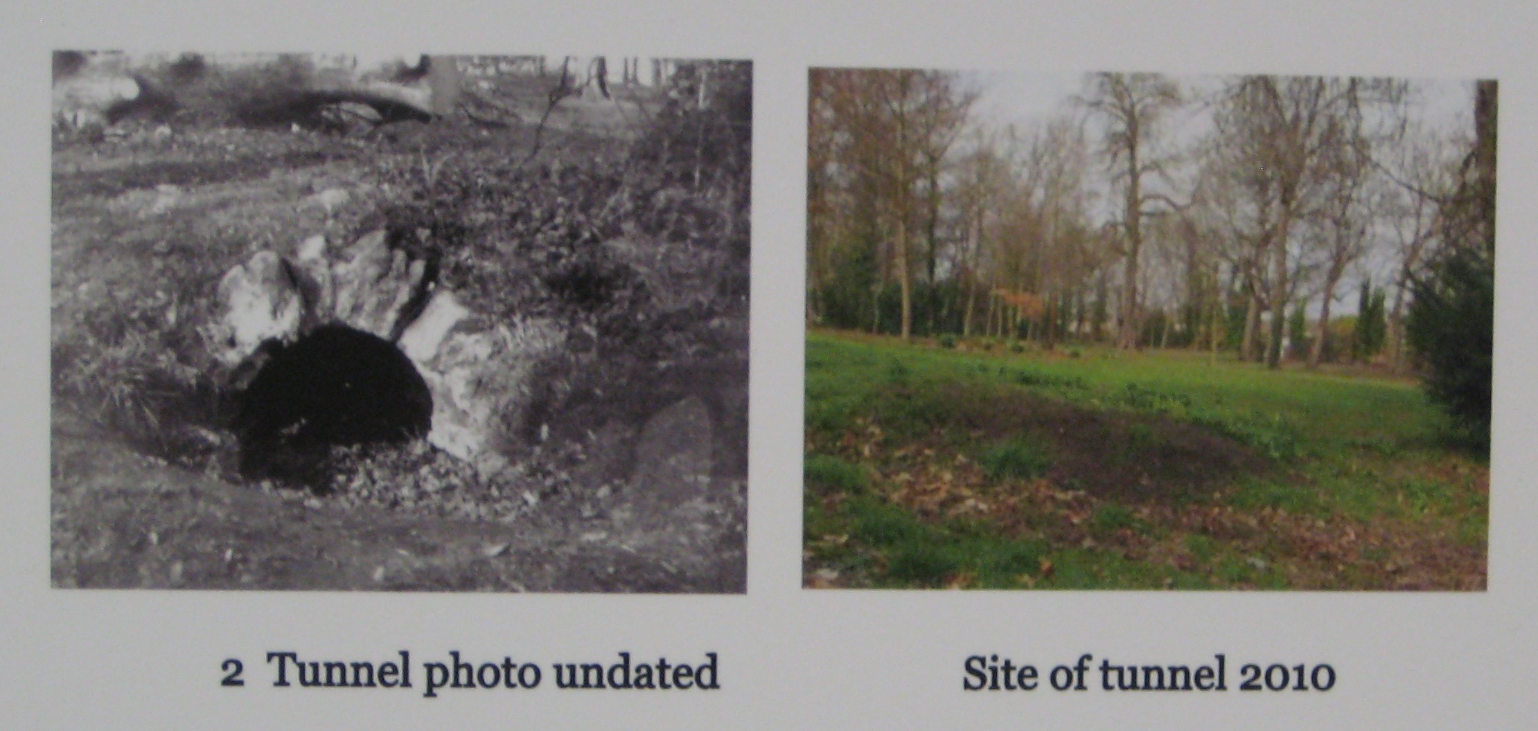
Mount Merrion 300 exhibition has this as site of tunnel.

Foundations of water tank, Deer Park.
From Mount Merrion 300.
Used with permission.
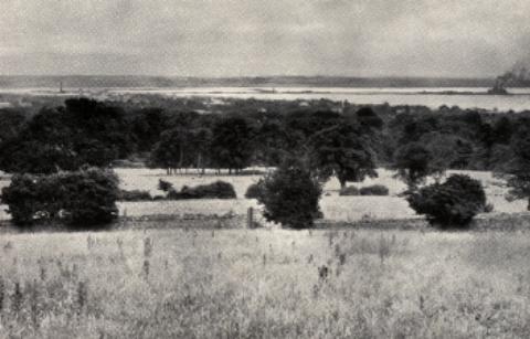
Dublin Bay from the Deer Park.
From [Mount Merrion Estates, 1925-26].
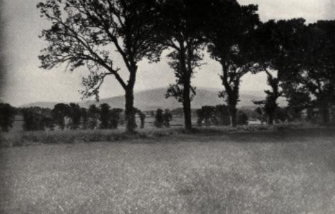
The Three Rock Mountain
from the Deer Park.
From [Mount Merrion Estates, 1925-26].
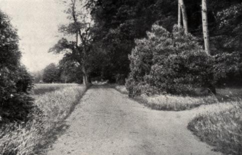
"Entrance to the Rock Garden".
From [Mount Merrion Estates, 1925-26].
Deer Park, Mount Merrion.
From here.
Uploaded 2007.
Please donate to support this site.
I have spent a great deal of time and money on this research.
Research involves travel and many expenses.
Some research "things to do"
are not done for years, because I do not have the money to do them.
Please Donate Here
to support the ongoing research and
to keep this website free.