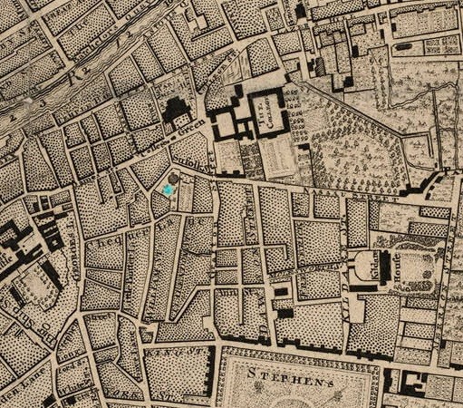

St.Andrew's church on
hand-coloured
John Rocque map of Dublin, 1756.
On the E side of it is the
Earl of Kildare's old town house.

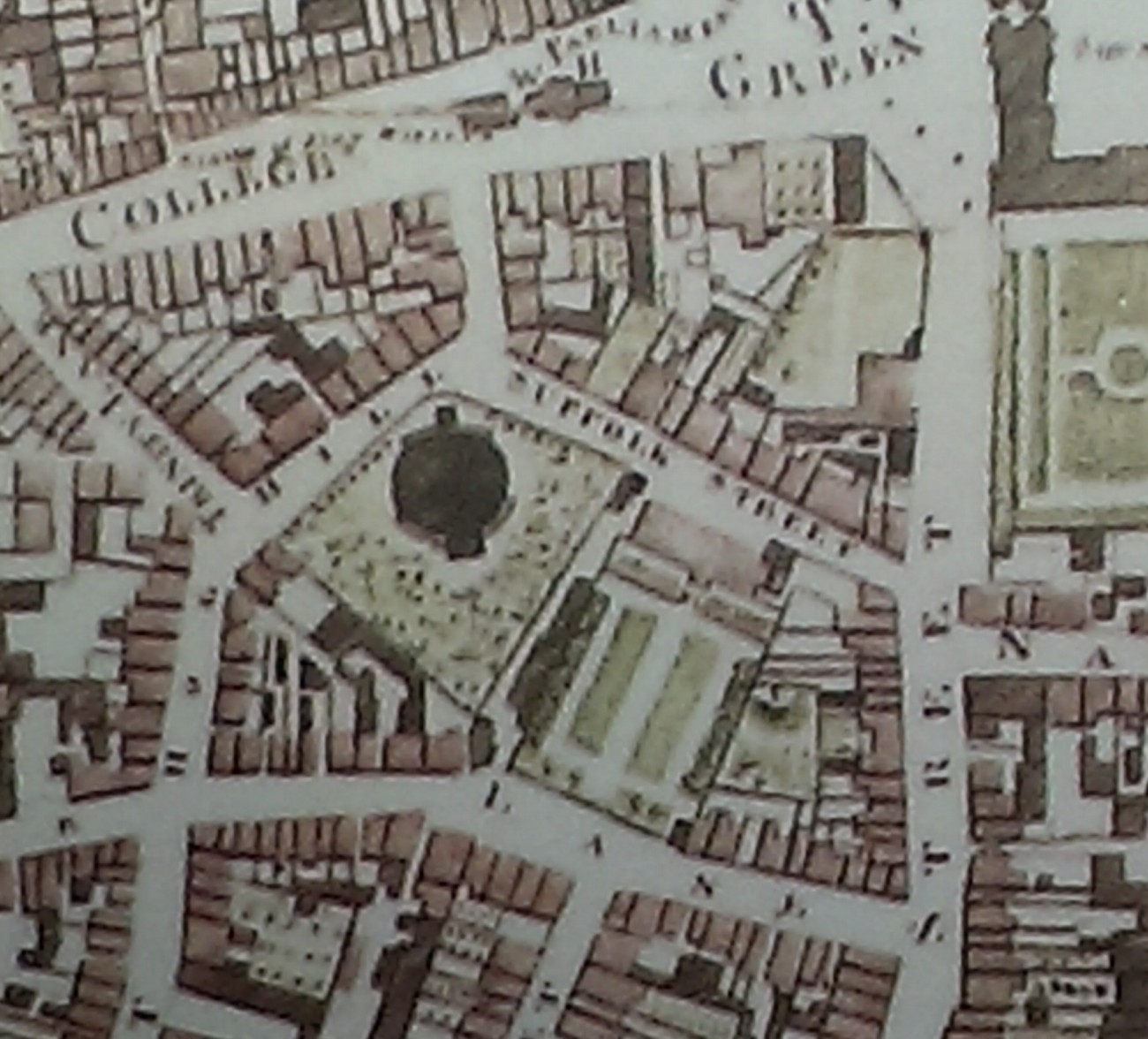
St. Andrew's Church on
Ordnance Survey of Ireland map.
Date created: 1838.
Date modified: 1847.
From here.
It burnt down 1860,
replaced by a new church on same site.
The new church is
now a tourist office.
Please donate to support this site.
I have spent a great deal of time and money on this research.
Research involves travel and many expenses.
Some research "things to do"
are not done for years, because I do not have the money to do them.
Please Donate Here
to support the ongoing research and
to keep this website free.