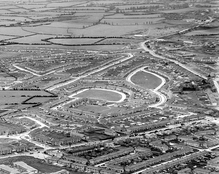

Aerial photo of Crumlin and
Walkinstown, 1952.
View from NE.
Walkinstown House is centre top, surrounded by trees, on a road full of new houses.
From
The Old Drone: Norman Ashe Aerial Photographic Collection.
See full size.

Modern 3D view for comparison.
Walkinstown House site is now SuperValu.
From Google Maps.
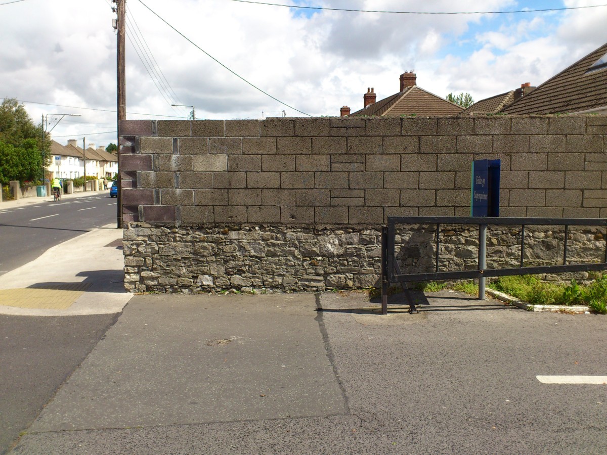
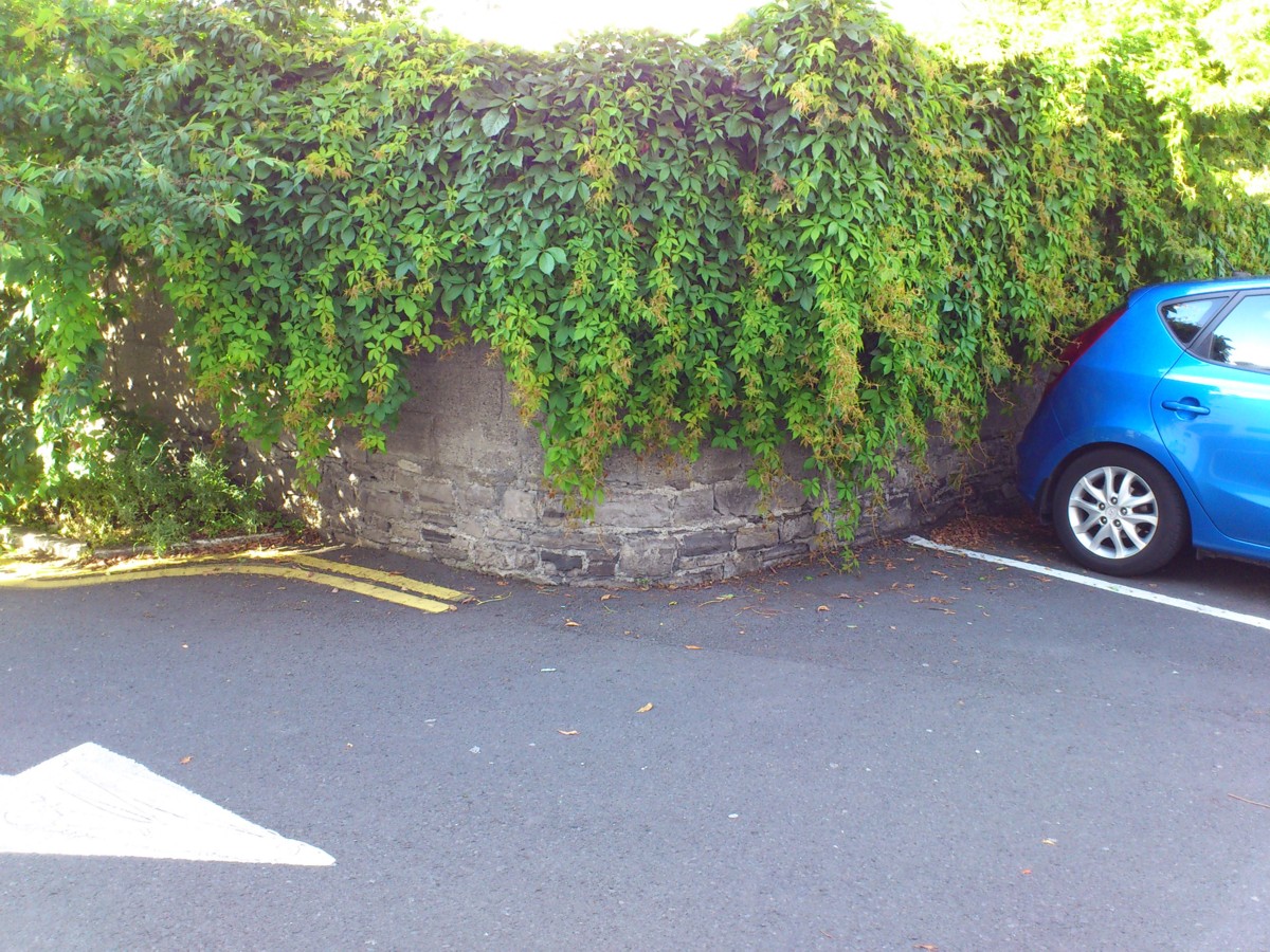
The old N wall, at the opening into the NE car park.
Photo 2012.
See full size.
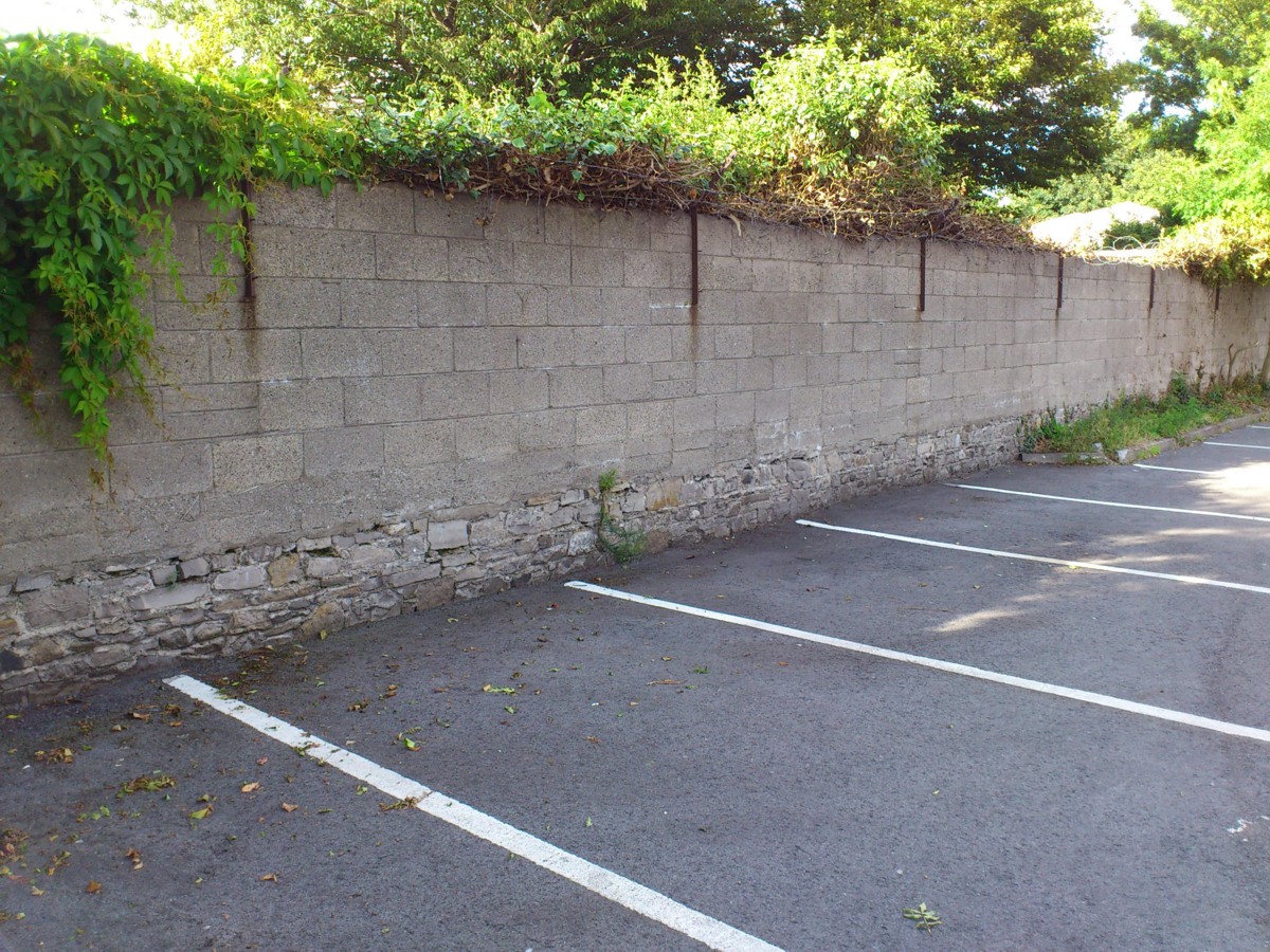
The old N wall, in the NE car park.
Photo 2012.
See full size.
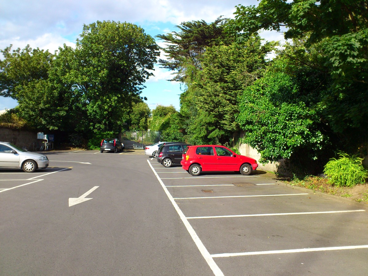
The NE car park.
This was
the paddock
to the NE of the house.
It still follows exactly the same shape.
View looking N.
The old trees survive at the edge.
Photo 2012.
See full size.
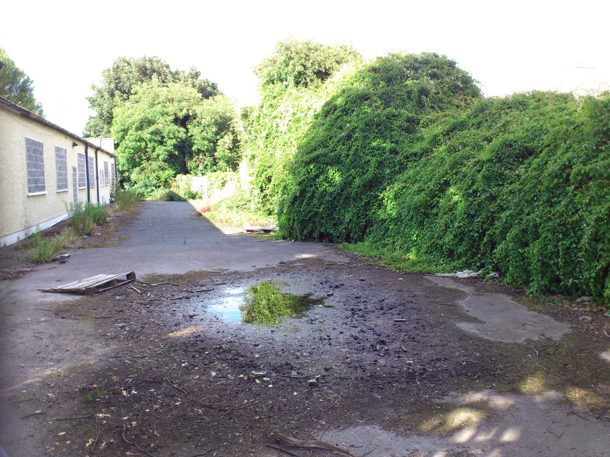
View at the top of the car park looking N (up the old main road into Wilkinstown).
Photo 2012.
See full size.
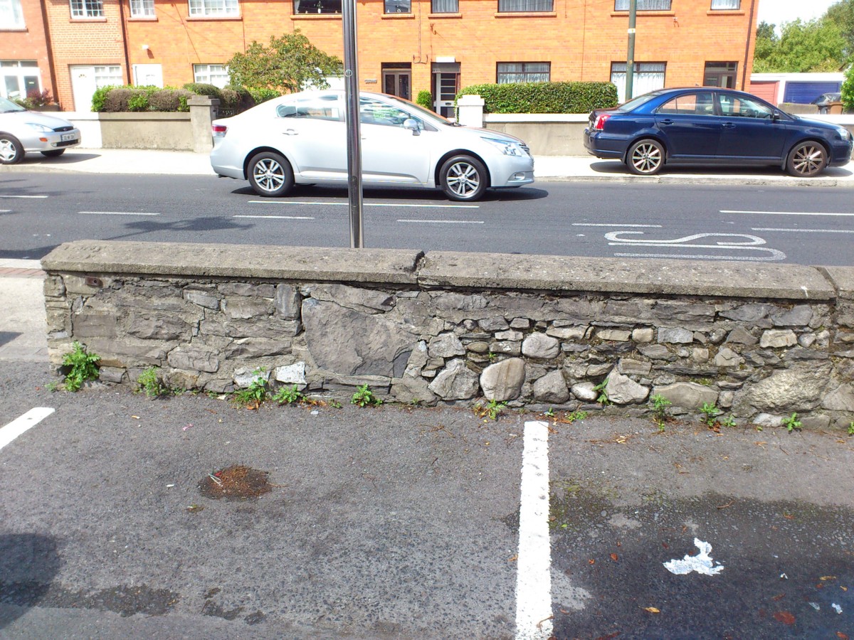
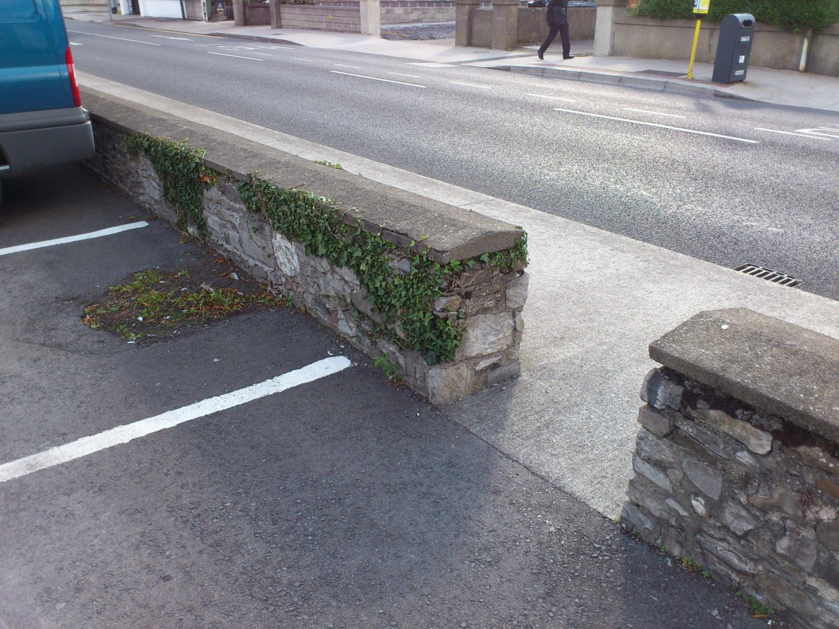
The front wall.
Photo 2012.
See full size
and other shot.
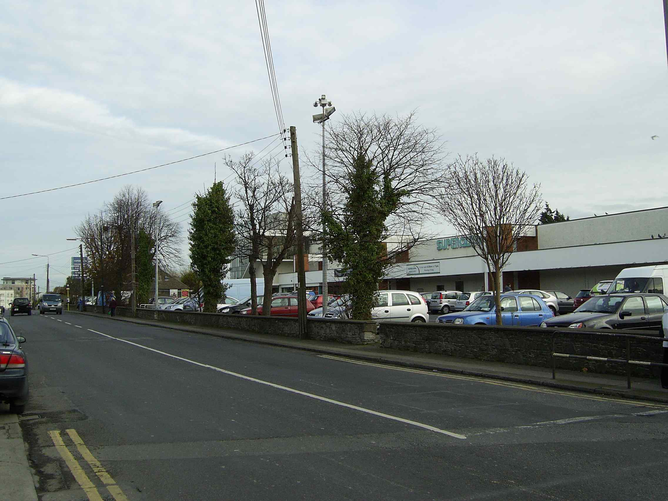
As well as part of the old wall, the old trees survive by Walkinstown Rd.
Behind them used to be the tennis court lawn, now the supermarket car park.
Photo 2007.
See full size.

From modern
street view.
Return to
Walkinstown House.
Please donate to support this site.
I have spent a great deal of time and money on this research.
Research involves travel and many expenses.
Some research "things to do"
are not done for years, because I do not have the money to do them.
Please Donate Here
to support the ongoing research and
to keep this website free.