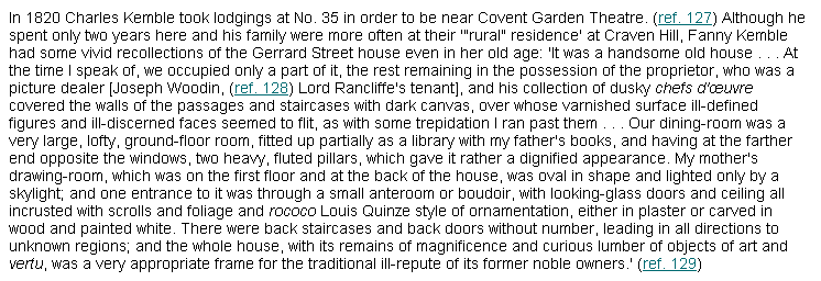
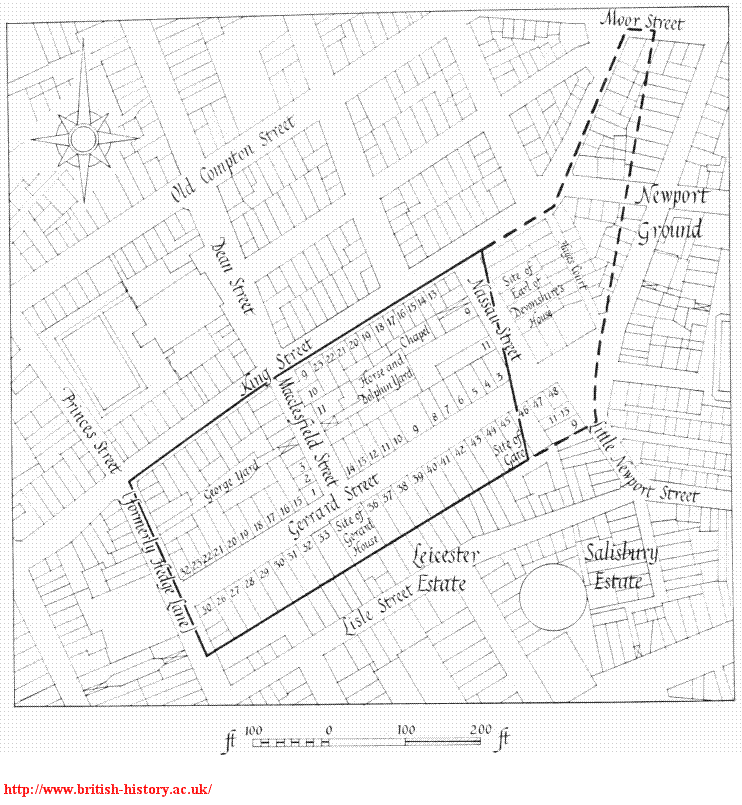
In 1661, Charles Gerard, 1st Earl of Macclesfield (not yet created Earl) first acquired The Military Ground in Soho, London.
Destruction, 1887:
Gerard House
was destroyed by fire in 1887.
The remains were demolished and a new building was erected on the site in 1889.
This itself was later demolished
and a large Post Office was built on the site in 1935-1937.
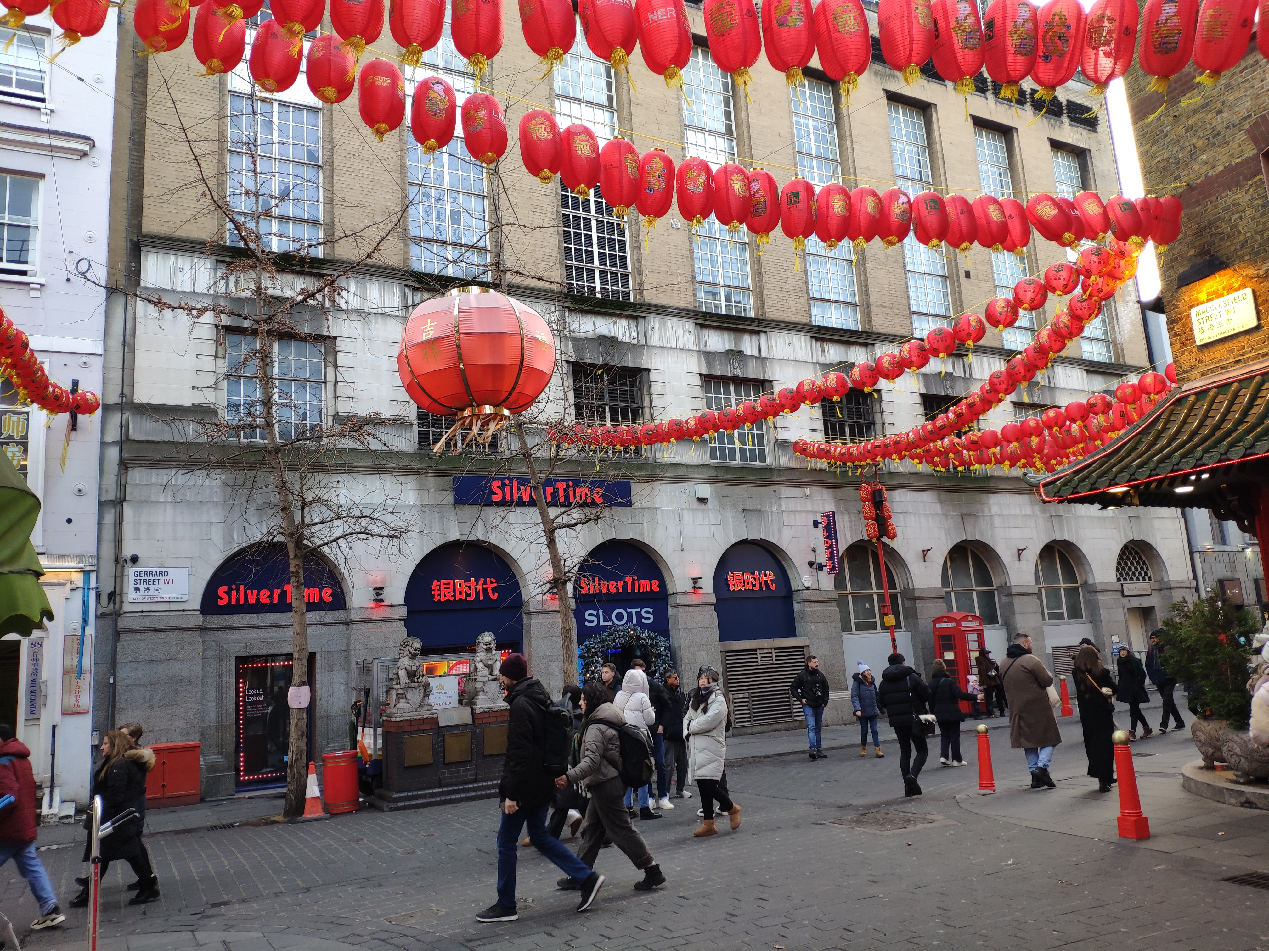
Gerrard Street
is now (since 1970s)
the centre of
Chinatown, Soho
(see
map).
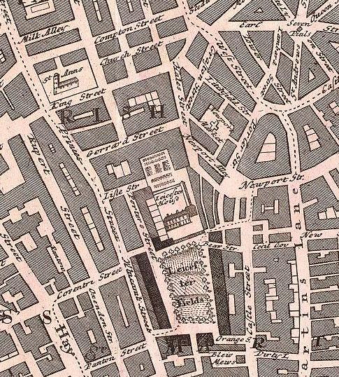
Gerrard St on
Homann Heirs' map of London, 1736.
The estate was to the N of
Leicester House.
The gardens of some of the houses on the S side of Gerrard St
were contiguous to the garden of Leicester House.
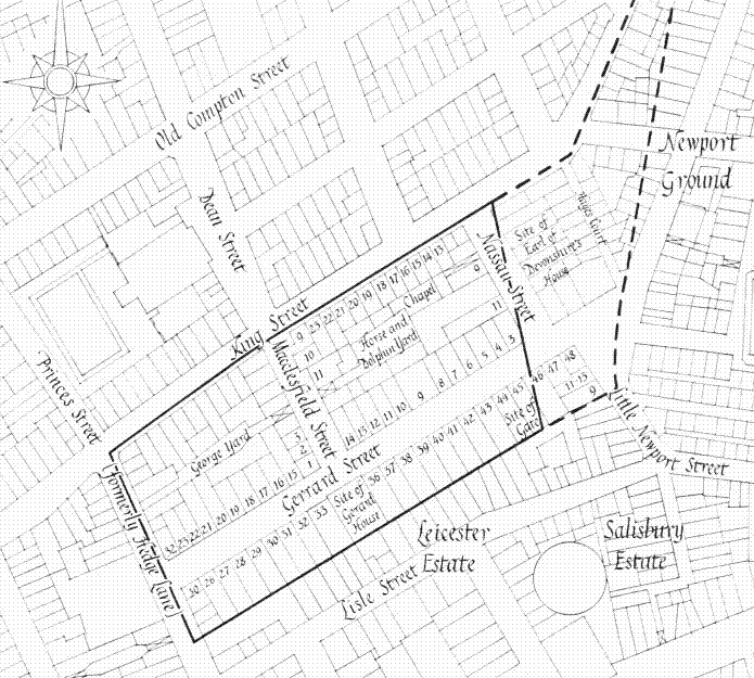
Gerrard St and Macclesfield St and the Gerard estate on map of 1746.
From
section 3
of Sheet B2
of
Rocque's Map of London, 1746.
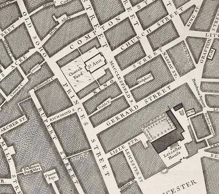
Gerrard St and Macclesfield St on map of 1792-99.
Gerard House is now divided in two.
The W part (number 3) is smaller.
The E part (number 4) is larger.
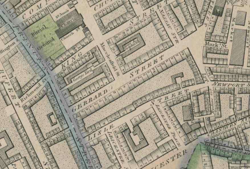
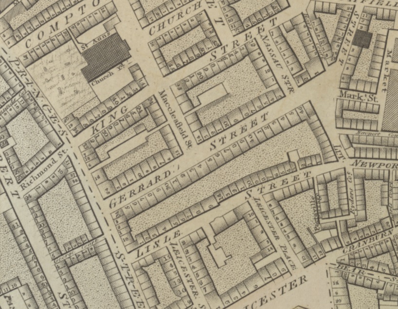
Gerrard St and Macclesfield St on map of 1819.
The former Post Office on the site of the vanished Gerard House.
Click to rotate.
From
street view.
See 2025 photo.
Please donate to support this site.
I have spent a great deal of time and money on this research.
Research involves travel and many expenses.
Some research "things to do"
are not done for years, because I do not have the money to do them.
Please Donate Here
to support the ongoing research and
to keep this website free.
