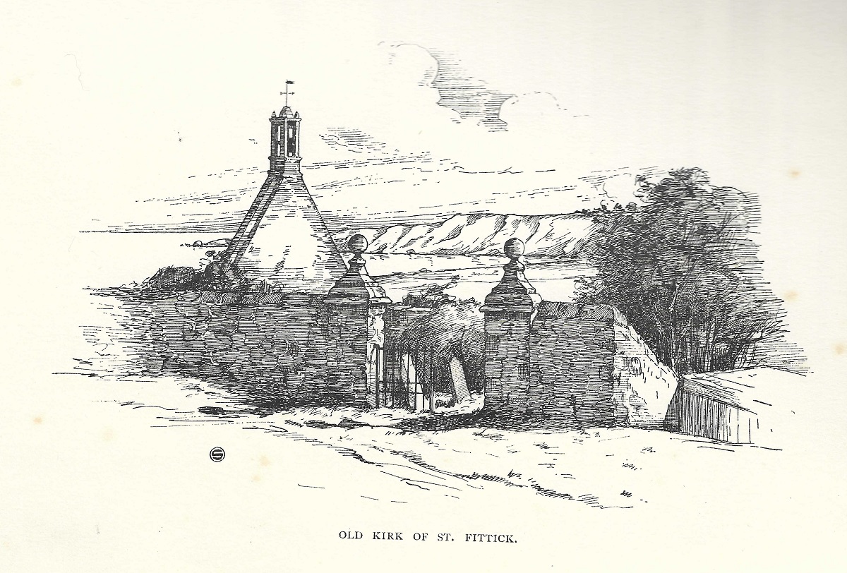
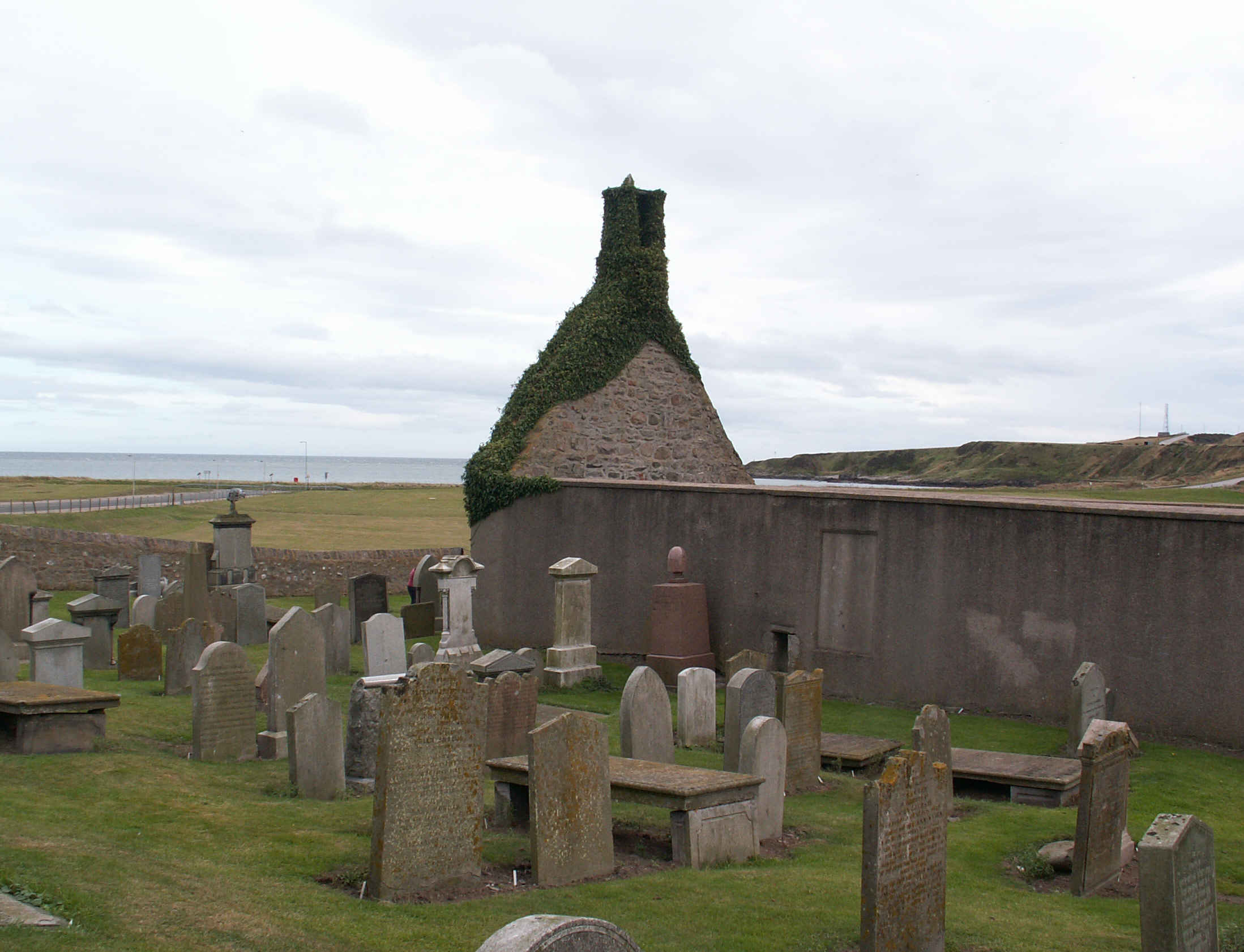
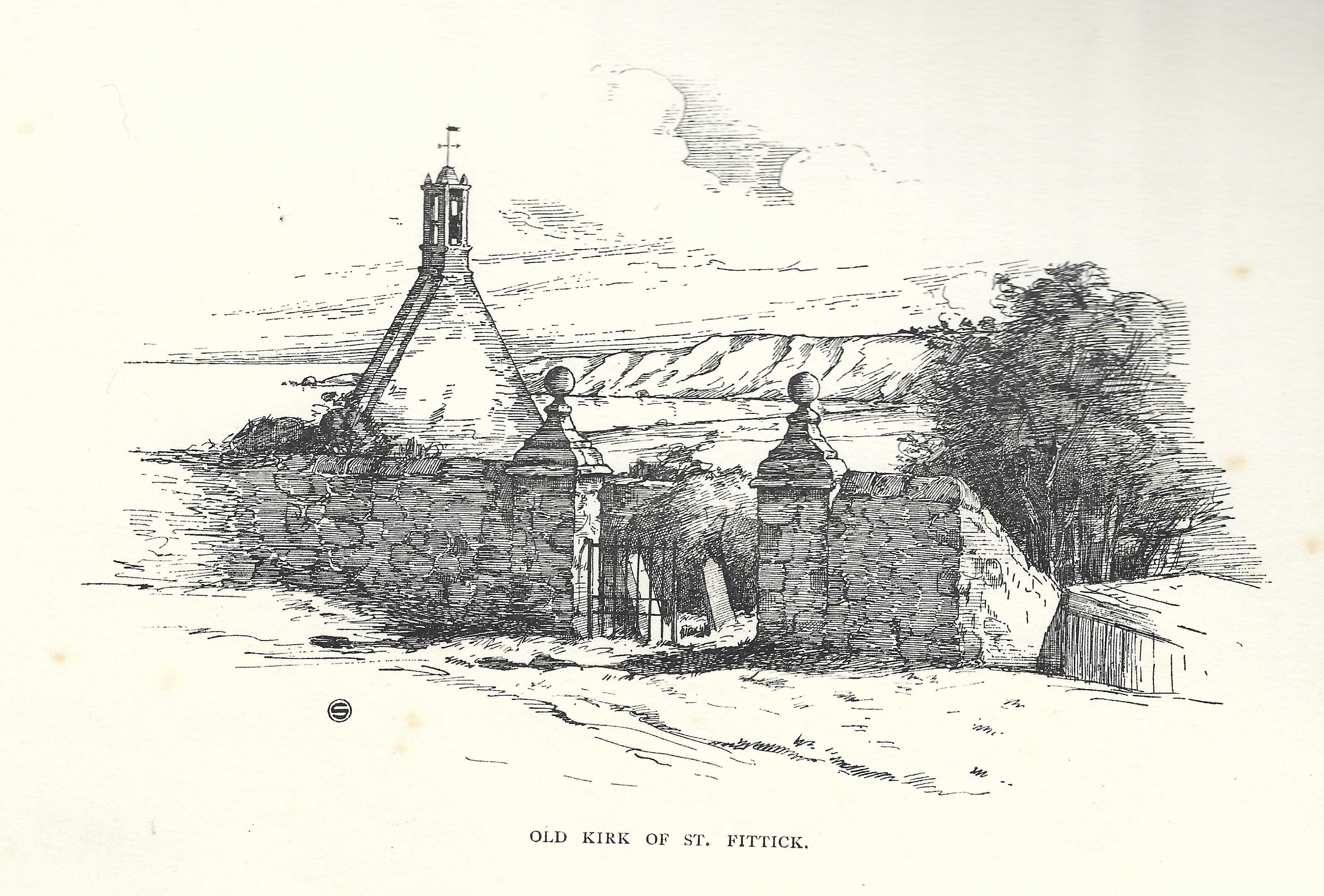
St.Fittick's church dates from the 12th century.
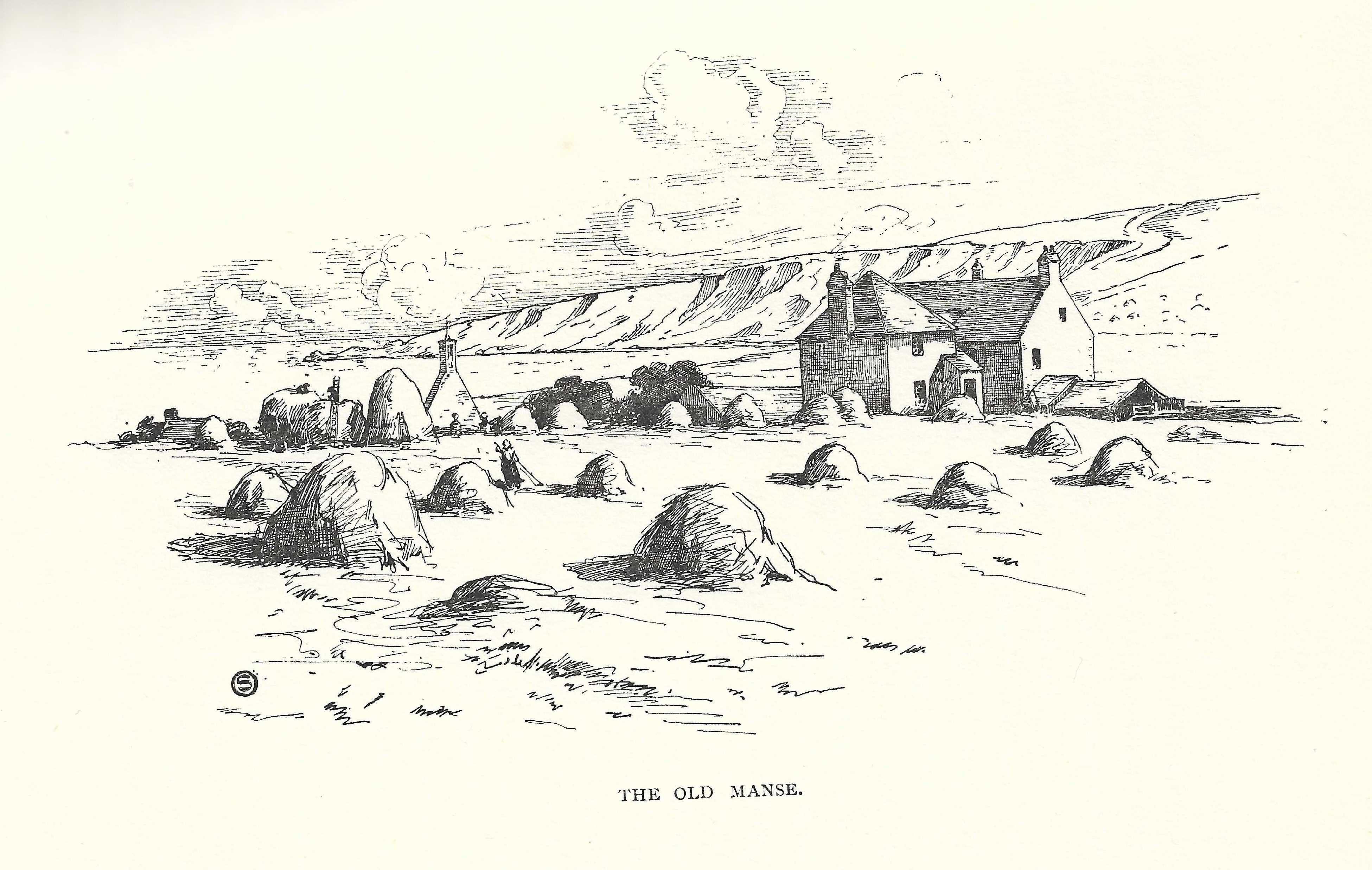
St.Fittick's Manse was built beside it around 1759.
The church fell into disuse around 1829 when the new church was built on Nigg Kirk Road.
The manse was demolished around the 1960s.
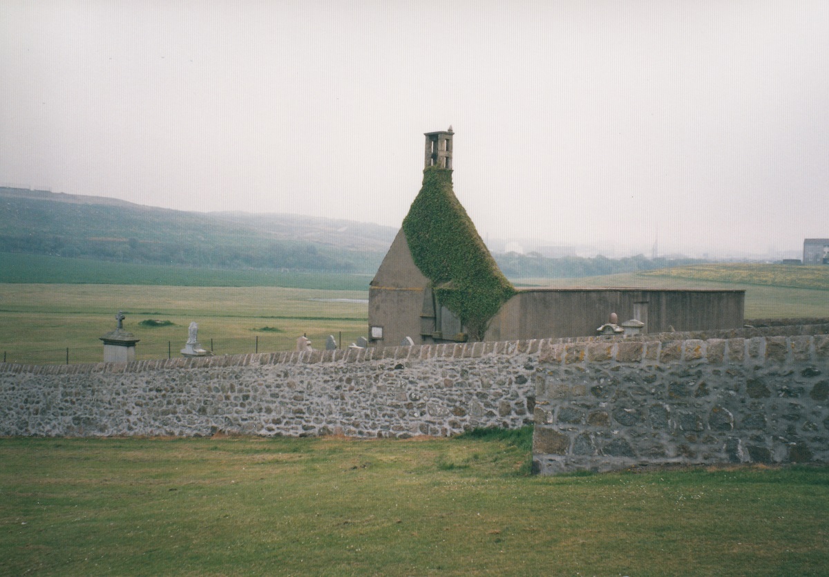
The ruin of the church survives.
The new
Nigg Church
is on
Nigg Kirk Road,
Nigg, Aberdeen.
It opened 1829.
It is now closed and disused.
It has a large graveyard.
See street view.
The new
Torry St.Fittick's Parish Church
is on
Walker Road,
Torry,
Aberdeen.
See street view.
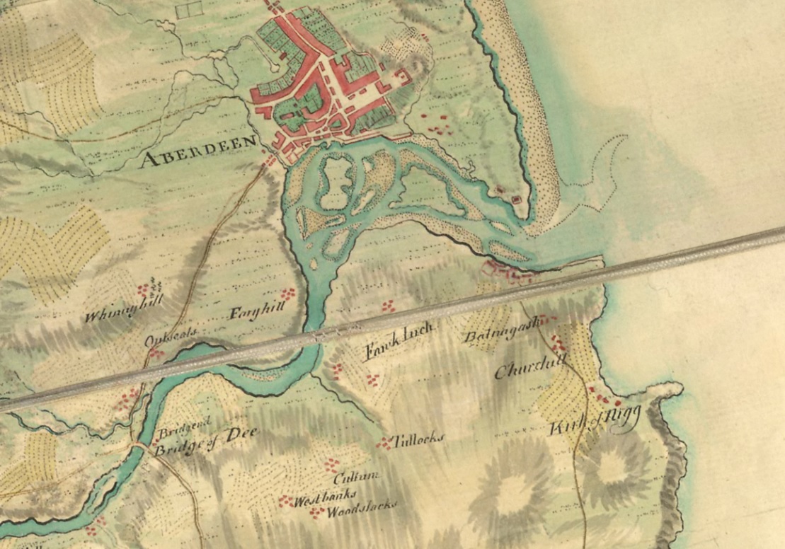
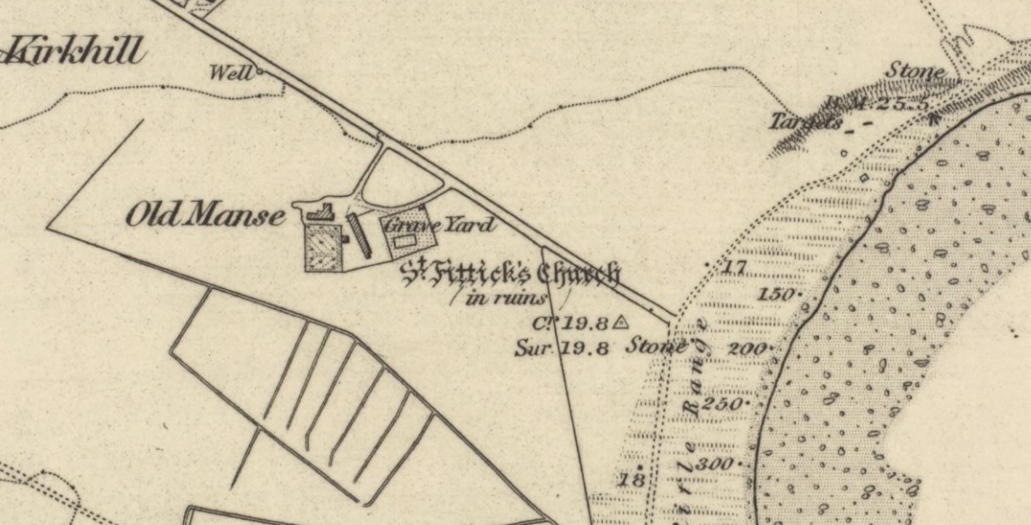
St.Fittick's church on
OS map.
Survey date: 1865. Publication date: 1868.
St.Fittick's has two buildings here
- the now vanished manse to the W and the ruined church to the E.
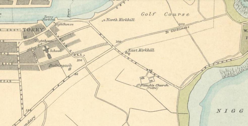
Torry and St.Fittick's church, on
1912 map of Aberdeen.
Location of St.Fittick's church, on S side of St.Fittick's Road.
The manse is now gone.
Click to toggle map/satellite view.
Click to zoom in/out.
Drag to move.
From
Google Maps.
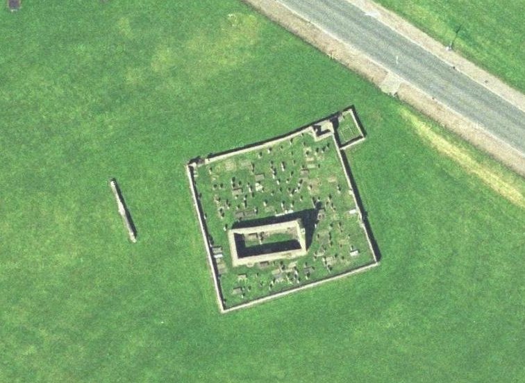
St.Fittick's church. Close-up of above.
The Gibbon graves are in the NE corner here.
Street level view.
Click to rotate to see the sea.
From Google Maps.
See 360 view
from the air.
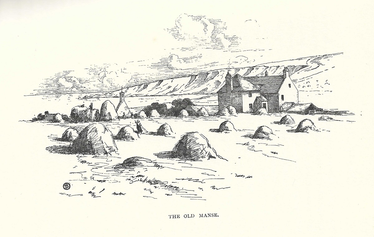
St.Fittick's manse.
See larger
and full size.
From [Ogilvie, 1901].
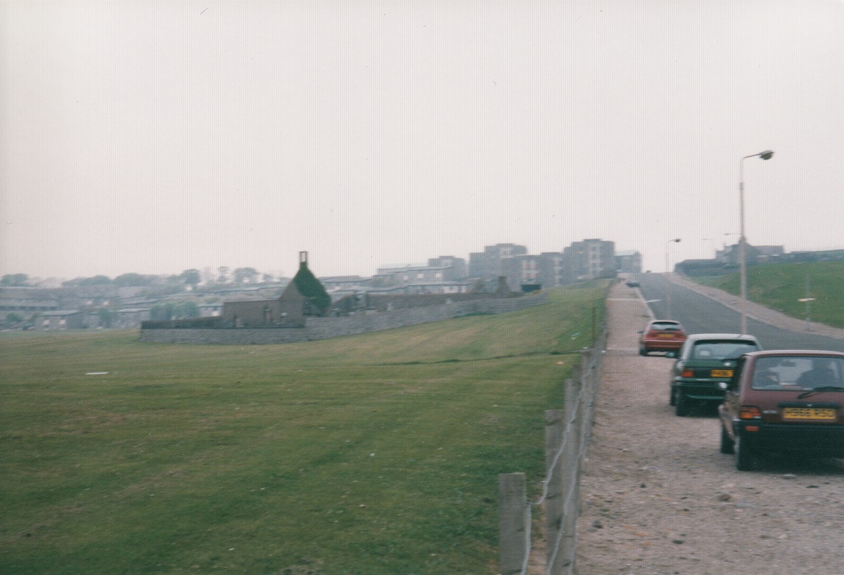
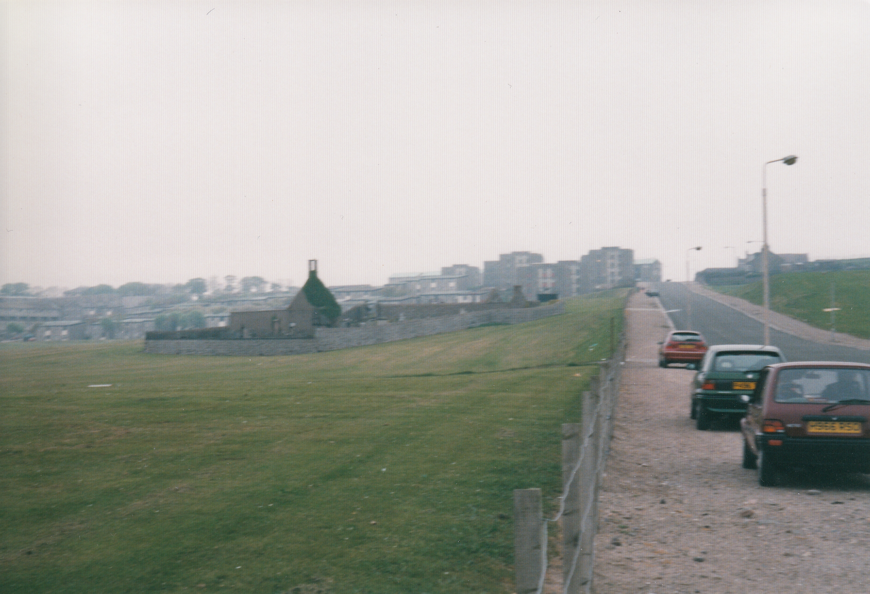
St.Fittick's.
Photo 1998.
See larger
and full size.
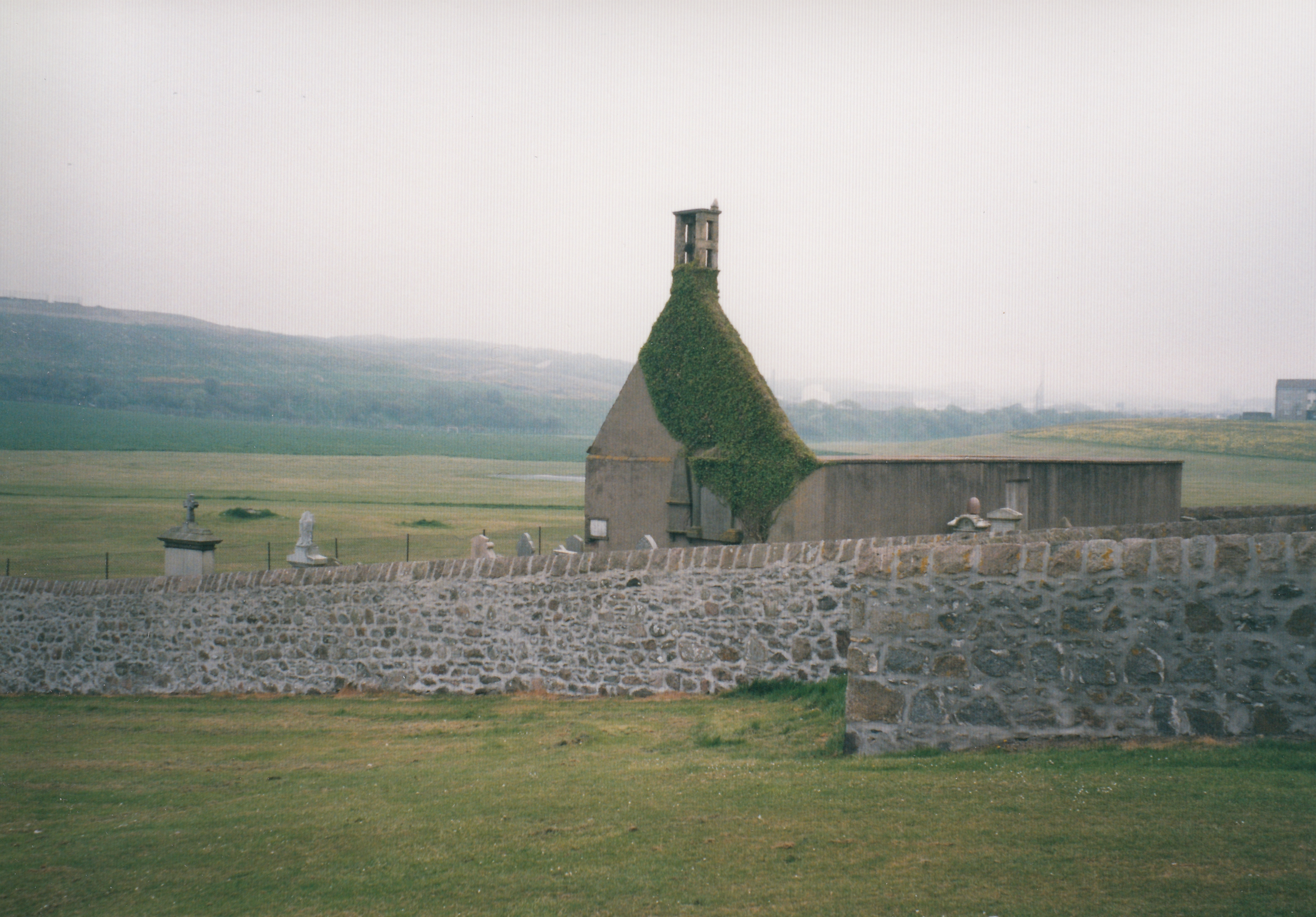
St.Fittick's.
See full size.
Photo 2004 by Pamela Adam.
From here.
See terms of use.
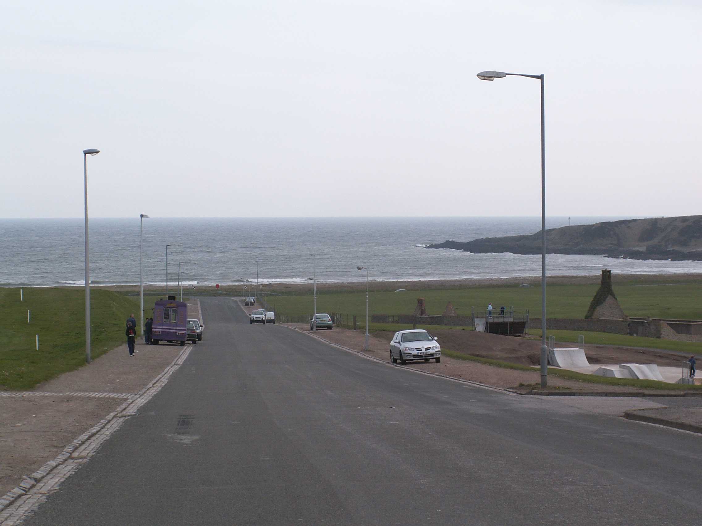
Location of St.Fittick's.
See full size.
Photo 2005 by Pamela Adam.
From here.
Used with permission.

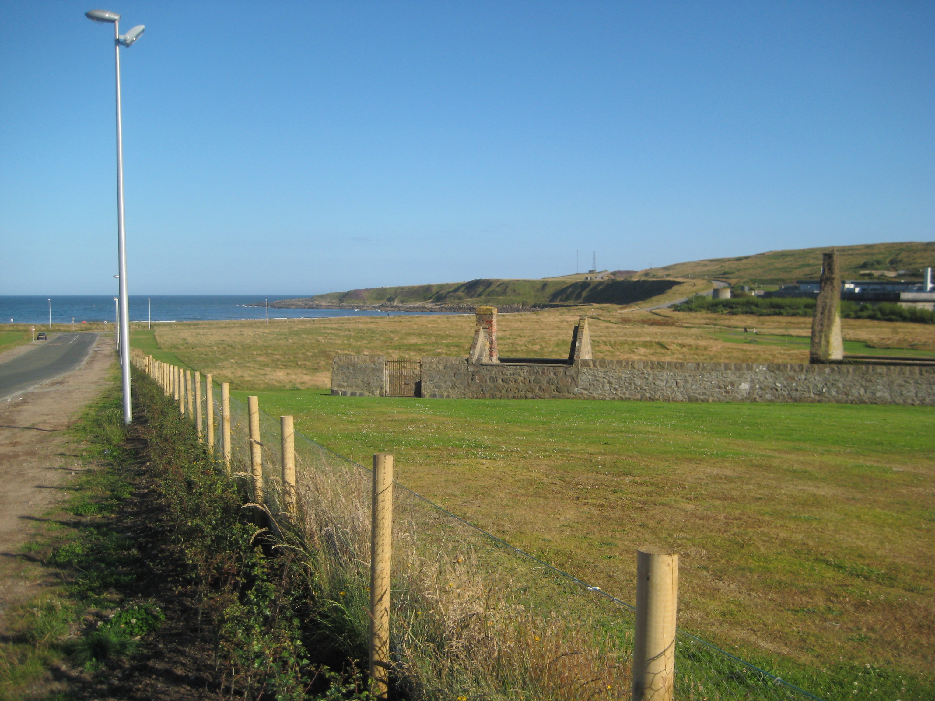
St.Fittick's church, looking out to sea.
Photo 2008.
See larger
and full size.

St.Fittick's church in winter.
St.Fittick's church, 2010.
St.Fittick's church, 2011.
Please donate to support this site.
I have spent a great deal of time and money on this research.
Research involves travel and many expenses.
Some research "things to do"
are not done for years, because I do not have the money to do them.
Please Donate Here
to support the ongoing research and
to keep this website free.
