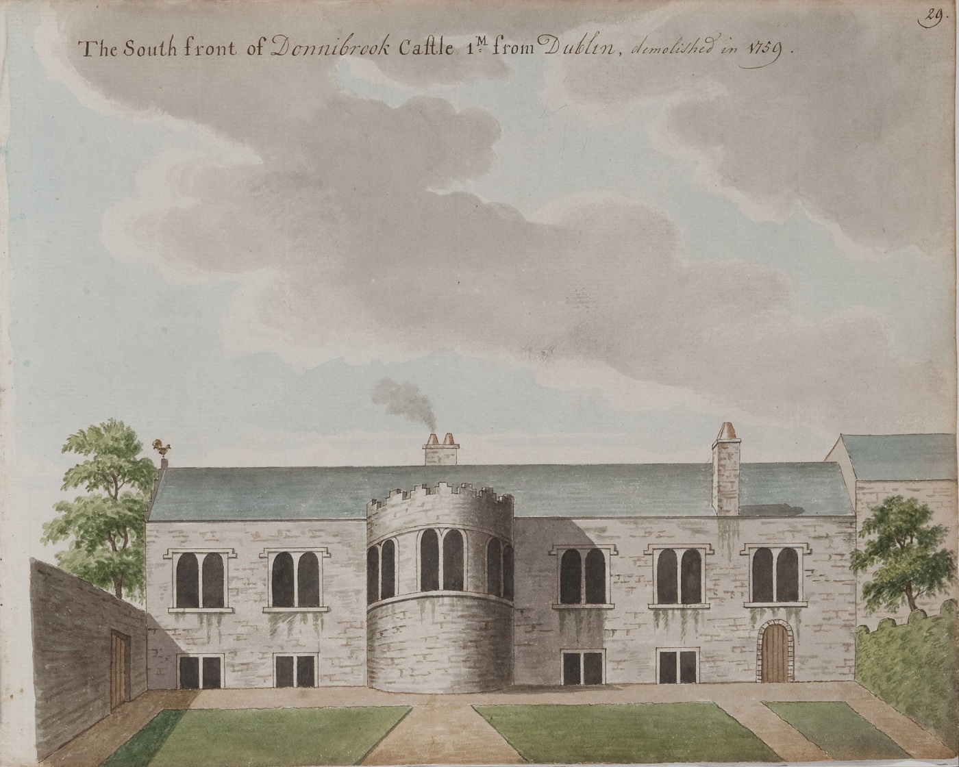
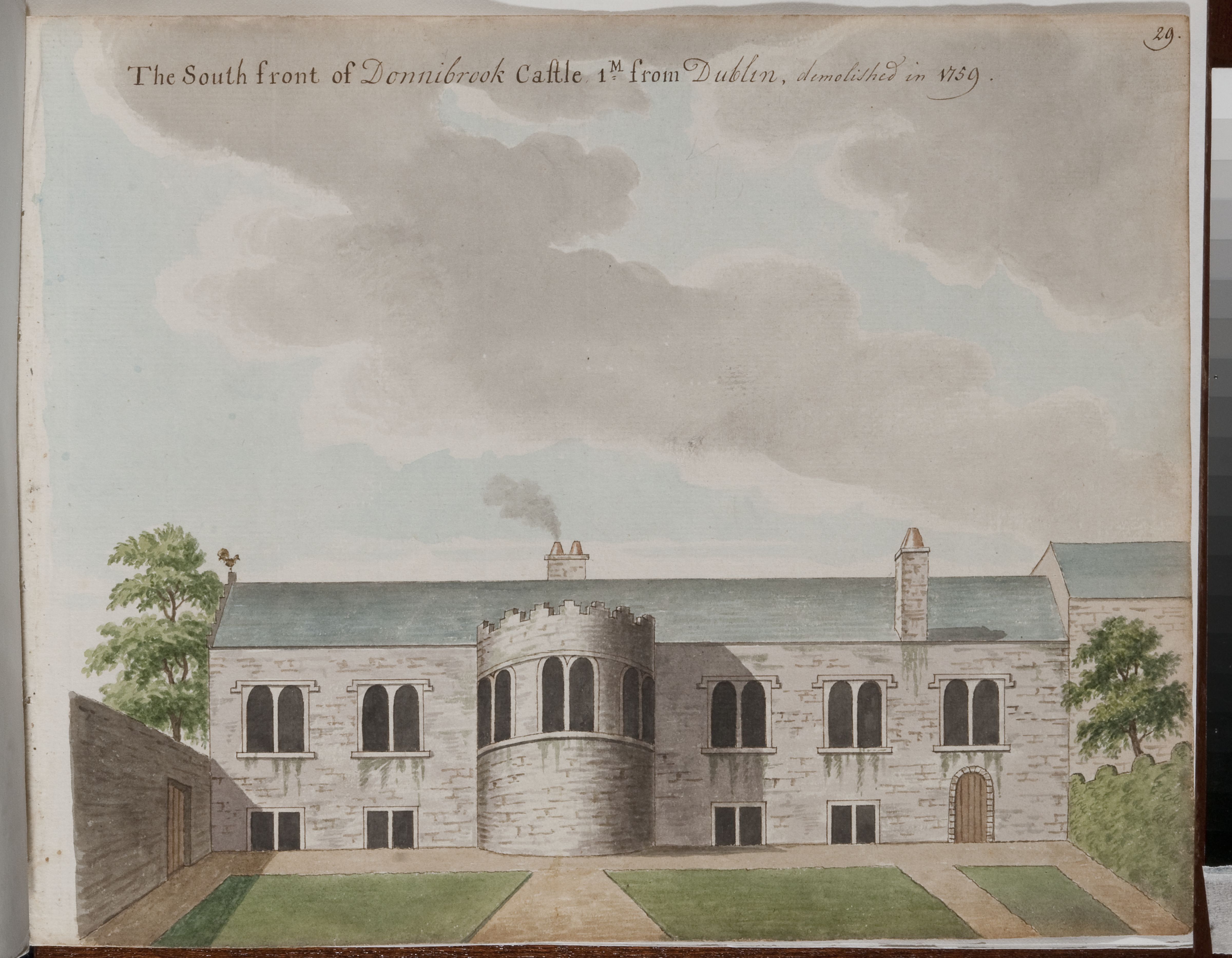
Donnybrook Castle was built in 16th century by the Ussher family.
Oliver Cromwell, shortly after his infamous massacre at Drogheda on 11 Sept 1649, marched south and camped at Donnybrook, Co.Dublin, for a night on 22 Sept 1649, on his way to a new massacre at Wexford on 11 Oct 1649.
Donnybrook Castle
was the home of Thomas Twigg in 1702.
It
was by 1710 the home of John Stoyte.
Jonathan Swift's
friend (and maybe love)
Stella Johnson
stayed there.
It
features in the
Journal to Stella
(also here)
(1710-13)
by Swift.
See references to
Stoyte and
Donnybrook.
Swift writes in 15 May 1711 entry: "I tell you what, if I was with you, when we went to Stoyte at Donnybrook, we would only take a coach to the hither end of Stephen's Green, and from thence go every step on foot, yes, faith, every step; it would do DD" [Stella] "good as well as Presto" [Swift].
Donnybrook Castle fell into decay and was demolished 1759.
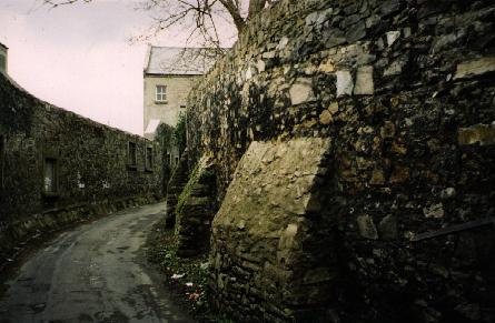
Photo 1999 of above view.
See 2014 shot.
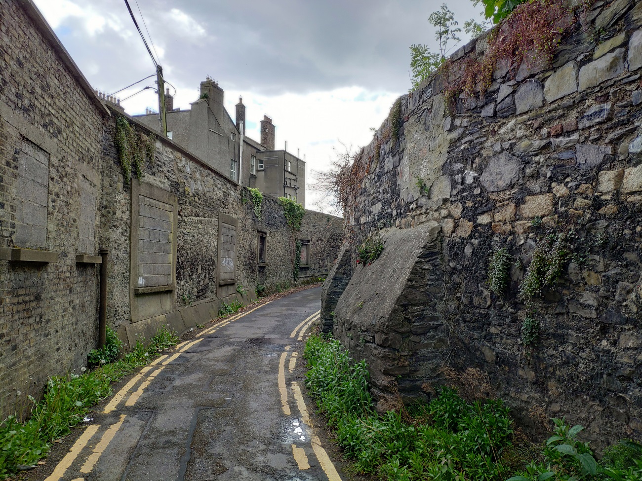
Photo 2021 of above view.
See larger
and full size.
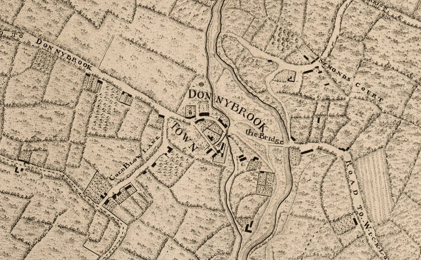
Donnybrook on
John Rocque's map of Dublin, 1757.
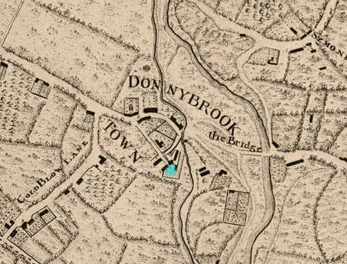
Donnybrook Castle would be on the SE side of the village, by the stream.
The buildings marked in blue here.
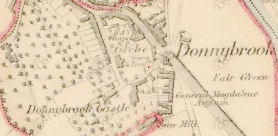
Donnybrook Castle site on
1829 to 1842 map.
The site was bought by the
Sisters of Charity
1837.
The old
Donnybrook Castle had been demolished in 1759.
This would be a new building, though some walls or parts of the old castle
might remain.
The stream running past the site is visible.
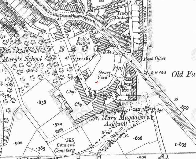
Ordnance Survey of Ireland map.
Date created: 1865.
From here.
Nothing obviously left from the old Donnybrook Castle.
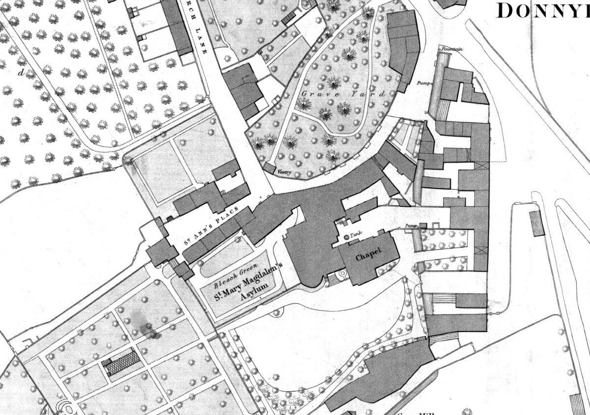
Donnybrook Castle site
on
1887 to 1913 map.
Note old building on the laneway.
The lane is called "Church Lane".
The stream running past the site is visible.
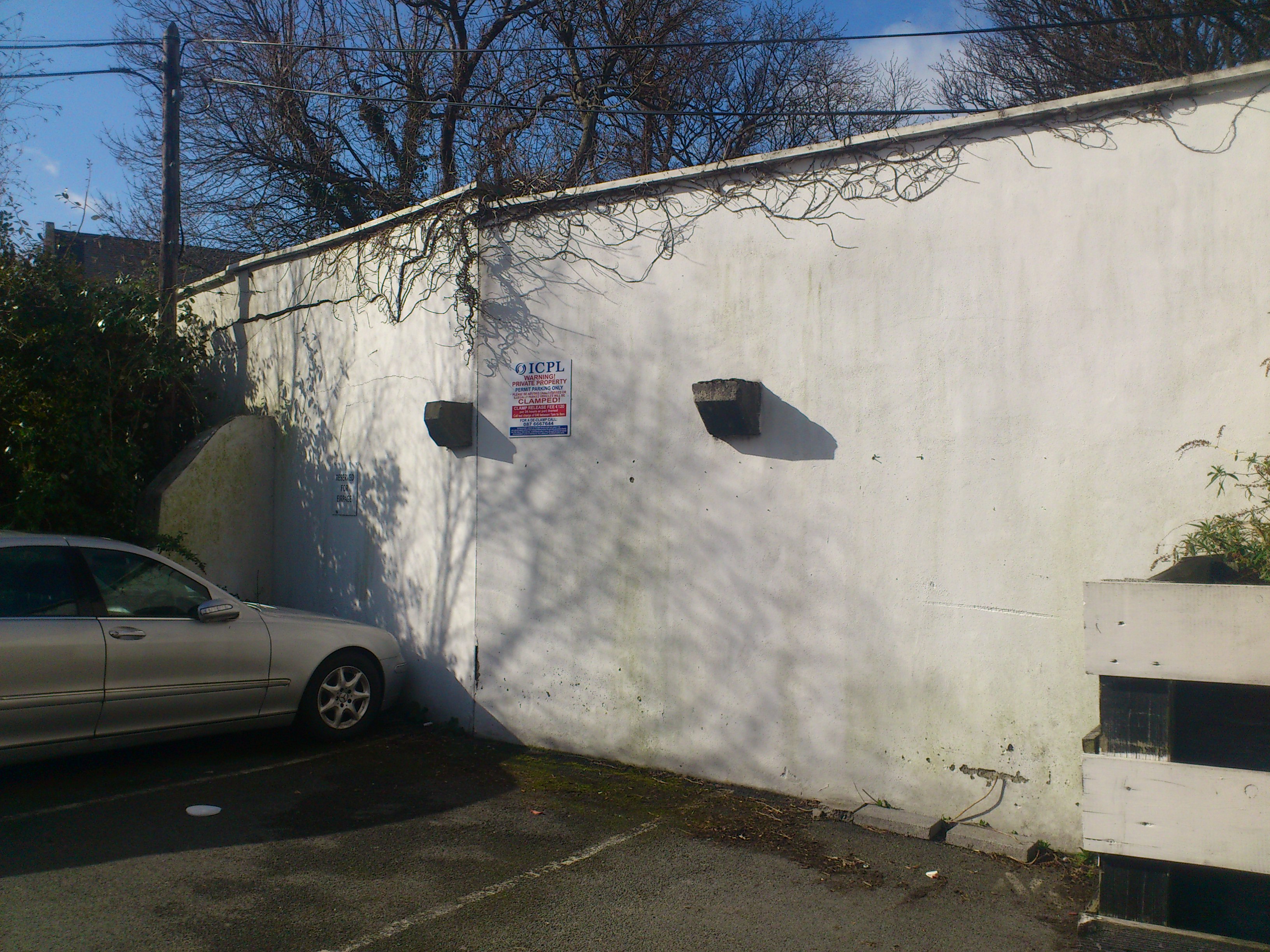
The view today of the site.
The old buildings are cleared but the wall remains.
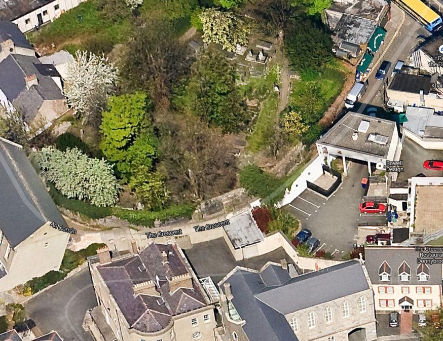
45 degree view looking N from
Google Maps.
See 2014 shot
of the white wall in the yard on the RHS.
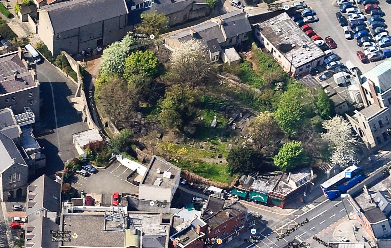
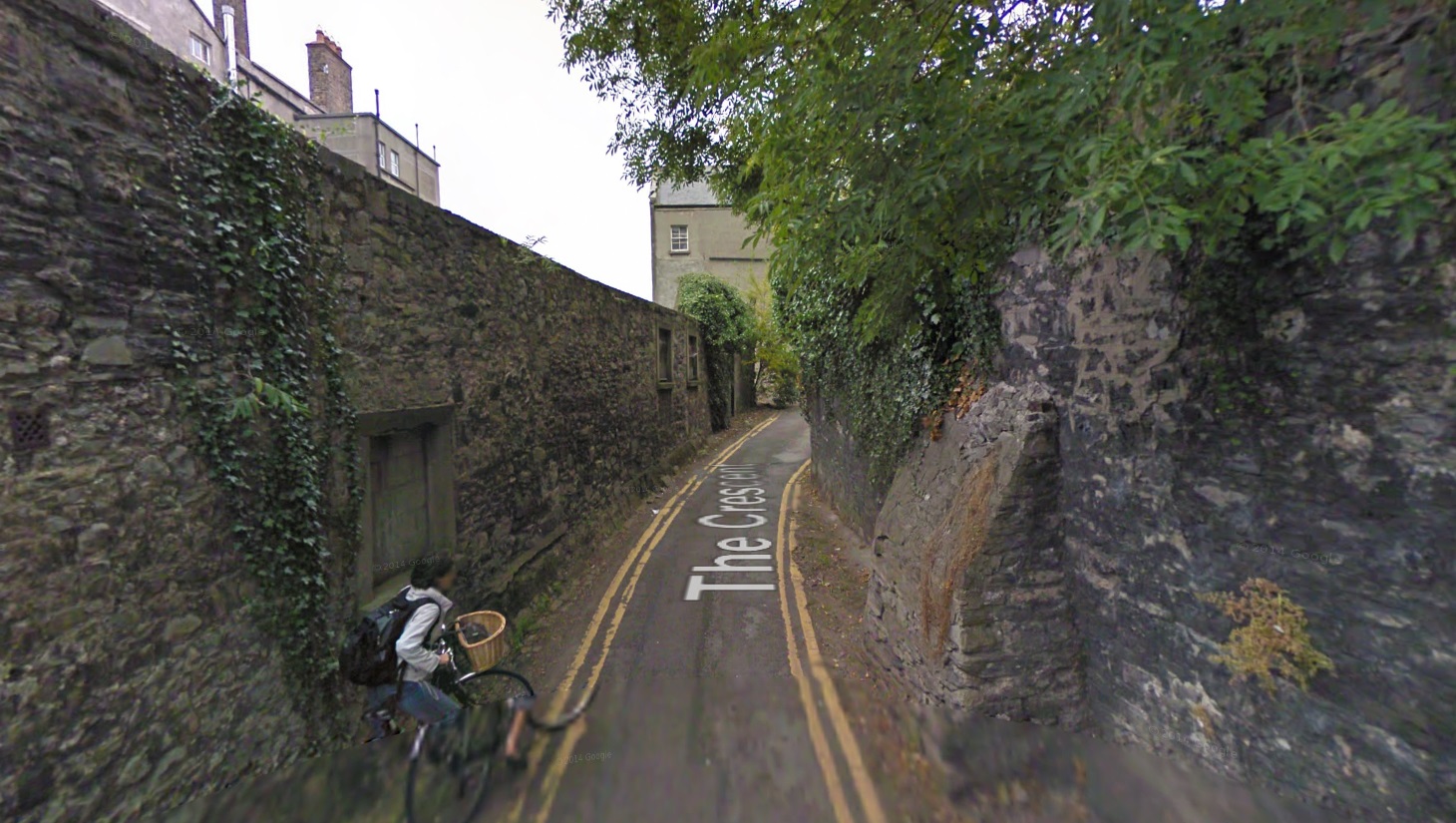
45 degree view looking W from
Google Maps.
This is the N-S part of the laneway.
The avenue that formerly led to Donnybrook Castle.
Donnybrook graveyard on LHS.
Site of Donnybrook Castle would be straight ahead (we are looking SE).
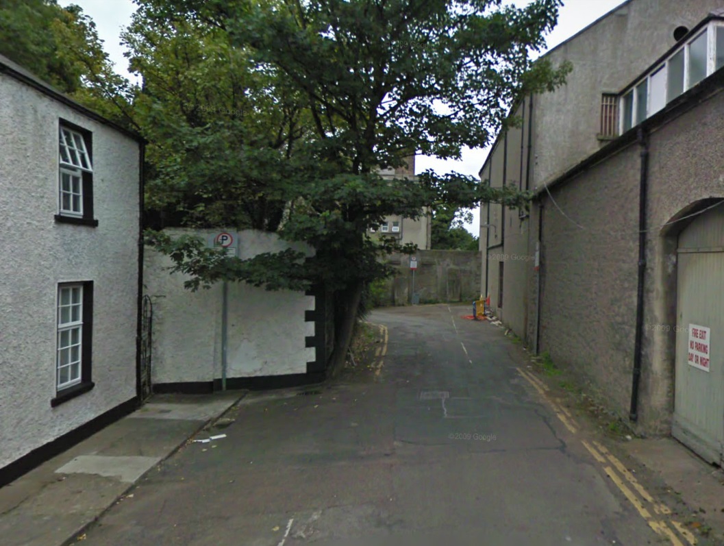
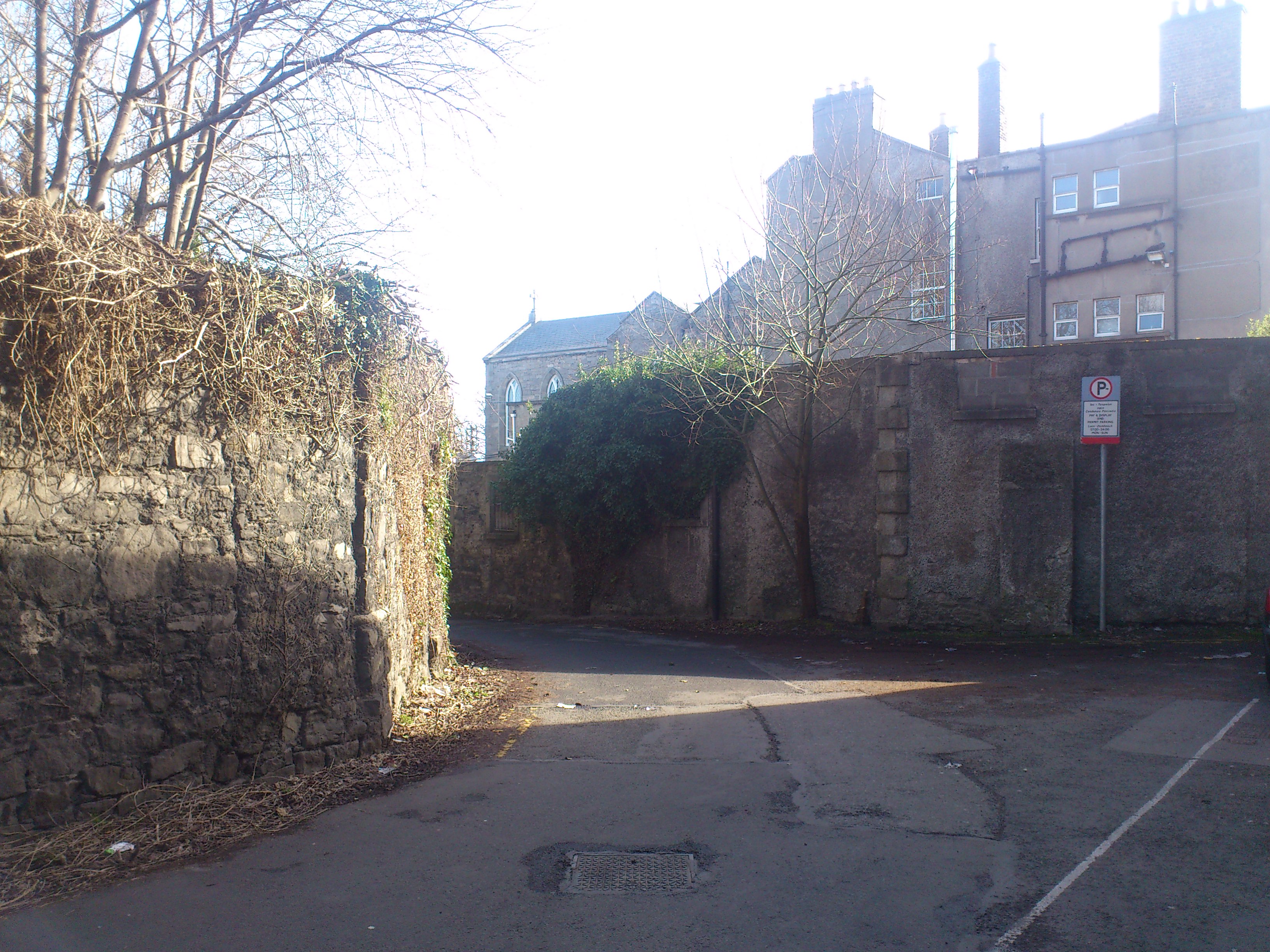
From Google street view.

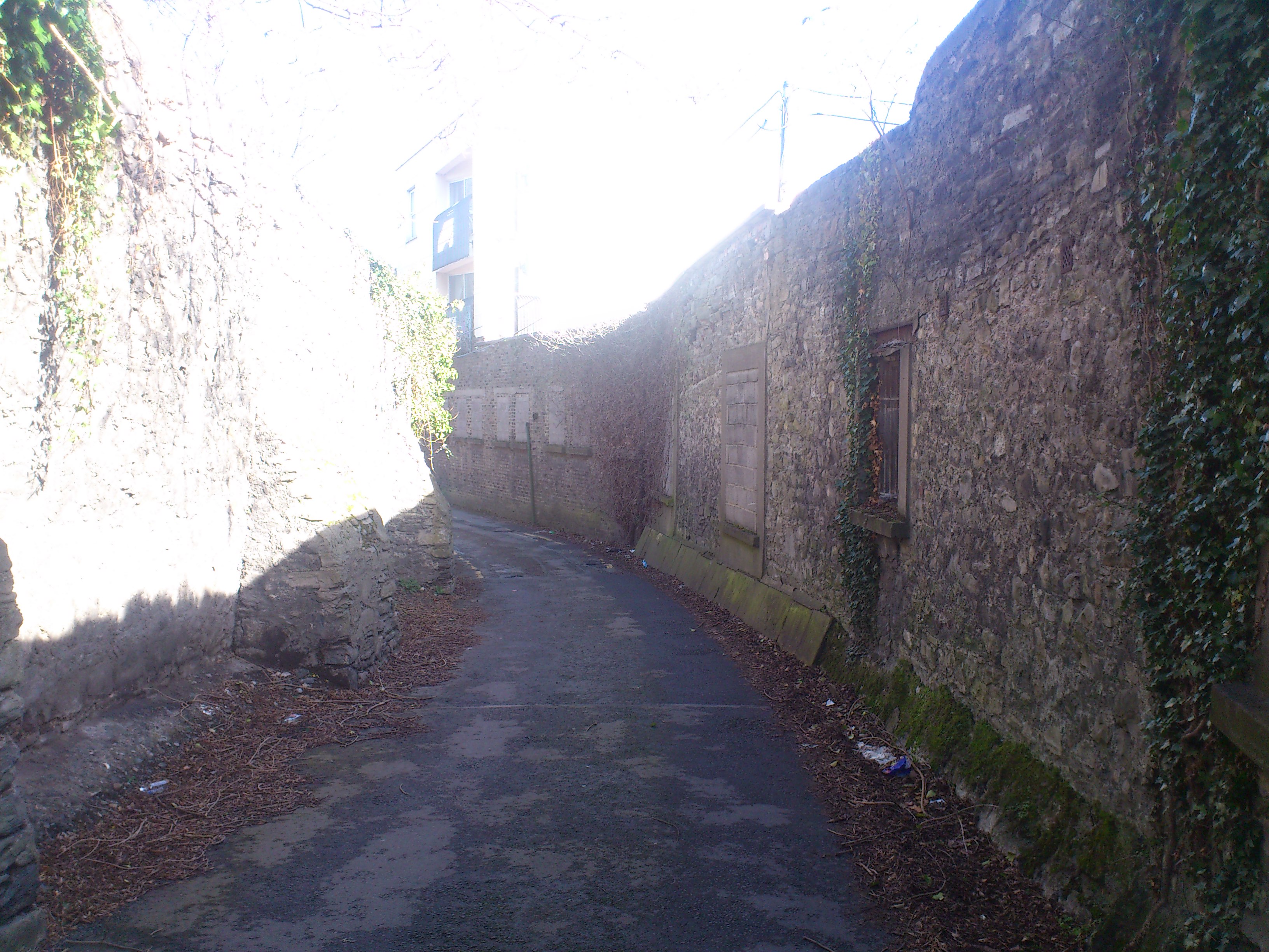
The corner in the lane.
Graveyard on LHS.
Castle site on RHS.
Photo 2014.
See full size.
See shot
turning the corner and looking E down the E-W part of the lane.
And shot
slightly further down.
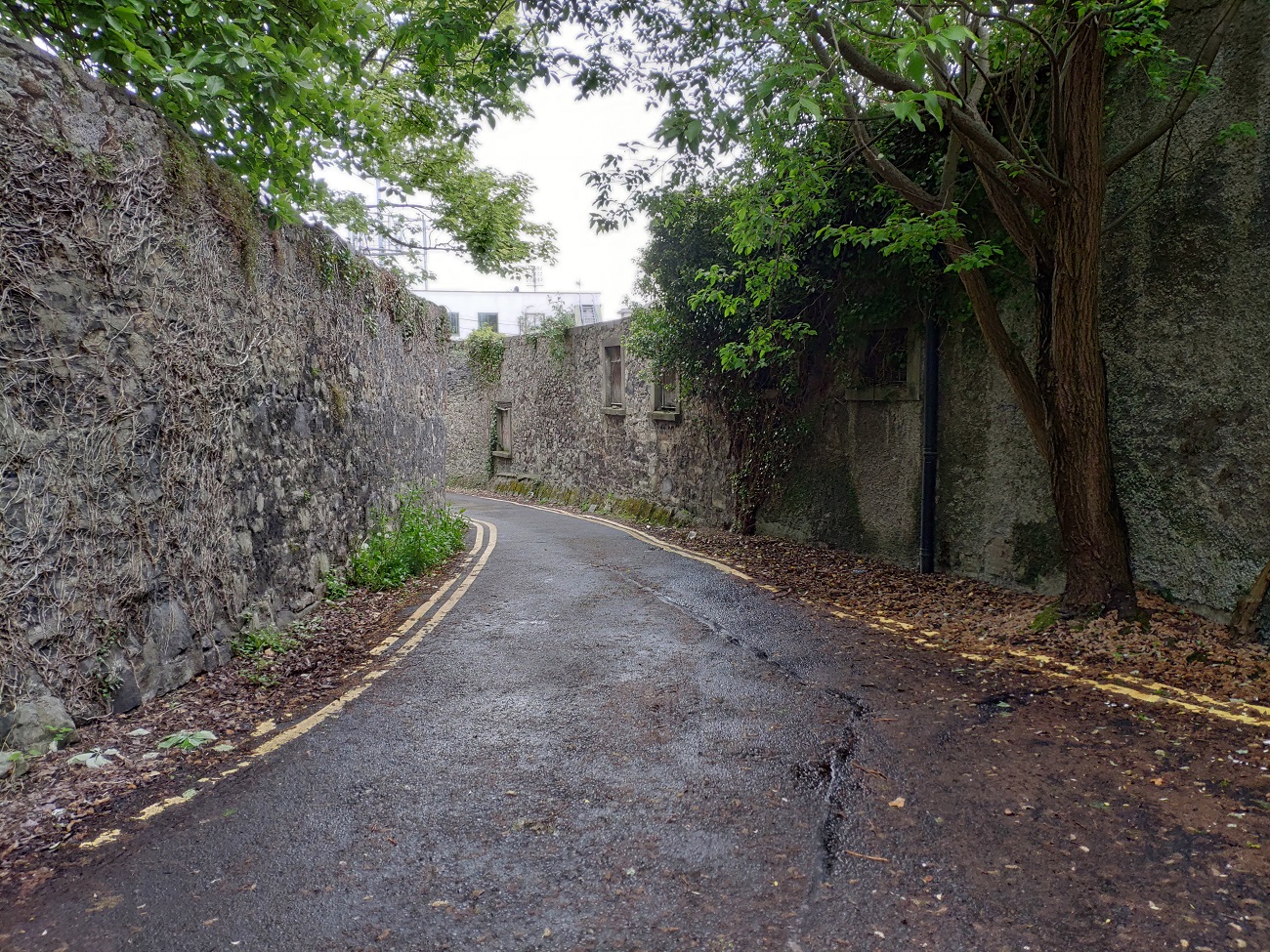
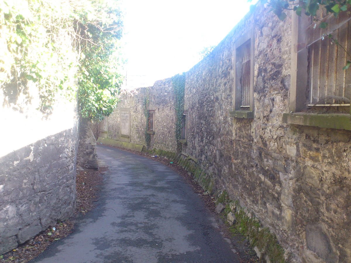
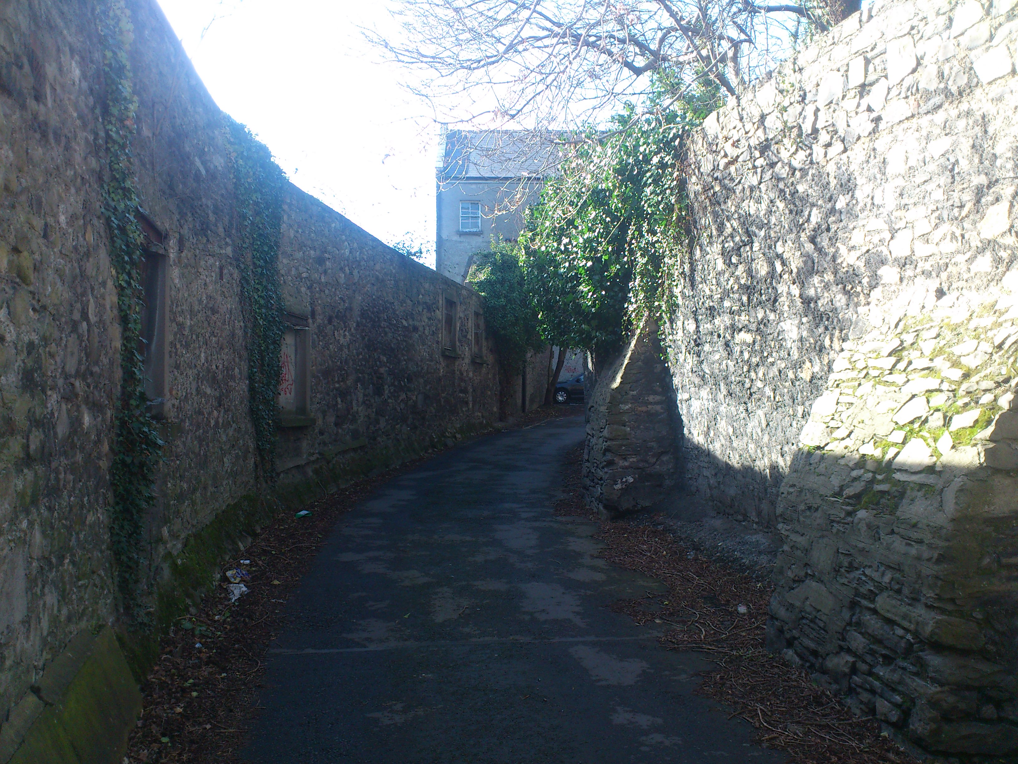
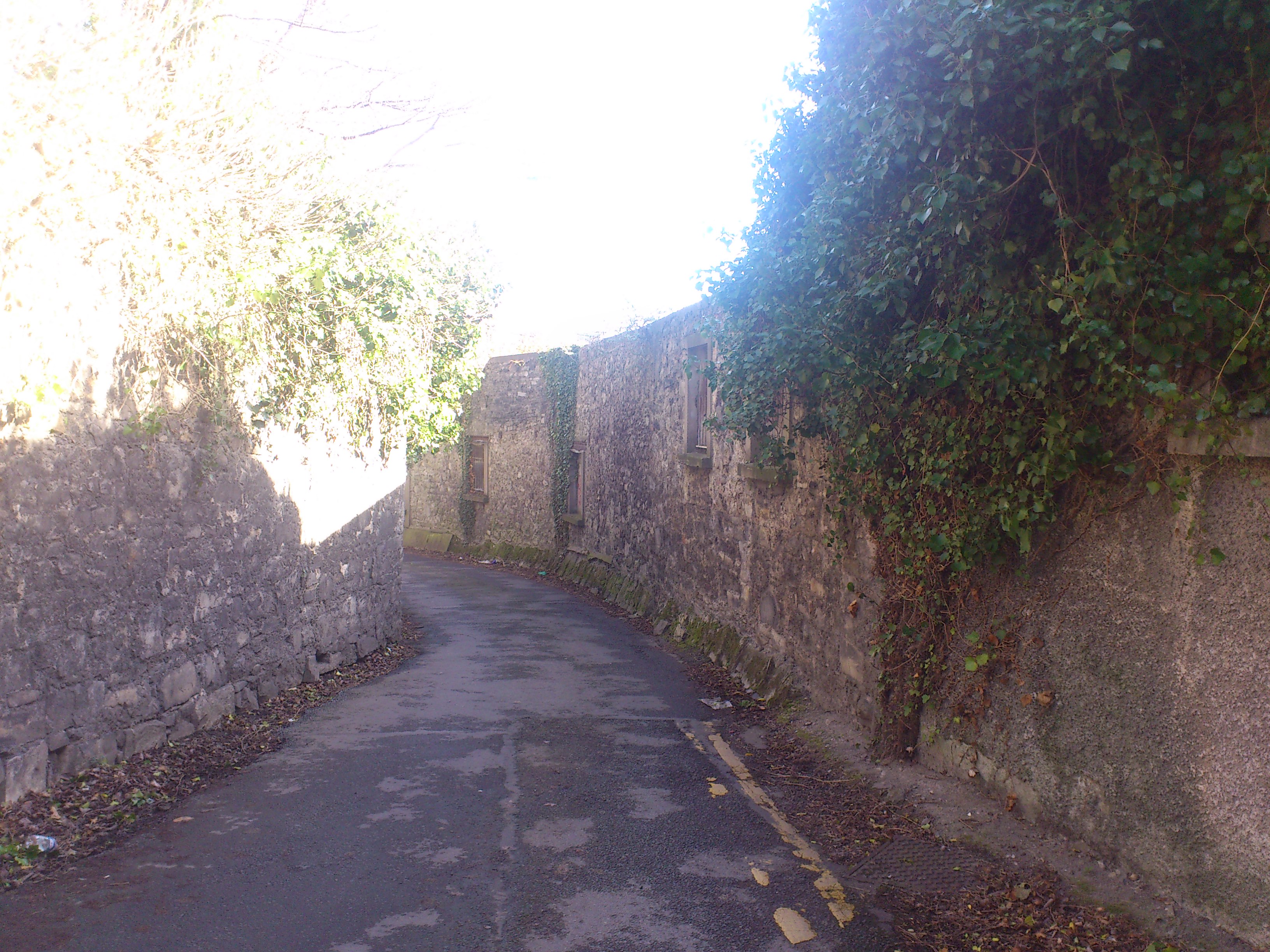
Shot looking down the laneway (looking E).
Graveyard on LHS.
Castle site on RHS.
Photo 2021.
See larger
and full size.
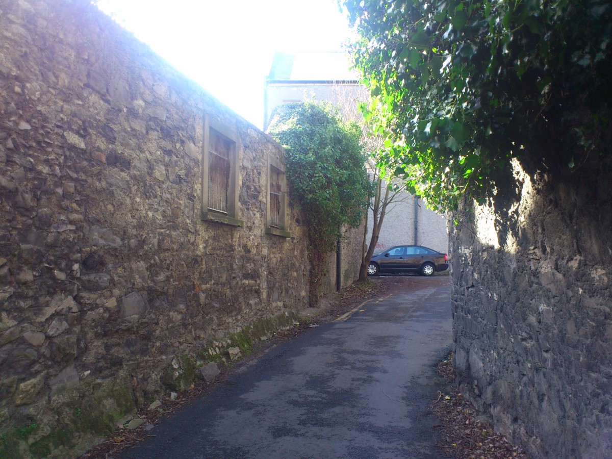
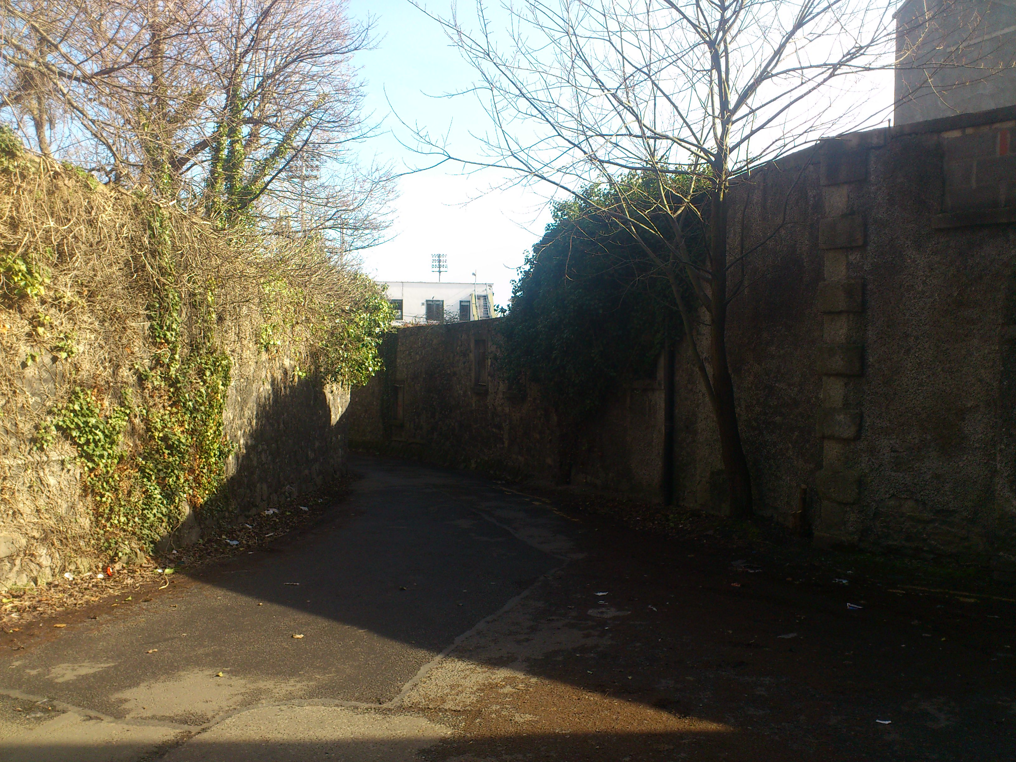
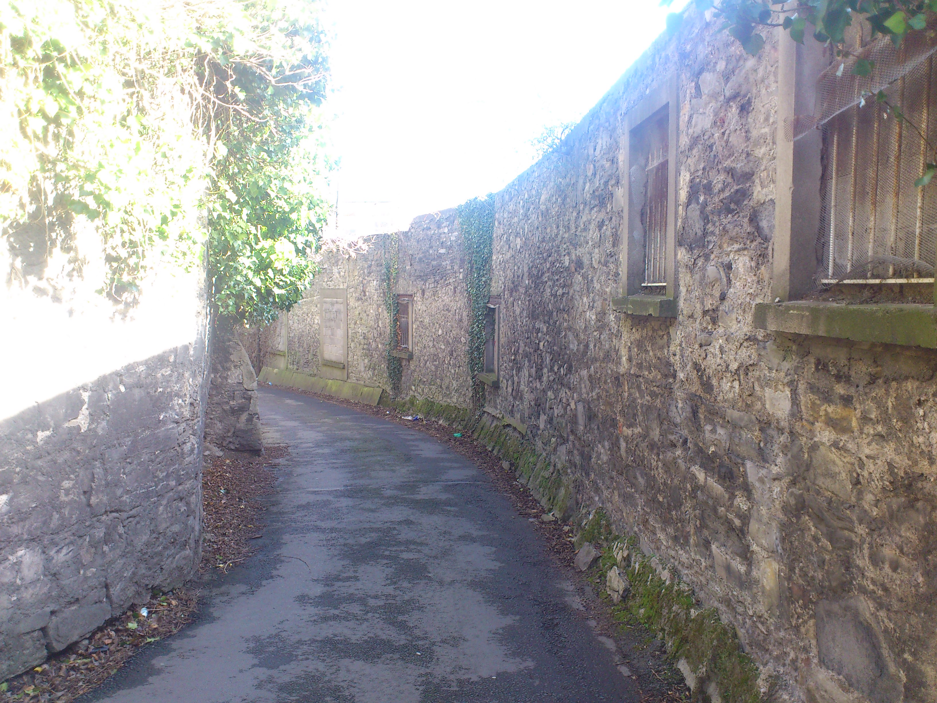
Shot looking further down the laneway (looking E).
Graveyard on LHS.
Castle site on RHS.
Photo 2014.
See full size.
And shot
slightly further down.
View looking up the other way (looking W).
Photo 2014.
See full size.
Please donate to support this site.
I have spent a great deal of time and money on this research.
Research involves travel and many expenses.
Some research "things to do"
are not done for years, because I do not have the money to do them.
Please Donate Here
to support the ongoing research and
to keep this website free.
