|
Killorglin Castle
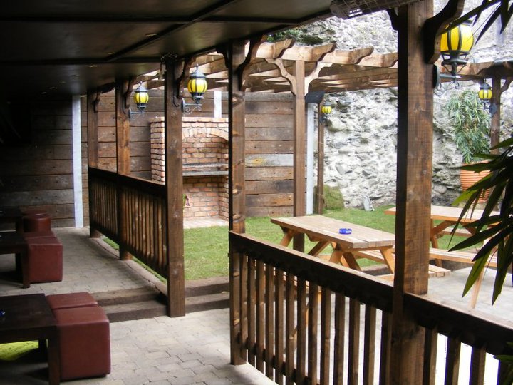
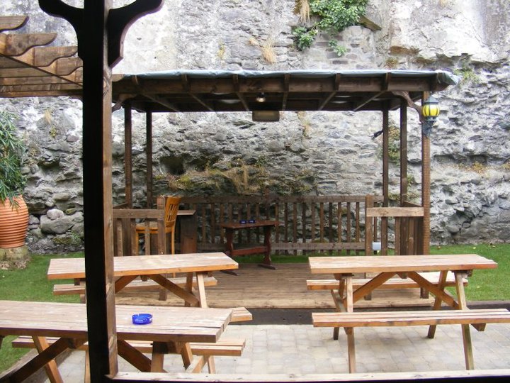
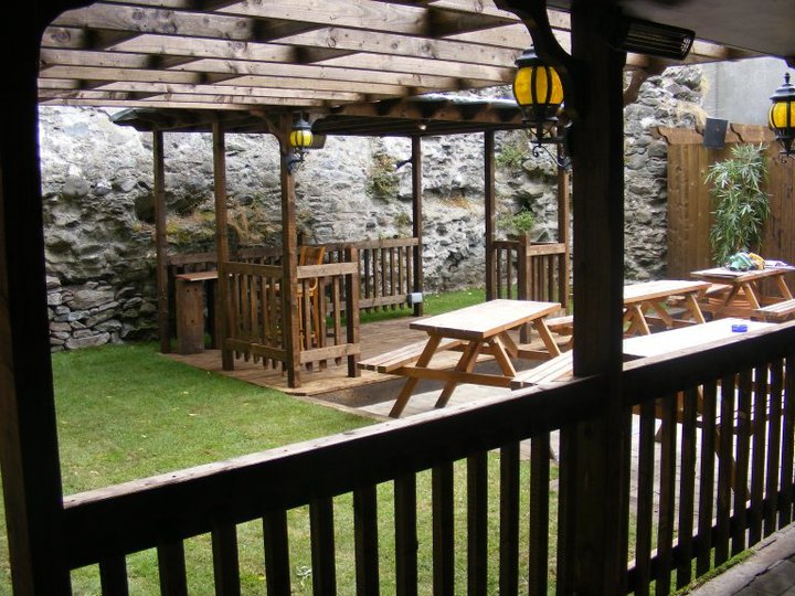
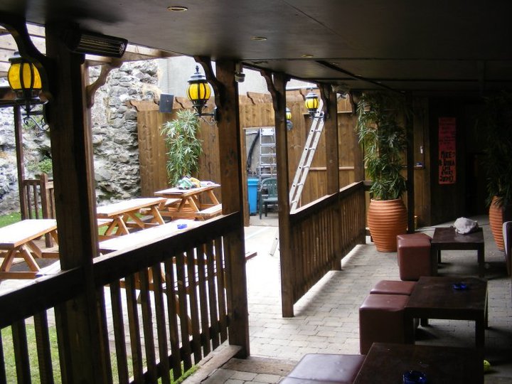
Modern pictures (before beer garden) The beer garden, Kingston's bar
|
The Conway-Blennerhassett tomb
|
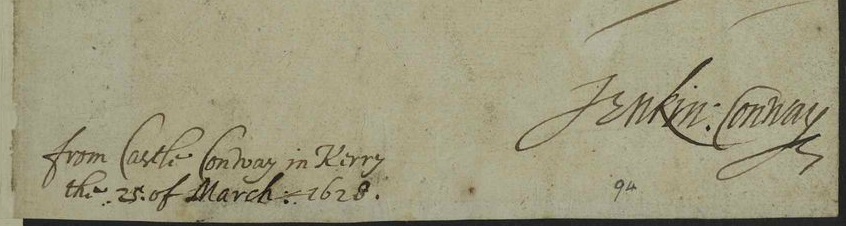
Killorglin and castle were granted
to Capt. Jenkin Conway.
He was granted "custodiam" of Killorglin in 1585.
A
letter of 10 Oct 1587 from him
survives, written from Killorglin Castle.
Grant of Killorglin to him apparently dated
1587 (confirmed 1592).
Killorglin Castle was burned
in Aug 1600,
during the
Nine Years' War.

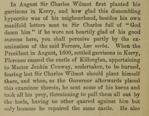
Killorglin Castle was burned by
Florence MacCarthy
in Aug 1600,
during the
Nine Years' War.
This was during the
Munster campaign of
George Carew, President of Munster.
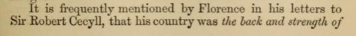
Extract from
[Pacata Hibernia, 1633].
This is from
pp.238-239
of
vol.1
of 1896 edn.
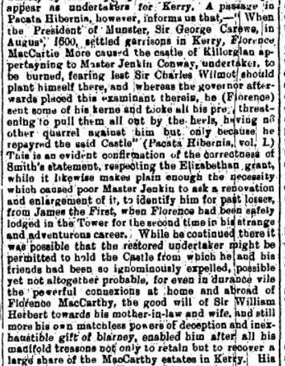
Discussion of the above section of Pacata Hibernia.
Extract from
[Hickson, 9 May 1908].
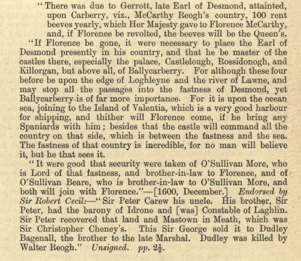
Killorglin Castle ("Killorgan") is mentioned as a strategic castle in Kerry in 1600.
This is a dispatch of Dec 1600 by
George Carew, President of Munster,
during the
Nine Years' War.
He refers to
Florence MacCarthy,
who was organising for a Spanish force to land.
From p.138
of
the published
Calendar of State Papers, Ireland, vol.10.
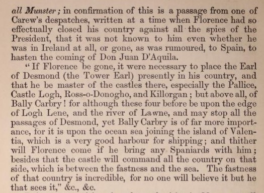
The same mentioned on
pp.223-224
of [MacCarthy, 1867].
See also
[Hickson, 9 May 1908].
Demolished in 1820s-40s:
Castle Conway was largely demolished by 1848.
The site is mostly cleared
by time of
1887 to 1913 map,
except for one wall.
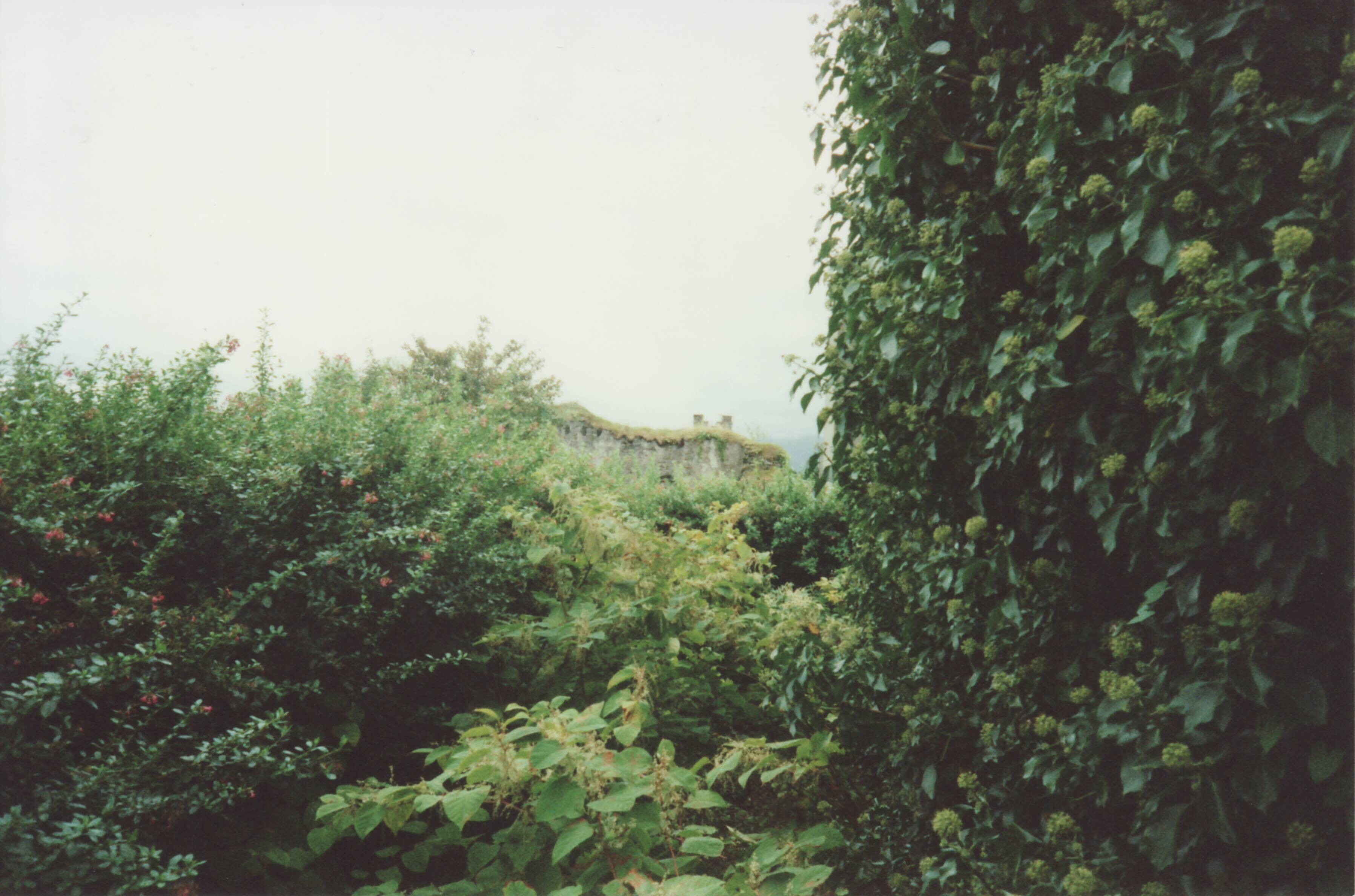
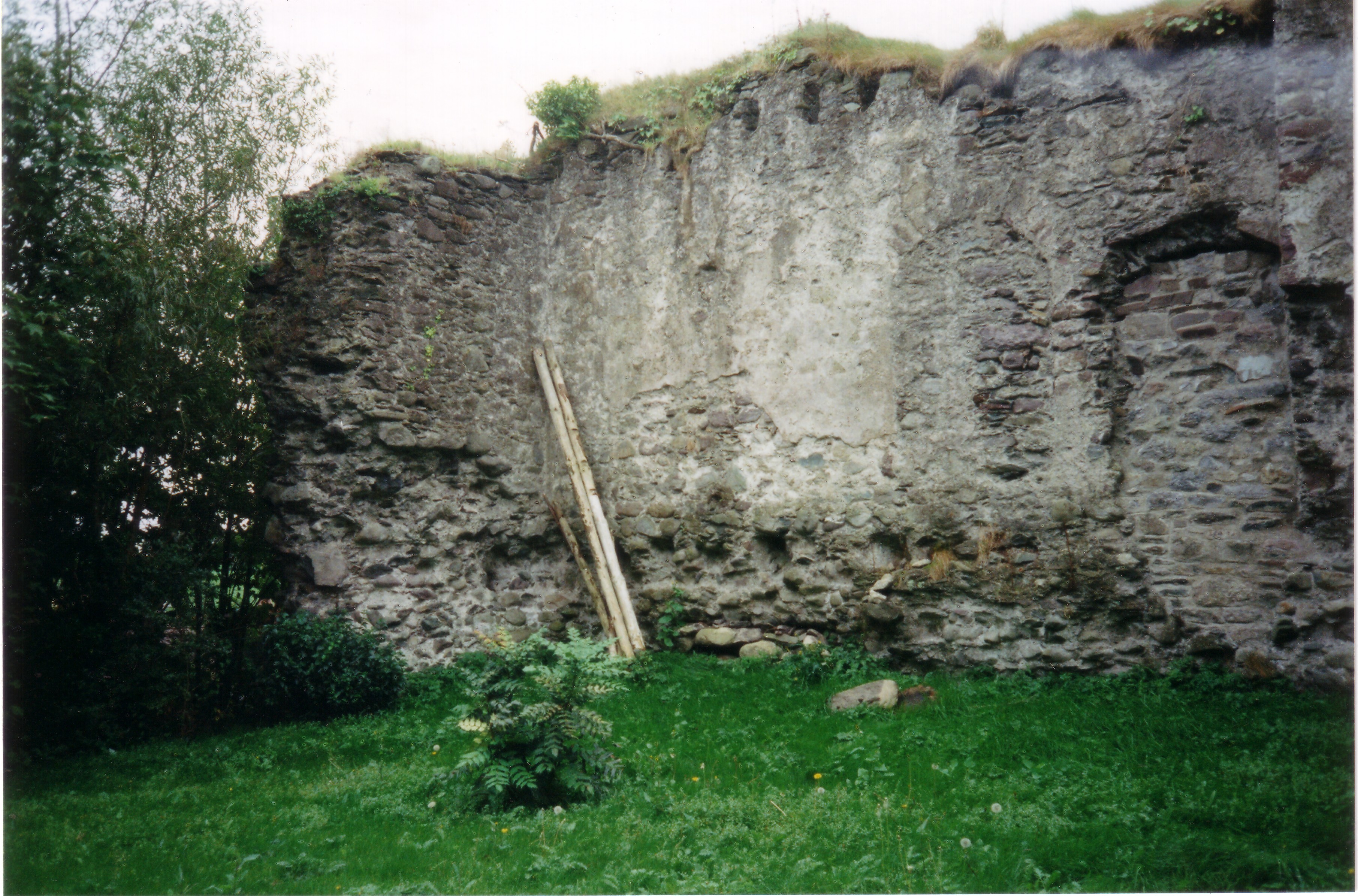
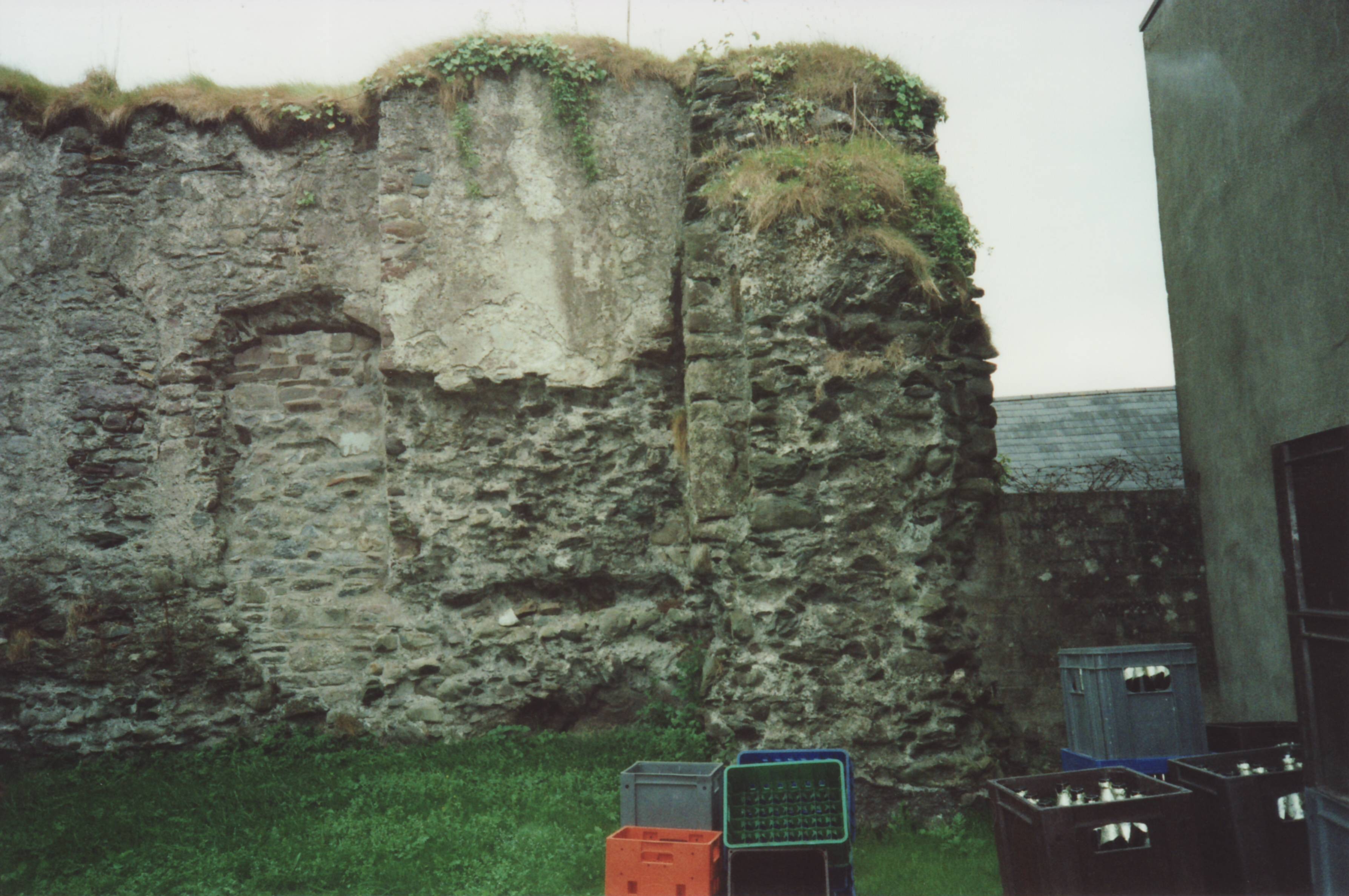
Wall survives today:
One old ruined wall (on the S side) survives today.
It is on high ground, on the inside of an urban block, hidden from the street behind buildings.
It is accessible through
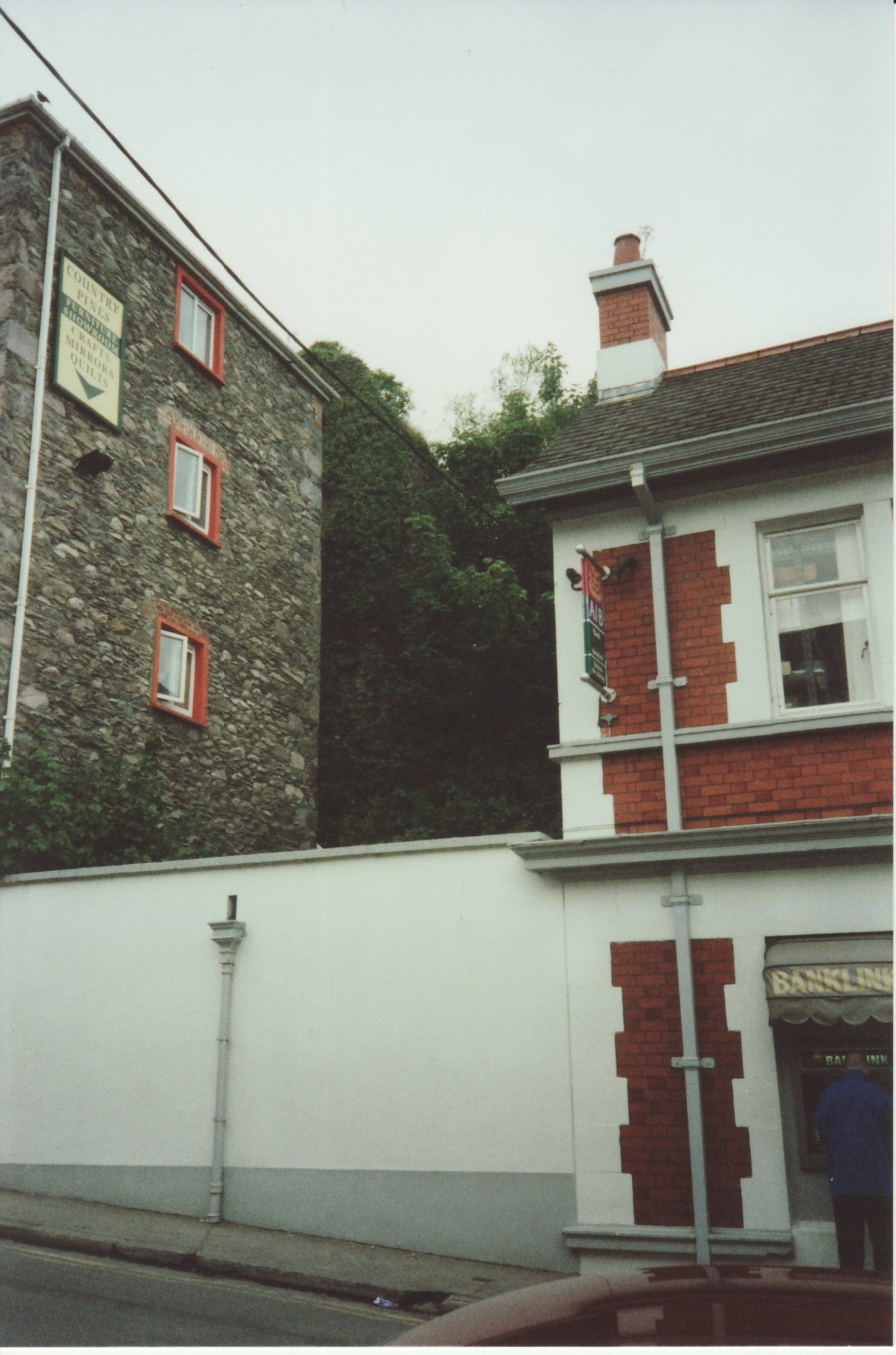
Kingston's bar
on Market St.
See
street view.
In 2010 the area in front of the wall (to the N side) opened as the
beer garden
and live music venue
of Kingston's bar.
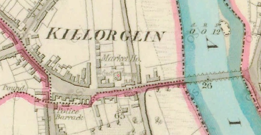
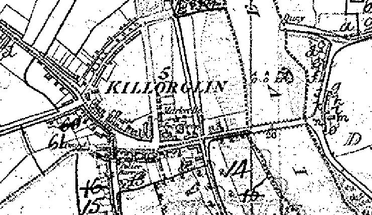
Castle Conway on the map of
[Griffiths Valuation].
Looks like it still exists, though we know it was largely demolished by 1848,
so the map might be out of date.
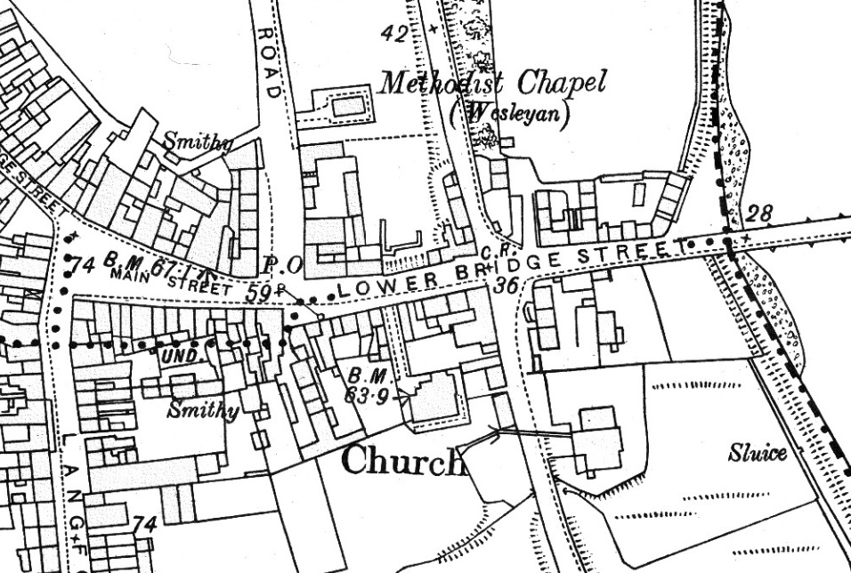
Ordnance Survey of Ireland map.
Date created: 1894.
Date issued: 1895.
From here.
Castle Conway is gone.
All that survives is a ruined wall on the S side of the site (above "LOWER").
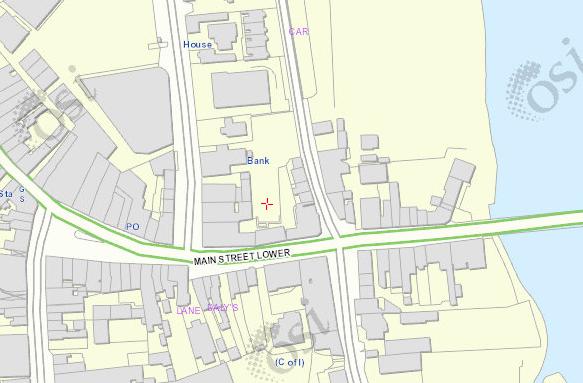
On the
modern map
slightly less survives.
See
also
Google Maps.
See 2000 photo
from the S side.
See
street view
from the S side.

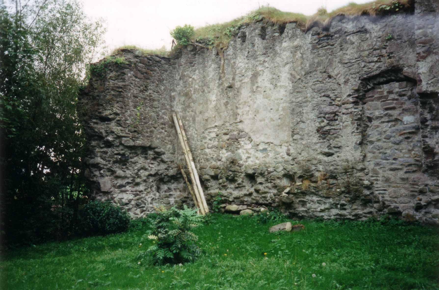
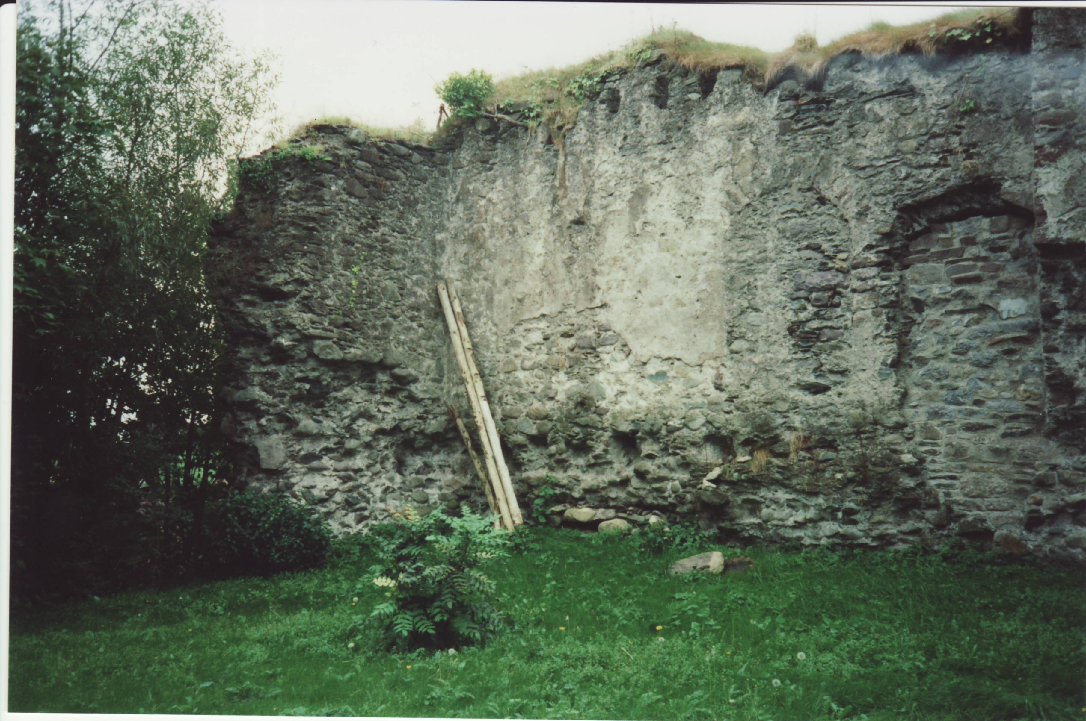
The surviving ruined wall of Castle Conway.
Photo 2000.
See larger
and full size.
See other scan.
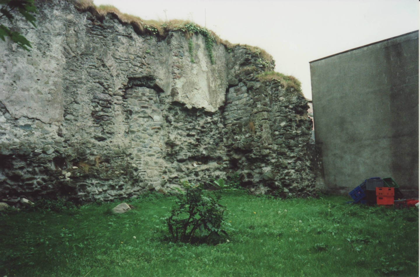
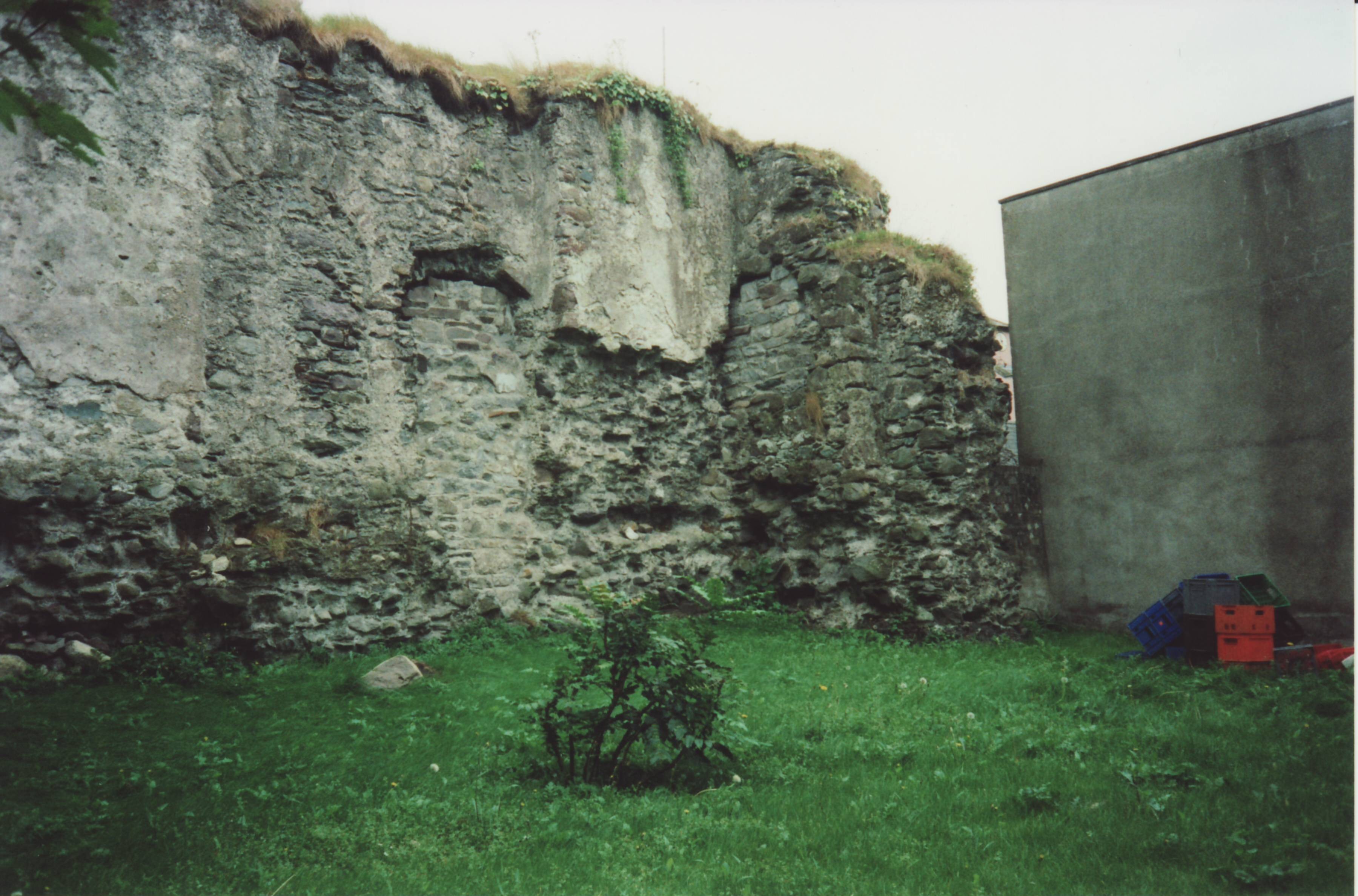
The remaining ruined wall of Castle Conway.
Photo 2000.
See larger
and full size.
See other shot.
Photos from 2010 album at Kingston's bar on Facebook.
Please donate to support this site.
I have spent a great deal of time and money on this research.
Research involves travel and many expenses.
Some research "things to do"
are not done for years, because I do not have the money to do them.
Please Donate Here
to support the ongoing research and
to keep this website free.
