Rowland's daughter
Melisent Blennerhassett
was
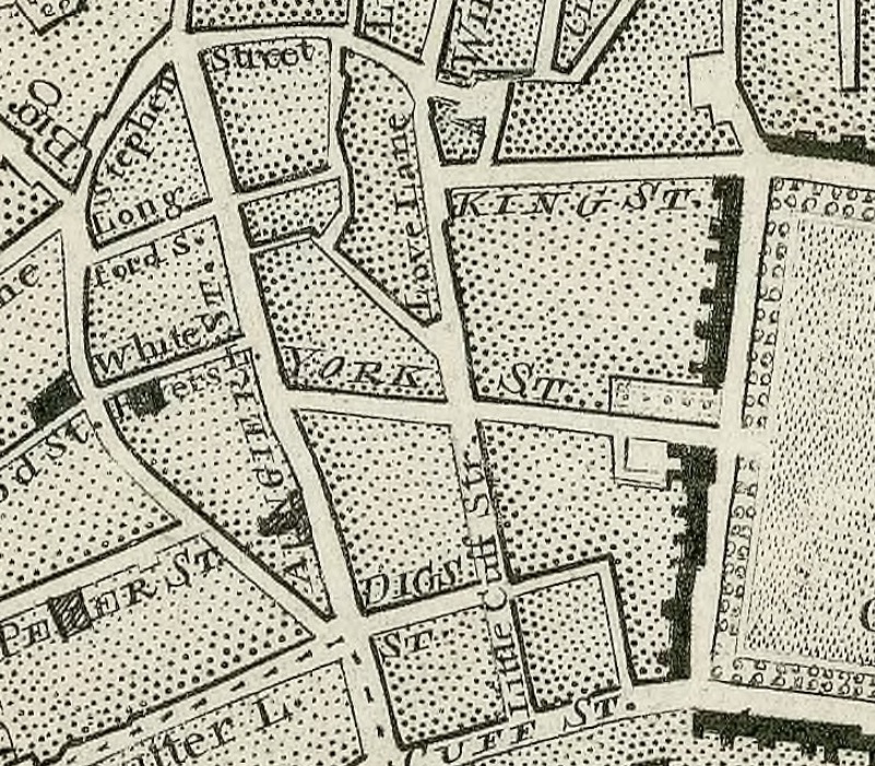
probably born at Stephen St.
She was
baptised 16 Jan 1768 nearby, at
St. Peter's Church,
Aungier St.
She died as an infant and was buried at St. Peter's Church in May 1768.
Rowland moved back to Co.Kerry.
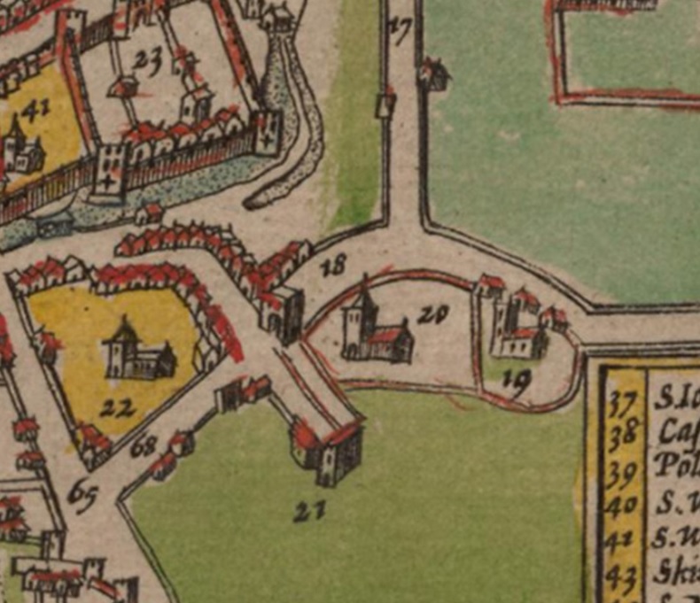
Extract from
Rocque's map of Dublin, 1757.
Shows Dublin Castle, George's Lane, Stephen St, Aungier St.
St.Peter's church is at the "UN" in "AUNGIER ST".
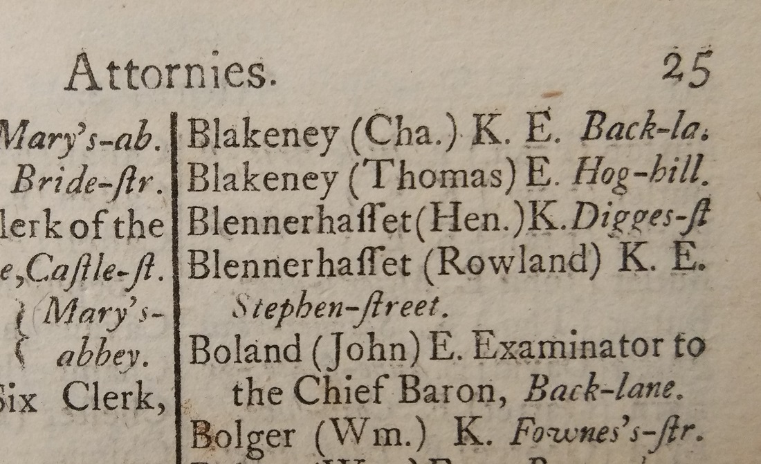
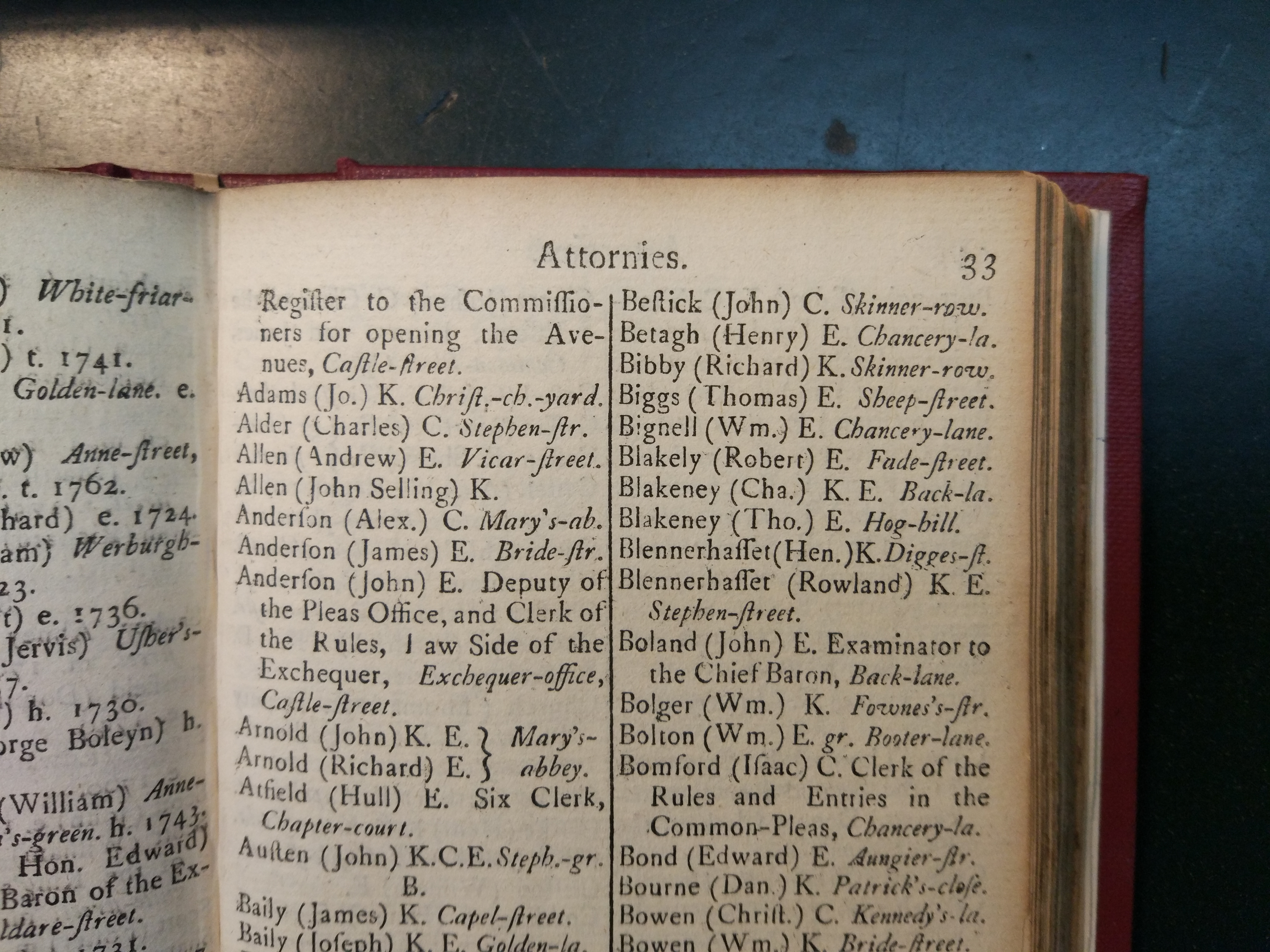
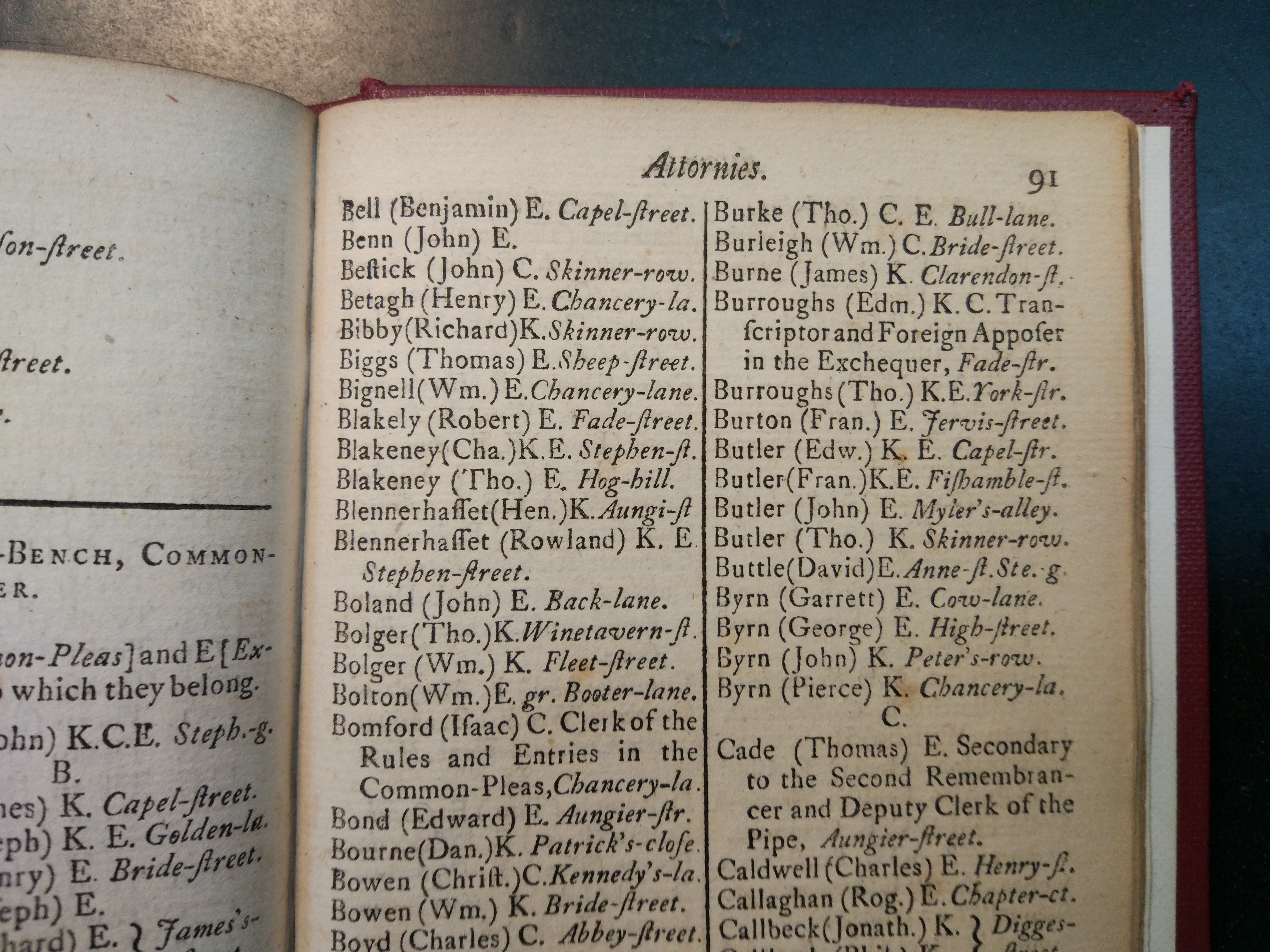
Rowland Blennerhassett listed at Stephen St, Dublin,
on p.25
of [Watson's Almanack, 1765].
Note also his 1st cousin
Henry Blennerhassett.
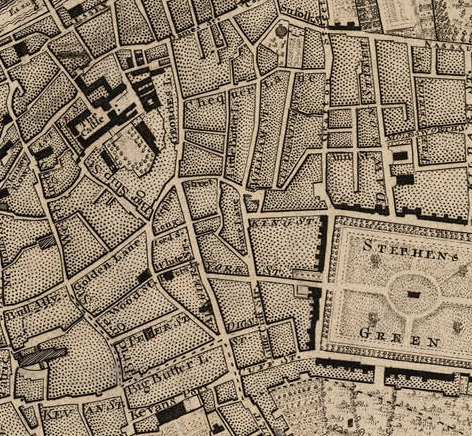
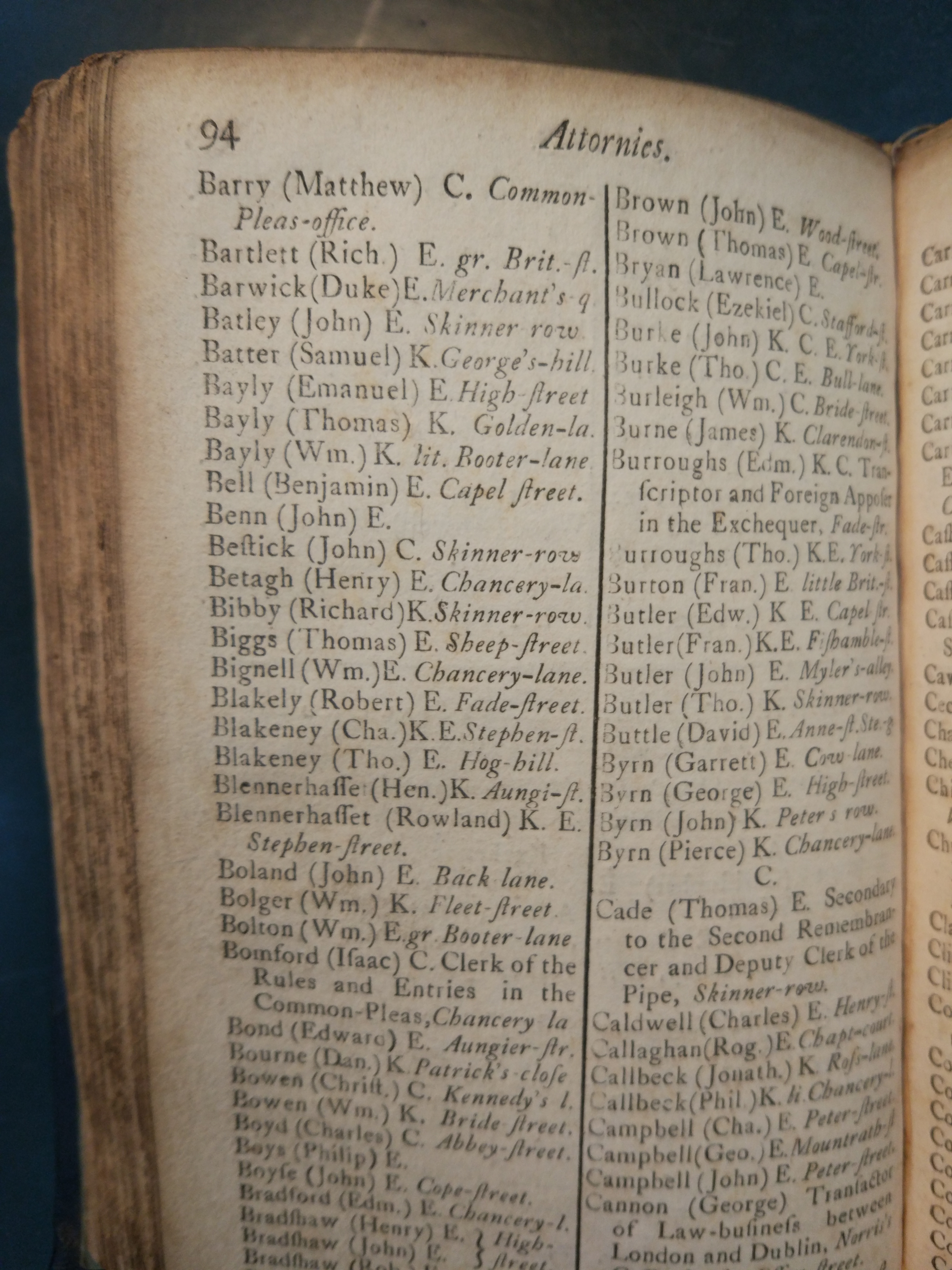
Rowland is also listed at Stephen St, Dublin, on:
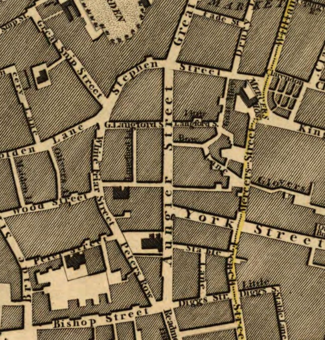
Stephen St (to the N)
and
St.Peter's church (at the "Aun" in "Aungier Street").
From
1797 map.
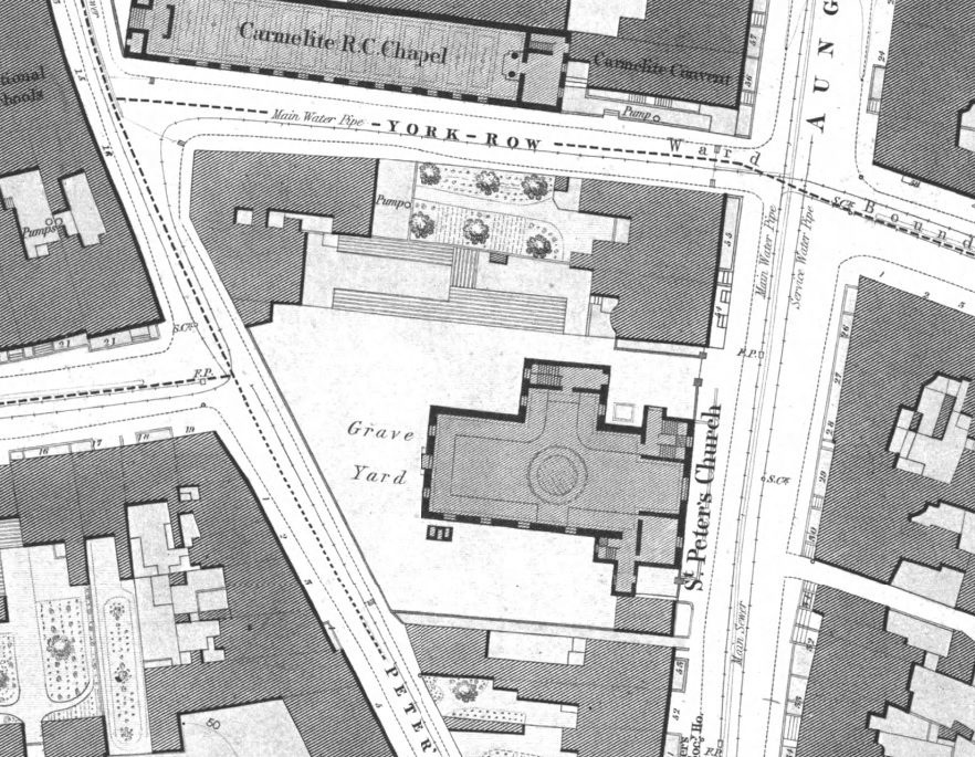
St. Peter's church on
Ordnance Survey of Ireland map.
Date created: 1838.
Date modified: 1847.
From here.
St.Peter's church was totally
re-built 1867.
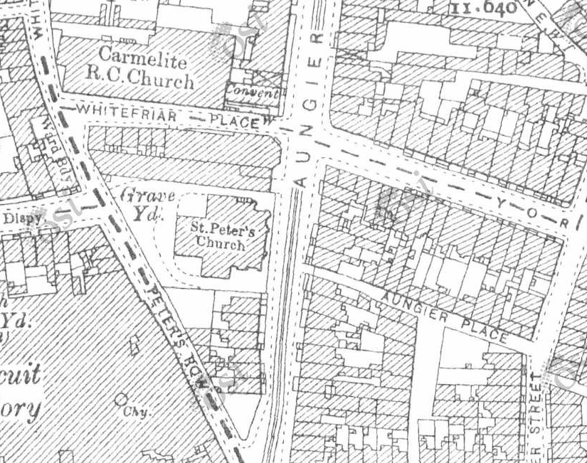
St.Peter's church on
1887 to 1913 map.
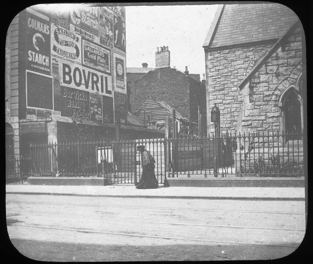
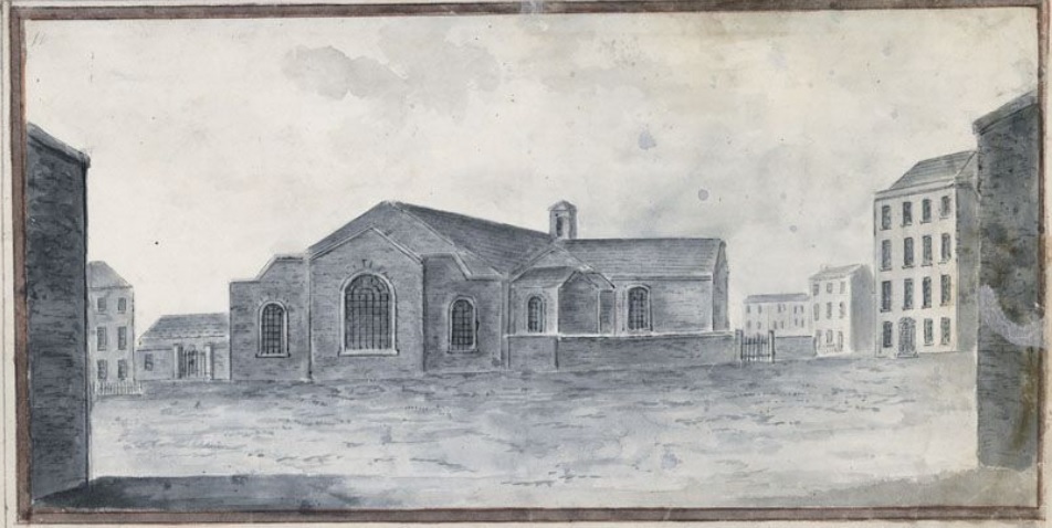
St.Peter's church.
From 1903 photos
at [RCB].
The church was demolished 1982 and is now totally gone.
There is no trace left today.
See 3D aerial view.
Please donate to support this site.
I have spent a great deal of time and money on this research.
Research involves travel and many expenses.
Some research "things to do"
are not done for years, because I do not have the money to do them.
Please Donate Here
to support the ongoing research and
to keep this website free.
