
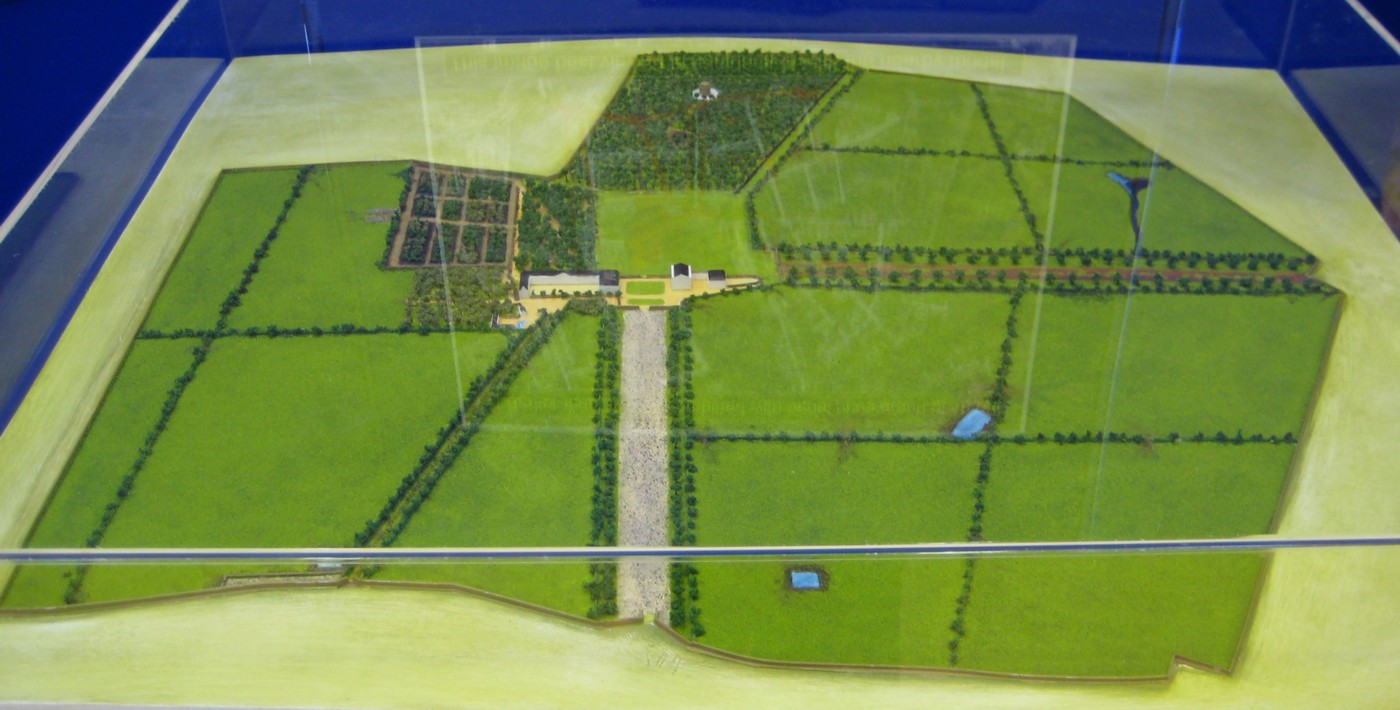
The model by Oliver Murphy based on the map.
Up is W.
At front (E side) is the main Dublin road and the high wall.
Shows at the front the diagonal entrance to the farm/stables (now entirely gone)
and
the main E avenue.
The gardens
are to the W and S of the stables.
In the Deerpark
is the Shell House and the Ice House.
Running off to the N (to the right here)
is the N avenue.
See full size
and other angle.
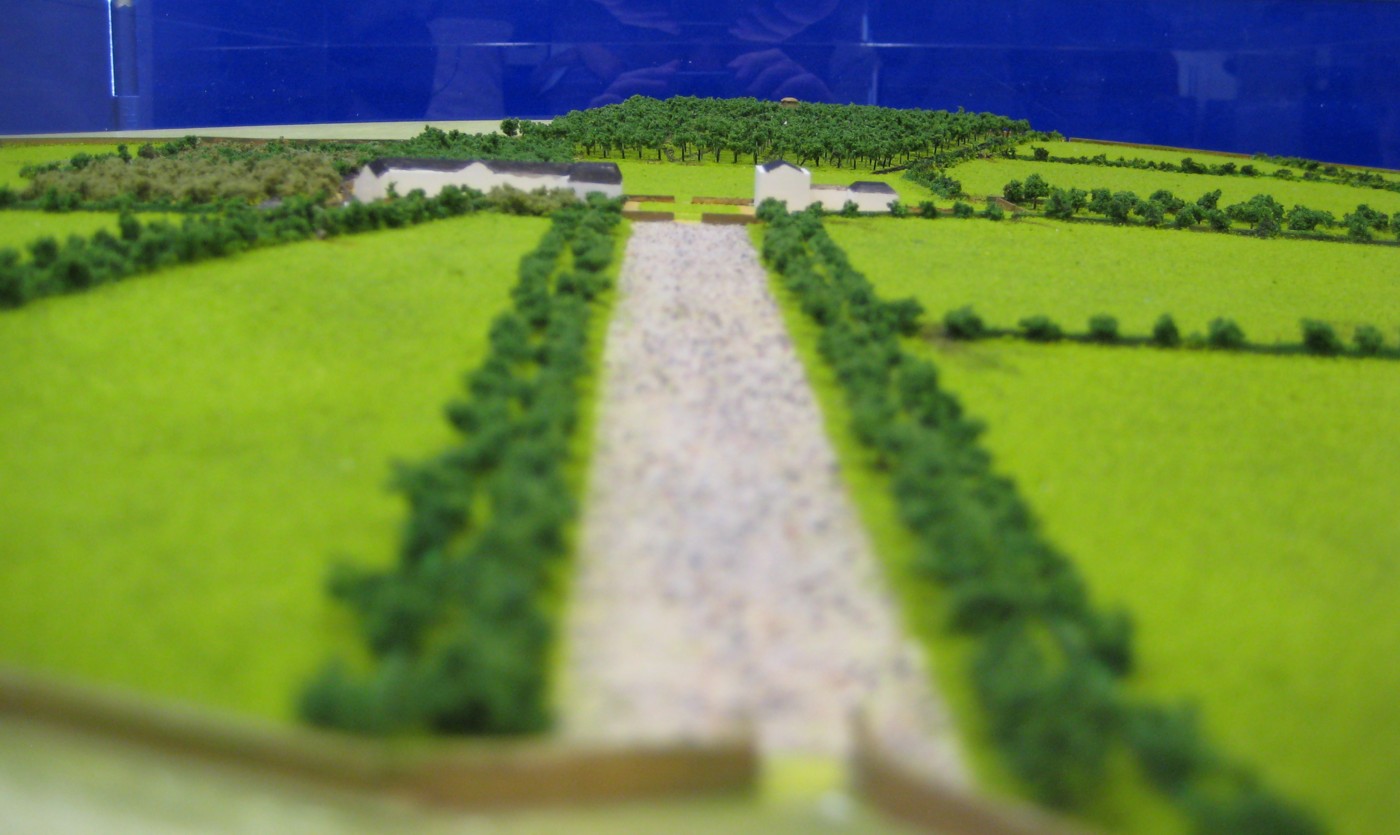
Looking up the main E avenue.
See full size
and similar shot.
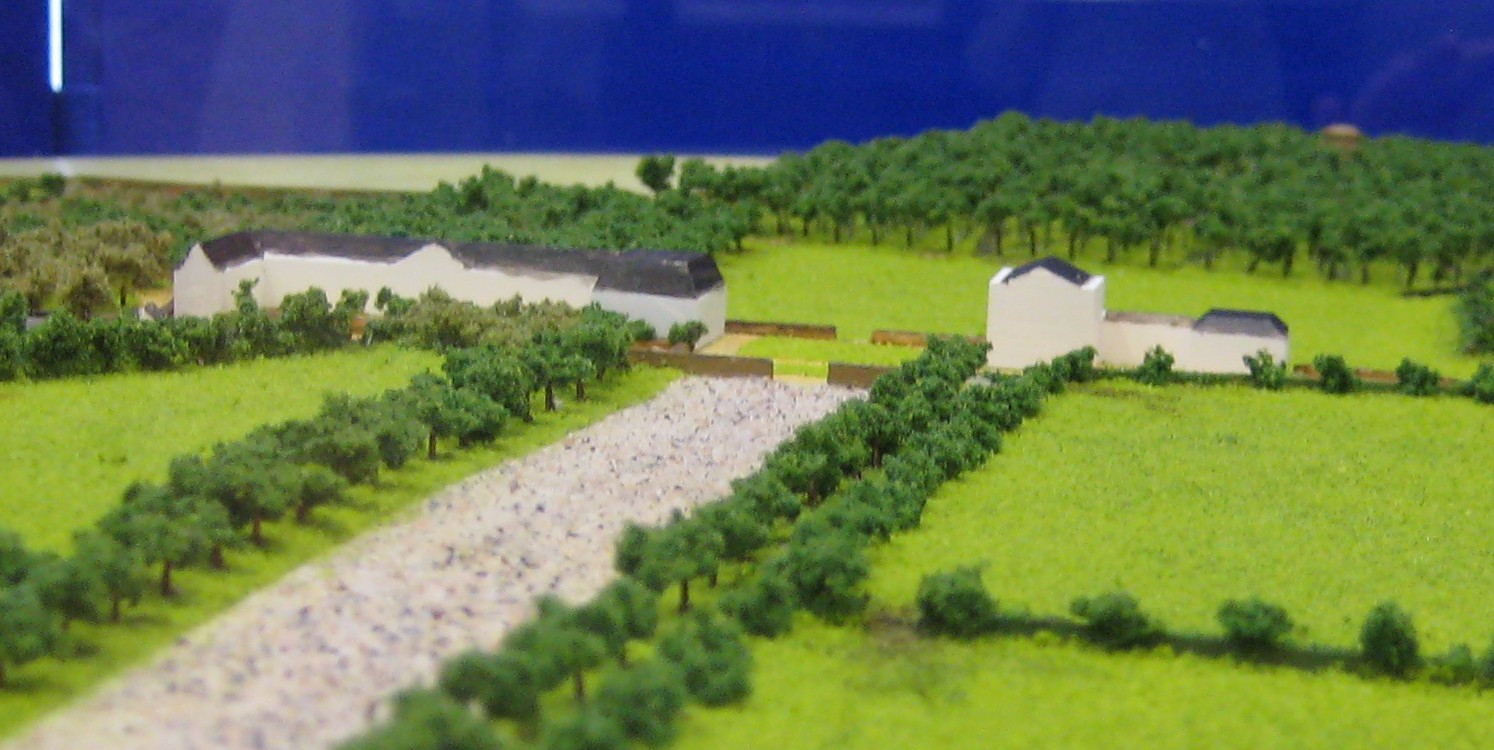
The stables,
the Lodge
and the main block.
See wider shot.
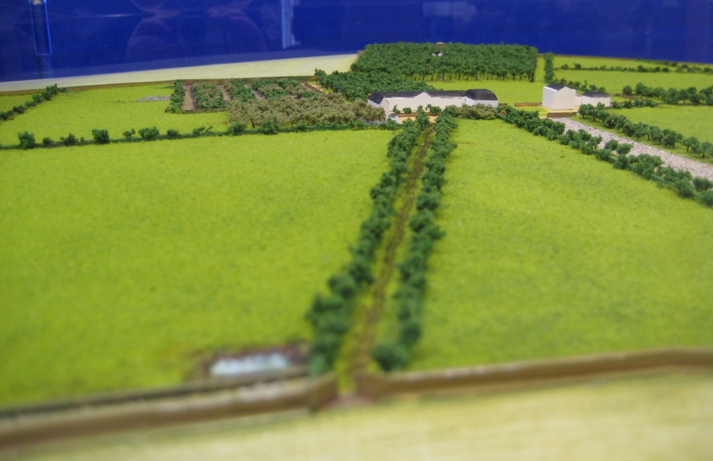
Looking up the now-vanished diagonal avenue into the farm/stables.
See full size.
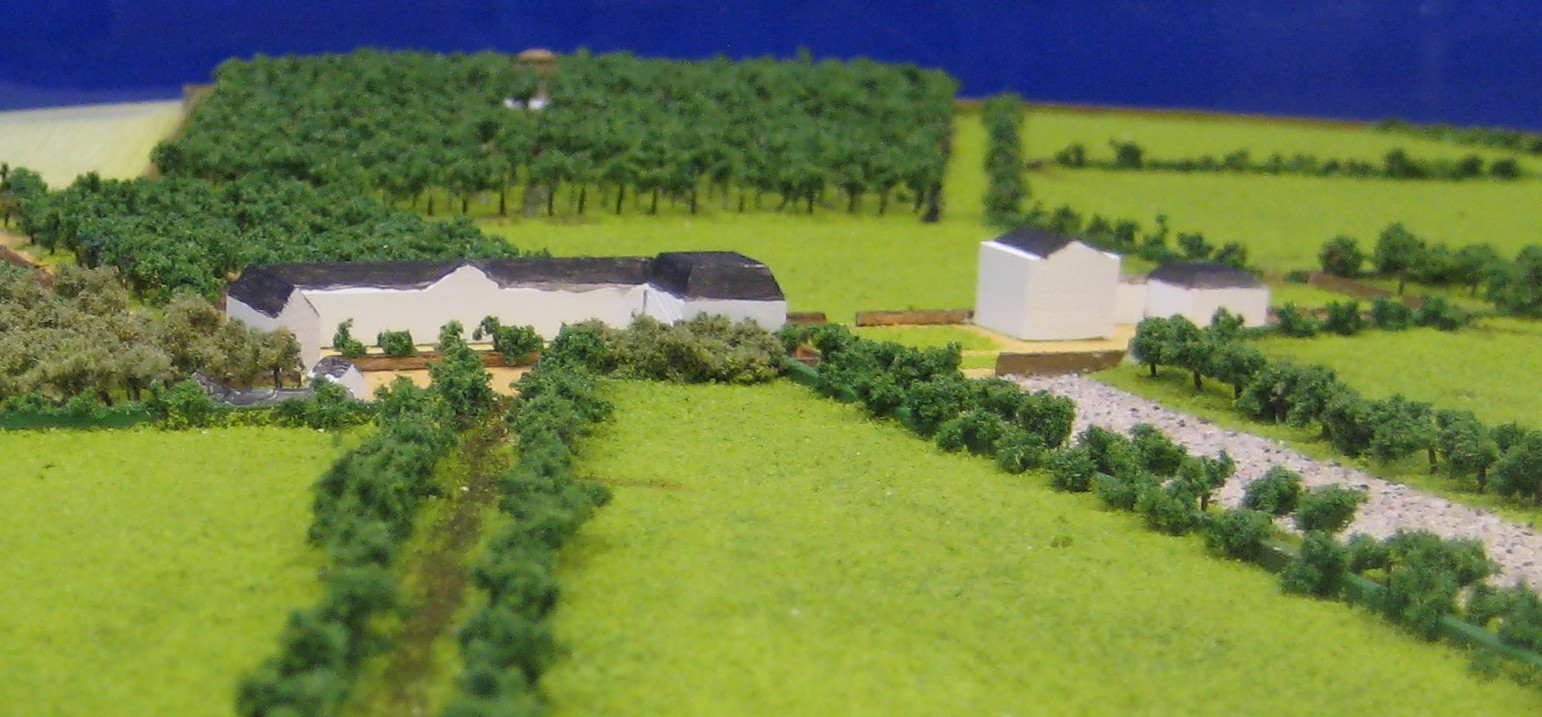
The stables,
the Lodge
and the main block.
From above.
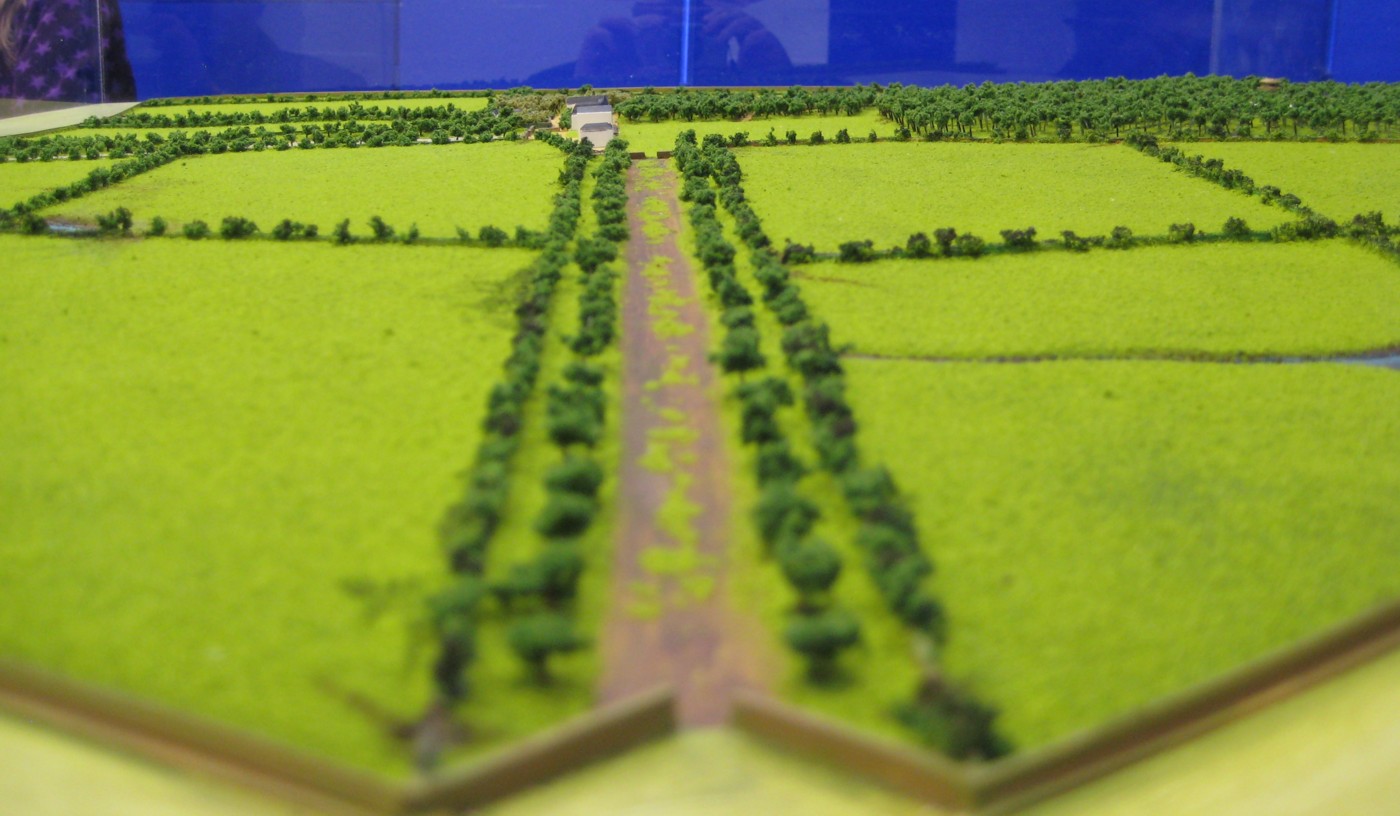
Looking up the N avenue.
See full size.
Please donate to support this site.
I have spent a great deal of time and money on this research.
Research involves travel and many expenses.
Some research "things to do"
are not done for years, because I do not have the money to do them.
Please Donate Here
to support the ongoing research and
to keep this website free.