Sir Edward Denny, Governor of Kerry and Desmond was granted Tralee in 1587.
But
Tralee Castle
was in ruins.
Sir Edward Denny probably lived at Carrignafeela Castle when in Ireland after 1587.
Tralee was
burnt in 1598.
Sir Edward Denny
returned to England before his death in 1600.
His son
Sir Arthur Denny
lived at Carrignafeela Castle some time after 1605.
He died here in 1619.
It is referred to as "Carrignafeely House" at his death.
See extract of 1619 document in
[Hickson, 14 Apr 1897].
His son
Sir Edward Denny restored
Tralee Castle
and moved there
in 1627.
Col. James Ryeves
acquired Carrignafeela Castle
from Sir Edward Denny by
Deed of 1627.
Ryeves
lived at
Carrignafeela Castle.
It was later sold by Ryeves to Crosbie.
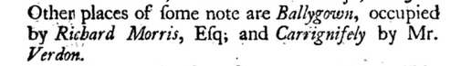
It was occupied by Verdon in 1756.
It later became a ruin.
From entry of 25 Aug 1788 in
[Rev. Daniel A. Beaufort's Tour of Kerry, 1788]:
"I consented, mounted my horse & rode with them to see several dippings of the River Leigh,
and farther on a great Cavern under a ledge of huge rocks, with an open, or window as they call it, upon a perilous abyss.
This is called McElligott's prison."
Sir Henry Denny, 7th Baronet
visited in 1900 the remains of what he calls
"the Denny mansion"
or "Carrignafeely Manor".
See his diary quoted in
[O'Hea O'Keeffe, 2022, p.87].
There is another "McElligott's Castle" in Arabela townland, Ballymacelligott par.

Carrignafeela Castle
is mentioned as still occupied in 1756.
From p.164
of
[Smith, 1756].
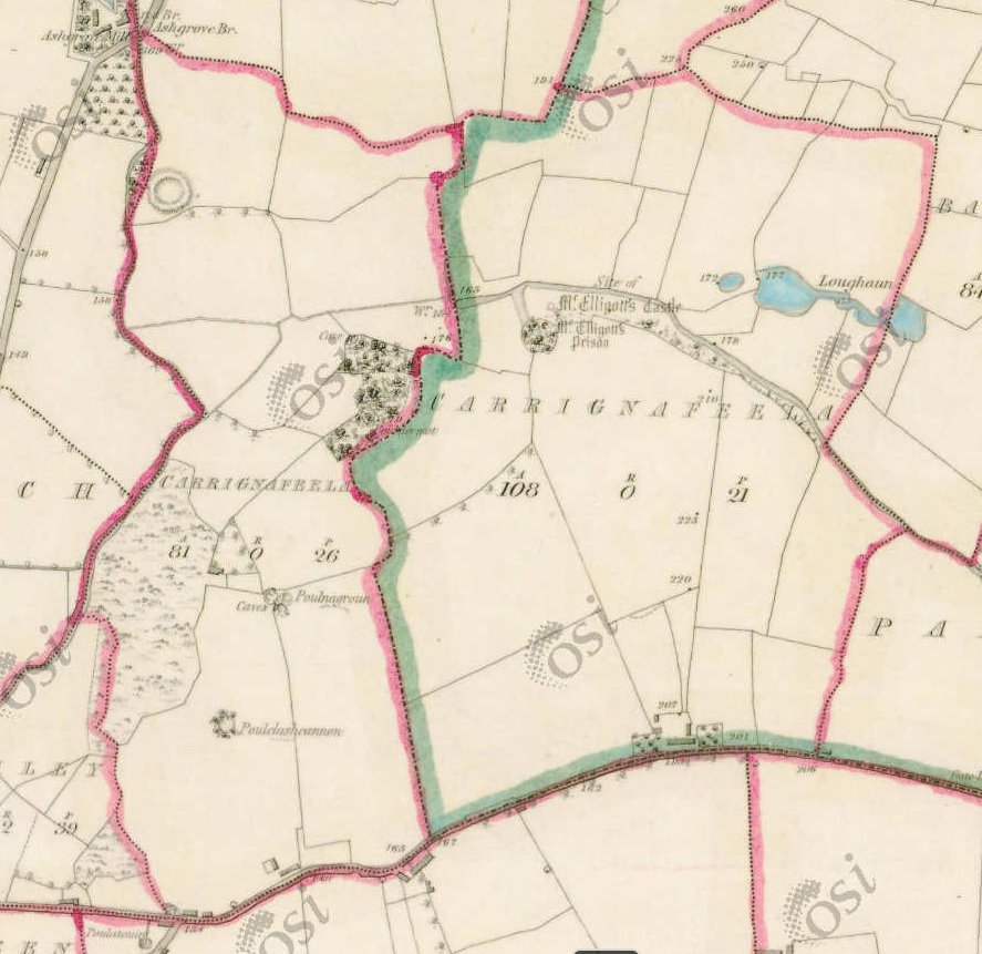
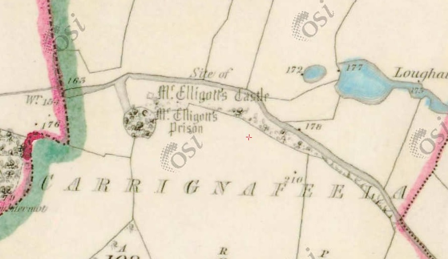
Left:
Carrignafeela townland,
Ballymacelligott par.
Right:
Carrignafeela townland,
O'Brennan par.
Carrignafeela Castle ("McElligott's Castle")
is in the latter.
From
1829 to 1842 map.
Close-up of above.
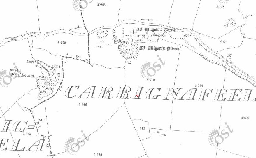
Carrignafeela Castle on
1887 to 1913 map.
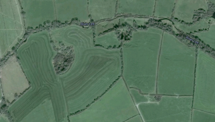
The location on modern
satellite view.
Please donate to support this site.
I have spent a great deal of time and money on this research.
Research involves travel and many expenses.
Some research "things to do"
are not done for years, because I do not have the money to do them.
Please Donate Here
to support the ongoing research and
to keep this website free.
